29 Jan 2026
Going to bed early has its downsides- the sun sets around 630p here, but doesn’t rise again until 8a. I woke up around midnight, wide awake, ready to go.
Shoot.
So I read on my phone for a bit and managed to fall asleep again until almost 7am. I debated hanging around town until my bakery opened again (at 8a) since I ended up eating half my breakfast cake as a midnight snack, but ultimately decided to just hit the trail- today could be another long day.
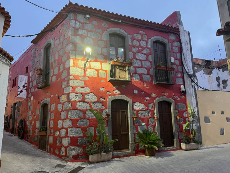
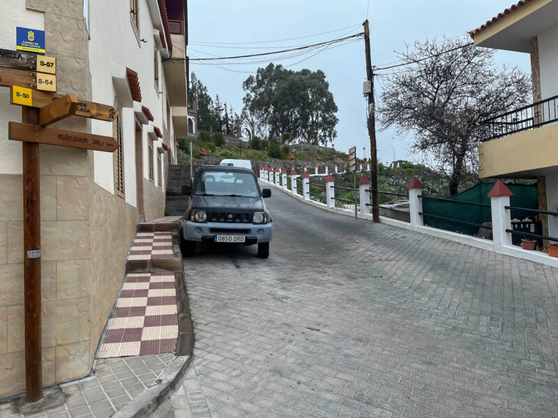
Farewell, little red house:
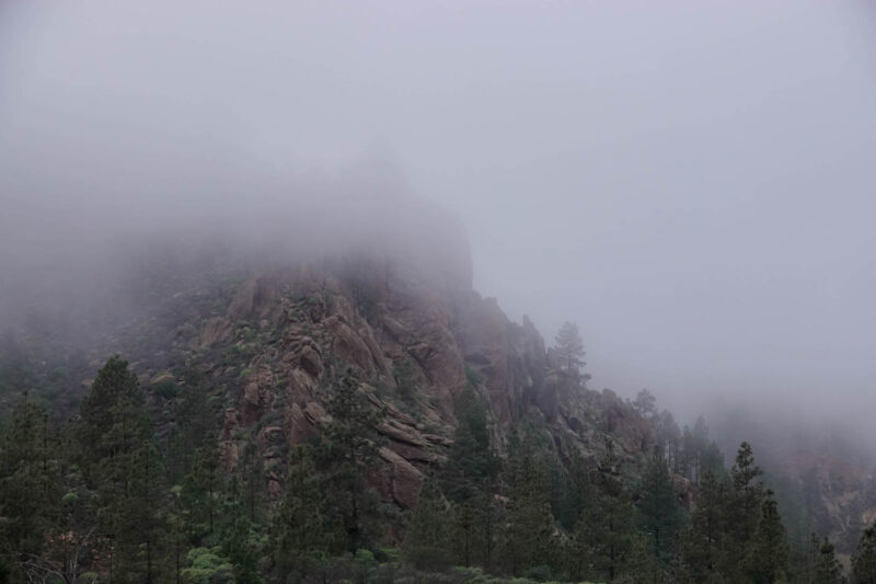
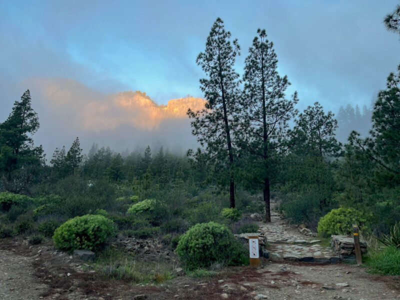
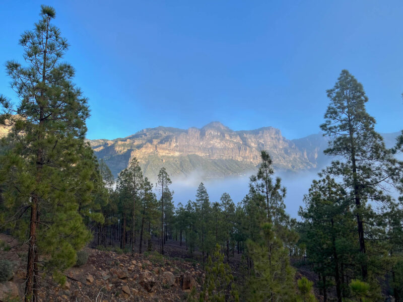
Hello, moody mountains!
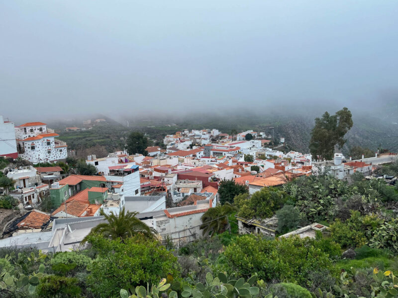
Yesterday’s mist has cleared a bit, and you can see a bit more of the town, but it’s still quite foggy:
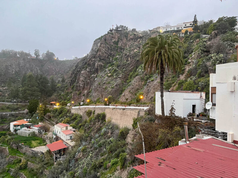
I’m sure that’ll burn off as the sun rises, but I don’t want to wait for that to happen. There will be more views later.
Plus, I want to get this uphill stretch over with!
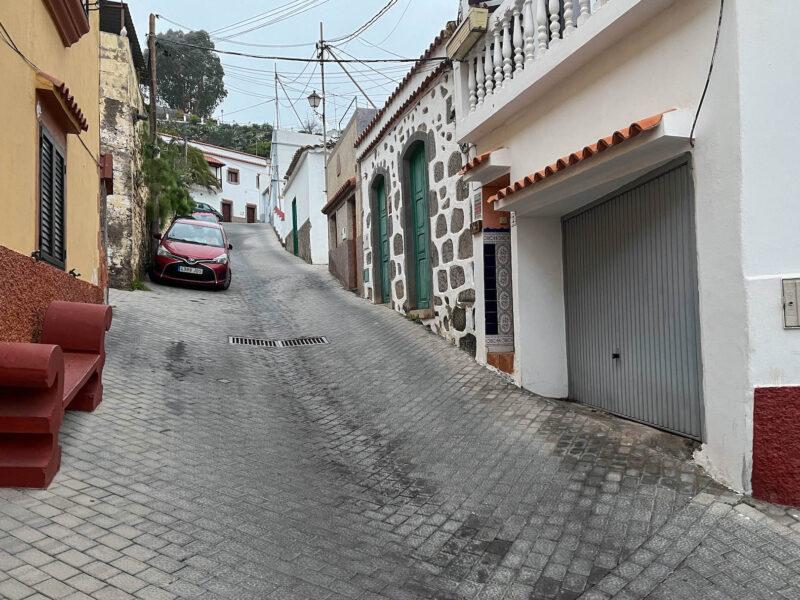
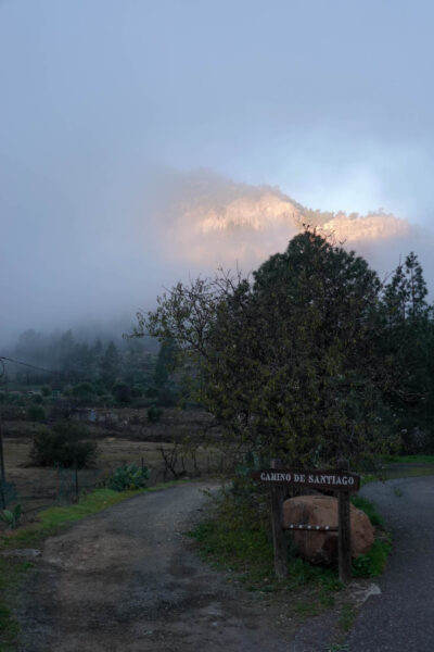
Farewell, Tunte!
Leaving town early was absolutely the right call!
Look at the sun lighting up the mountain face!
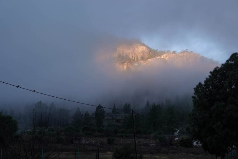
A very nice distraction from all the uphills I’ll be doing this morning!
Up:
and up:
and up:
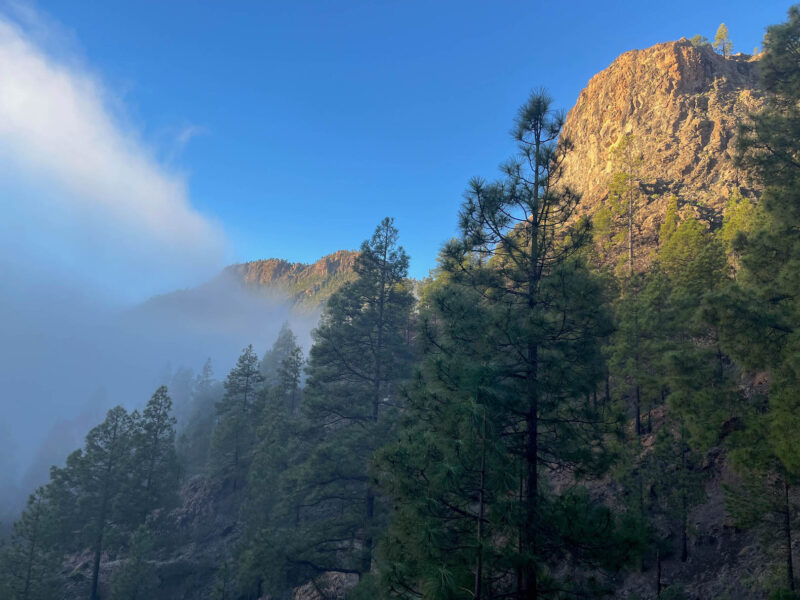
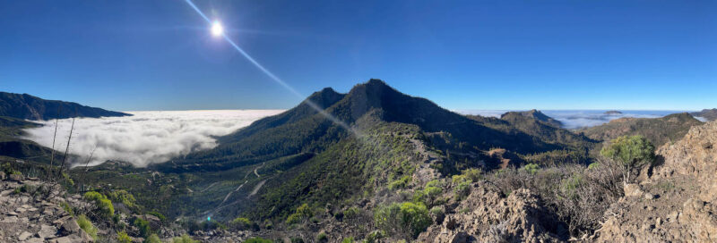
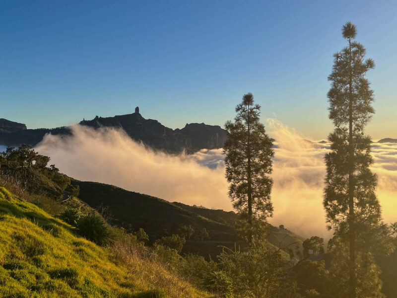
Until I’m even with the clouds:
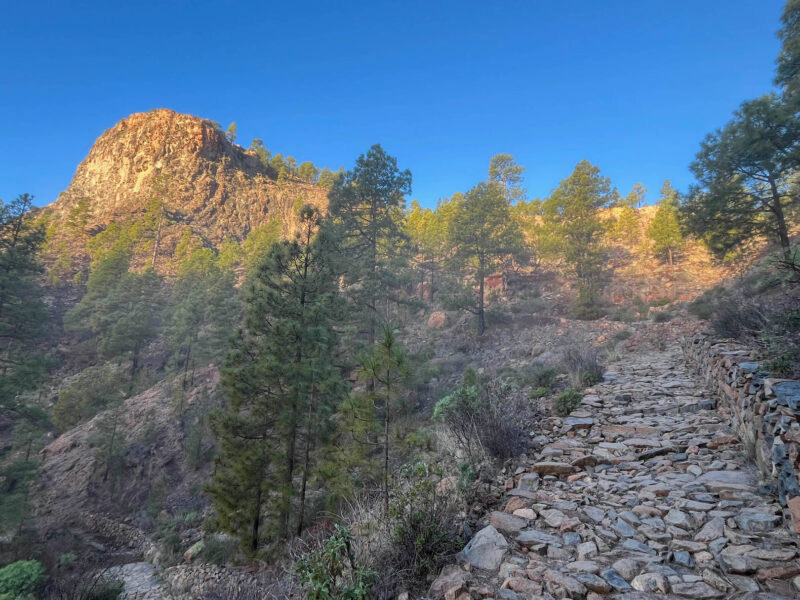
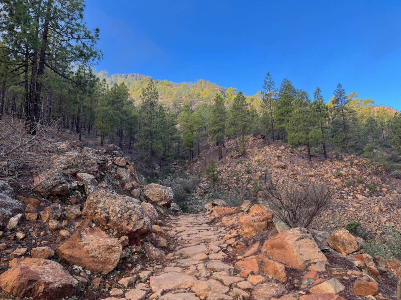
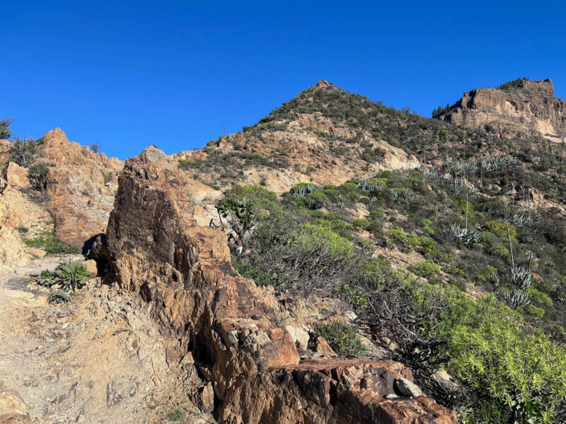
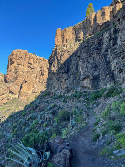
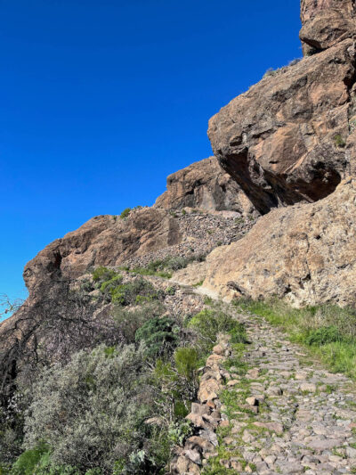
Rocky path:
Last bit of shade before entering the sun:
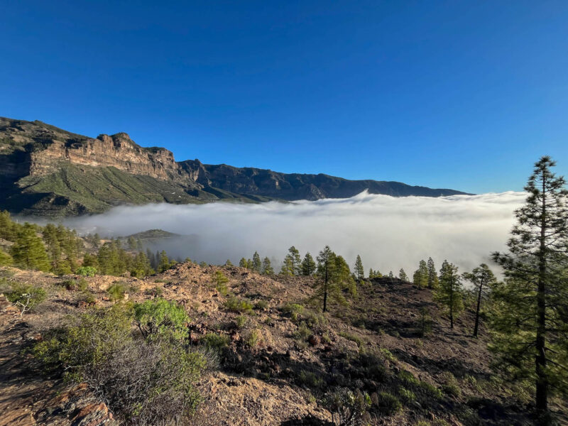
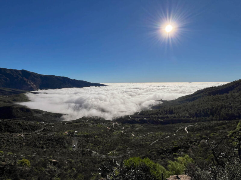
But look at that sea of clouds!
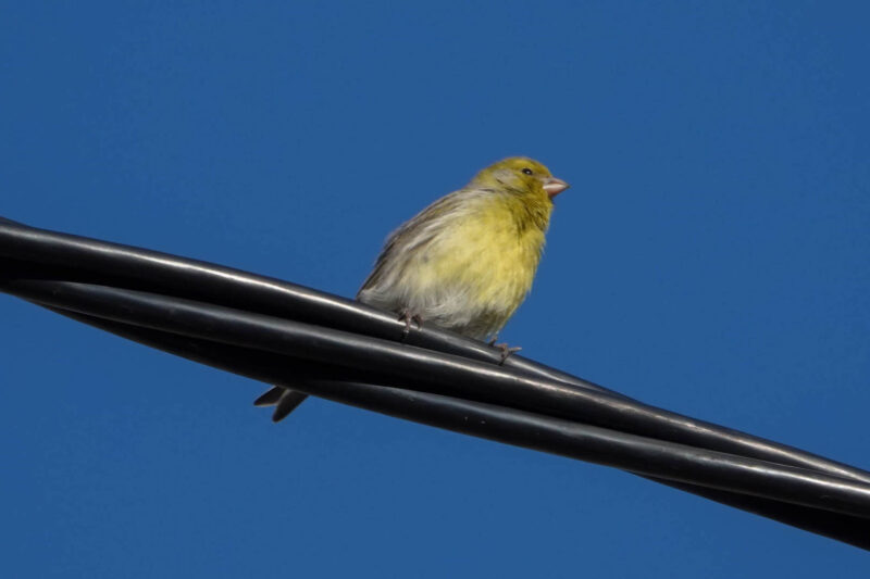
Little yellow finch:
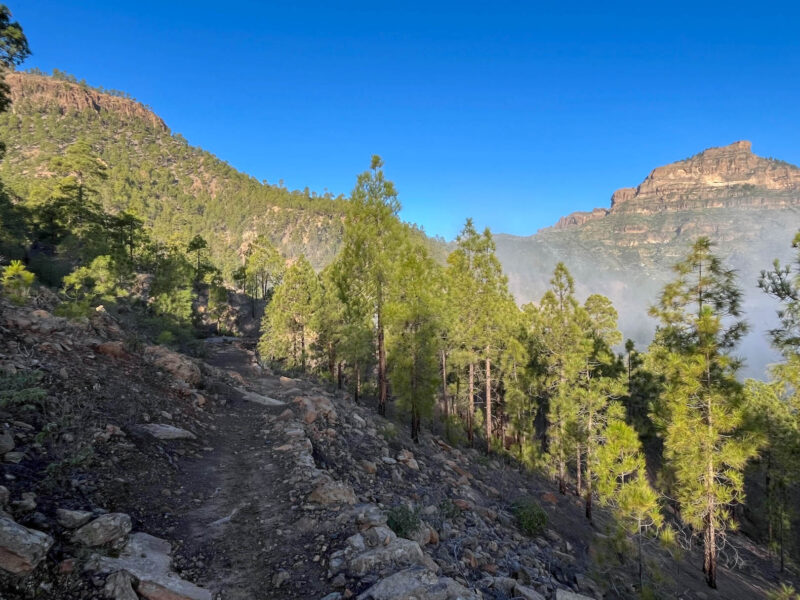
My path goes up and along that ridge:
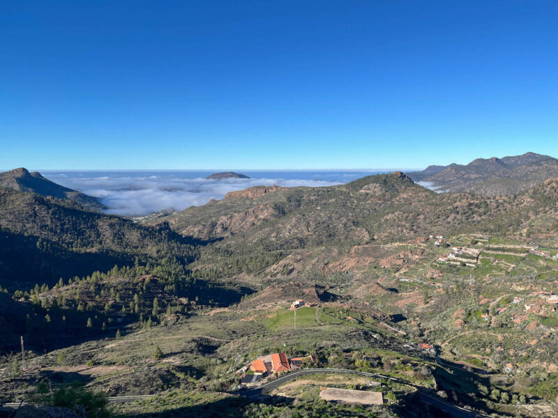
Looking down into the next valley:
I think I made the right choice to not wait for the clouds to lift in Tunte- it looks like the town is probably still covered:
You can kind of see my trail running along the ridge here:
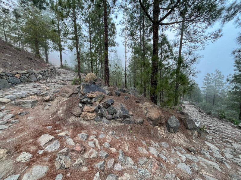
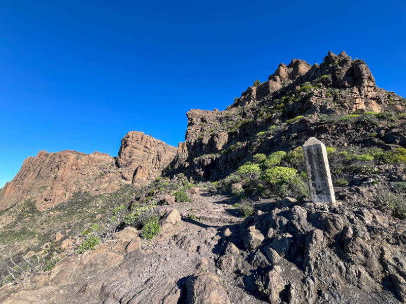
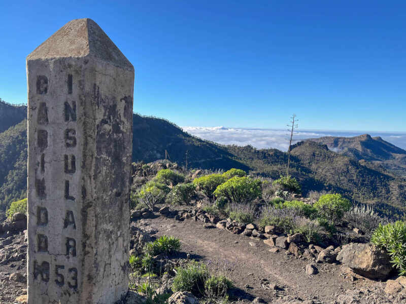
Concrete pillars marking the way:
Enjoying a short stretch of shade:
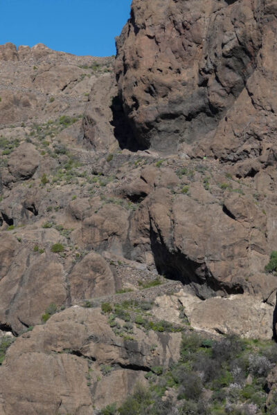
It’s a bit hard to see in pictures, but there is a series of switchbacks going up this cliff:

This isn’t even all of them- the top is actually around the corner:
Up we go!
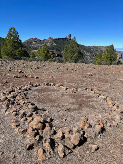
The top was surprisingly desolate…
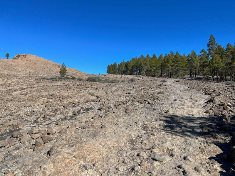
Though it did start to alternate between rocky stretches and small forests:
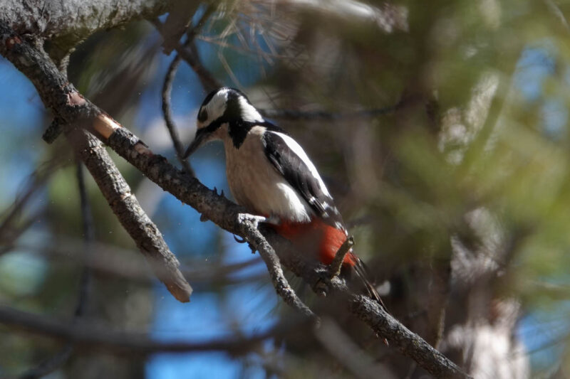
Where I found this woodpecker:
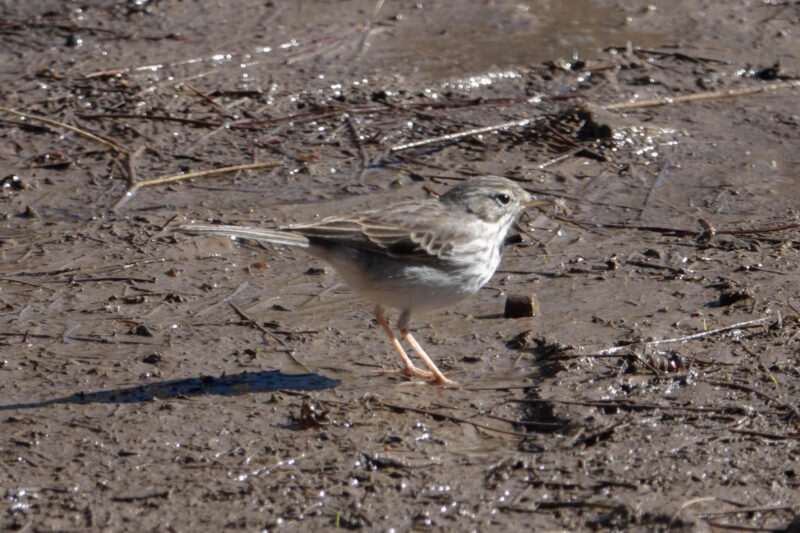
and a little bird taking a mudbath:
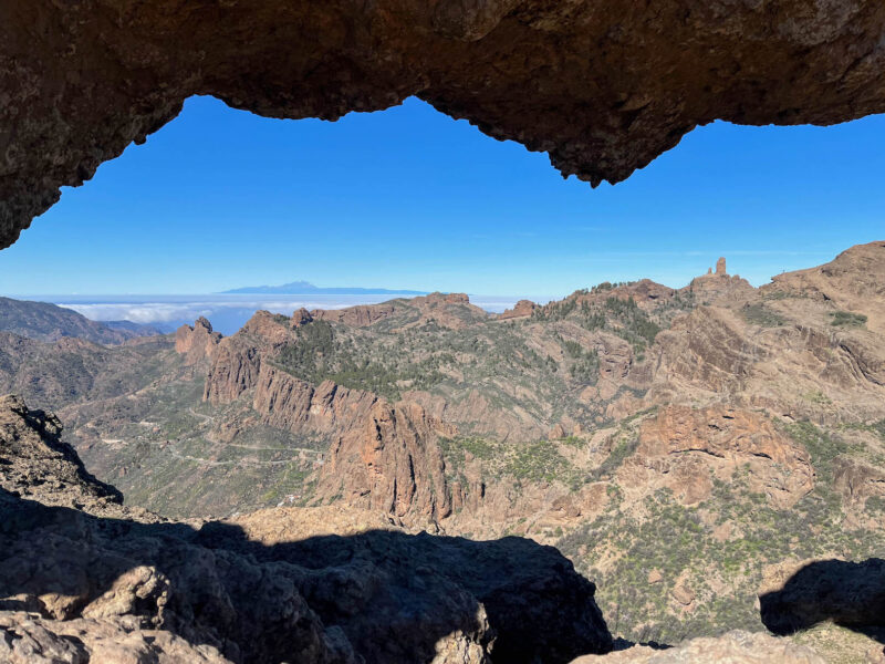
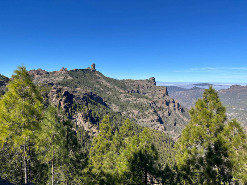
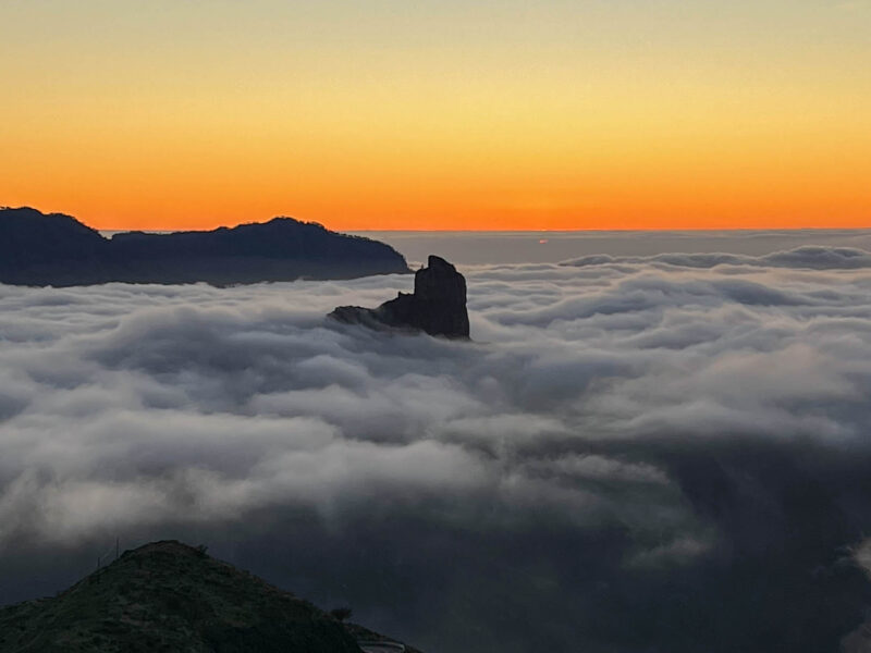
I took a detour to Ventana del Nublo – Cloud Window:
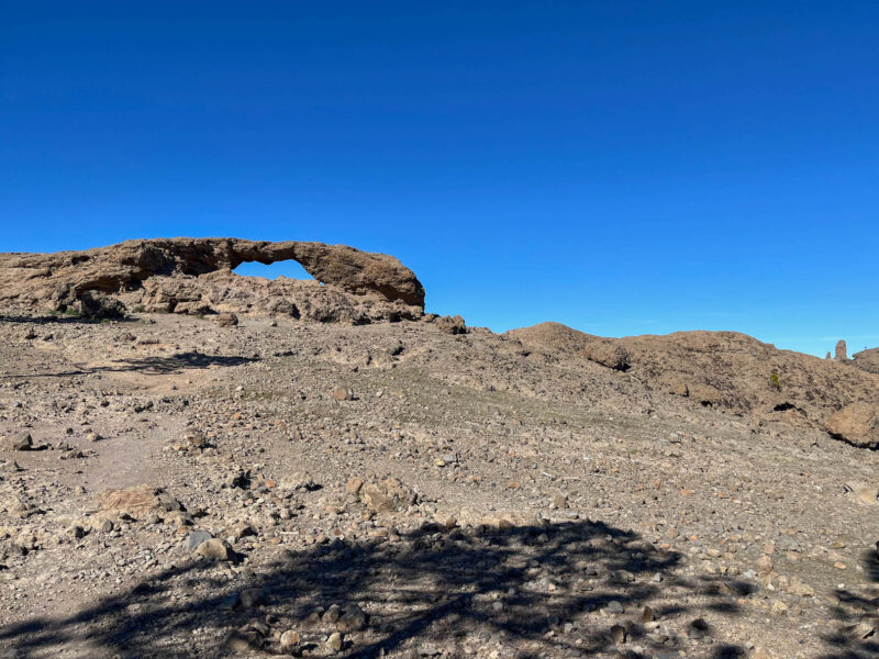
It had cool views of Roque Nublo – Cloud Rock:
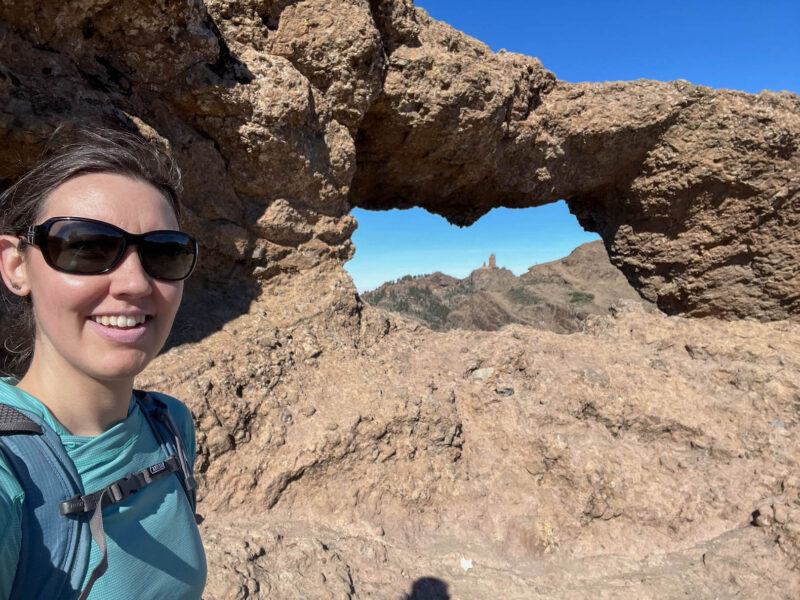
as well as just an over all neat landscape:
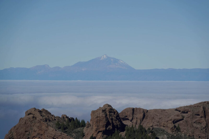
Way off in the distance there is another of the Canary Islands- Tenerife:
Roque Nublo:
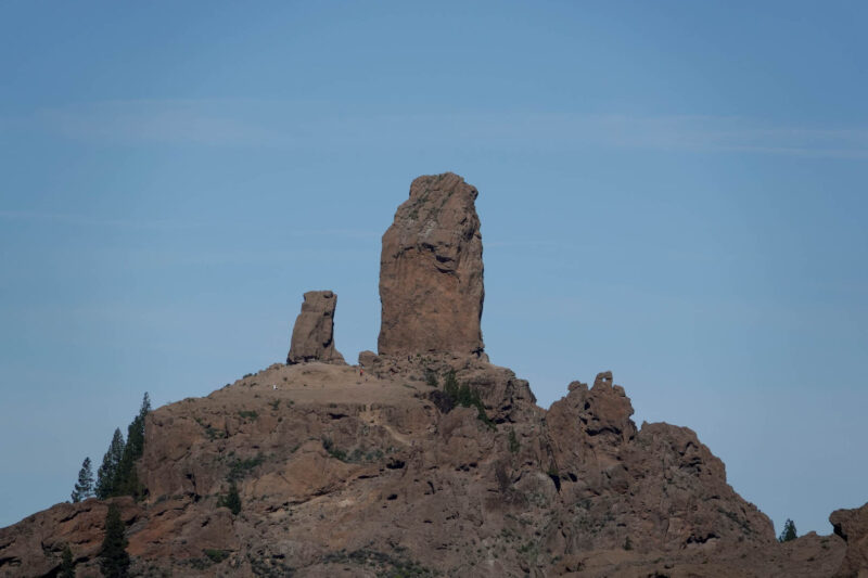
Roque Nublo with cool cliffs:
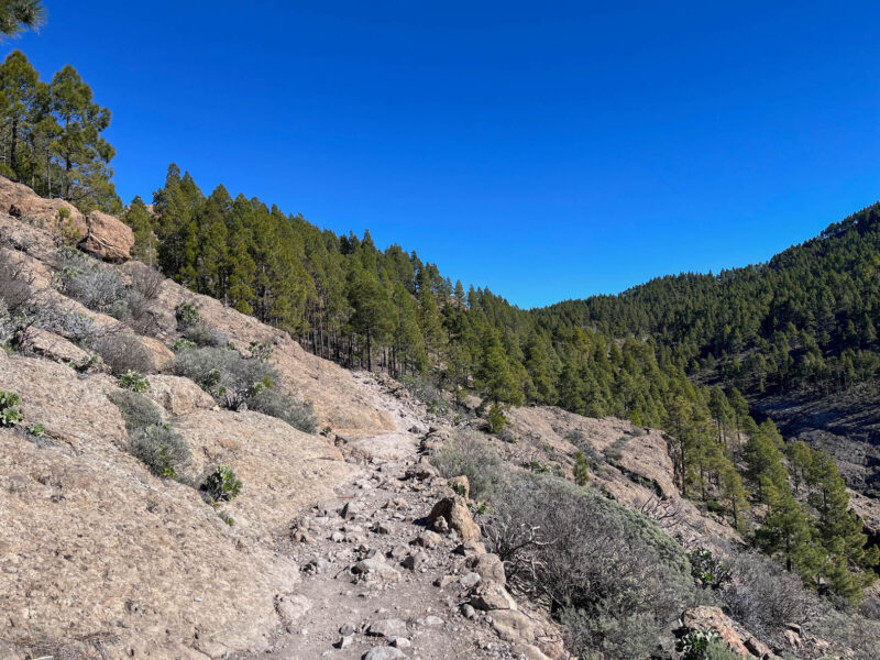
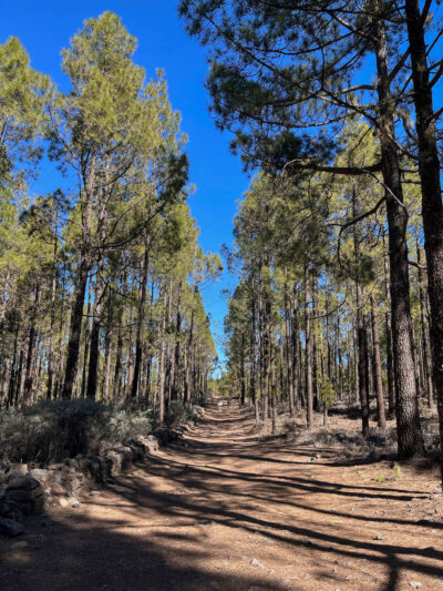
Then, it was back into the woods, down a nice, pine-strewn trail:
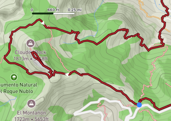
From here, I’ve got a couple options:
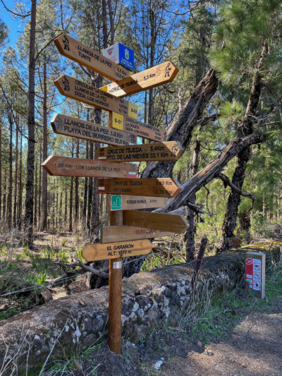
The traditional Camino goes from here (Garañón) to Cruz de Tejeda- it’s about 5km and since I’ve just passed the highest point on the trail (5600-ish feet), is mostly flat to downhill. It would be a great way to round out today after all the uphills I’ve done…
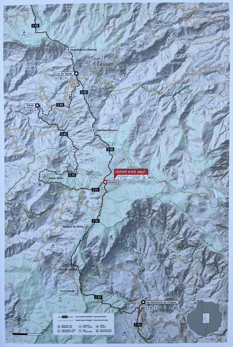
(click to embiggen)
Or I could take this variant:
It adds about 10km to my hike and at the beginning of the day, I told myself I was skipping it- just take the nice easy path into my next town.
Then I hit this flat-ish section and decided I could totally do the extra miles.
Plus, I’m running low on snacks and there’s a store in Tejeda. So off we go!
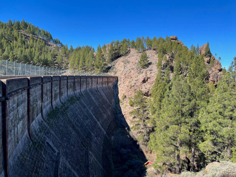
This route has a few big up and big downs:
Across a dam, then back up toward my rock:
Unfortunately, here’s where things got a little complicated…
I made it to a junction and was starting up the path when a guard stopped me. He asked if I spoke Spanish, I said a bit, but totally didn’t catch what he said and had to hit him with a no entiendo.
He rephrased it and I finally got it- I need a permit to hike this part of the trail. I can get one at their little kiosk, but it’s a timed entry thing and there are a bunch of people in front of me. I explained I was hiking the Camino and really just needed to get to Tejeda. He pointed out another trail I could take (that would actually cut off some miles):
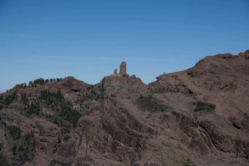
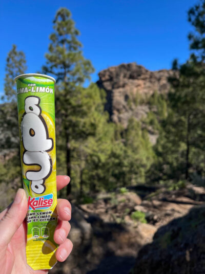
So I’ll be missing out on cool rock, but honestly, I like the views from the distance better. Plus, there was a snack shack here, so I picked up a frozen treat for this next leg of my hike:
What you may or may not be able to tell from these pictures and that topo map is that this connector trail is essentially 1 mile straight down, from about 5200ft to 4200ft! OOF! I may have sacrificed my remaining big toenail on this part of the hike!


Water should not be foamy…
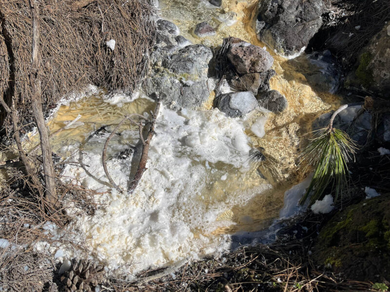
Not sure what’s wrong with it, but I definitely did not touch it!
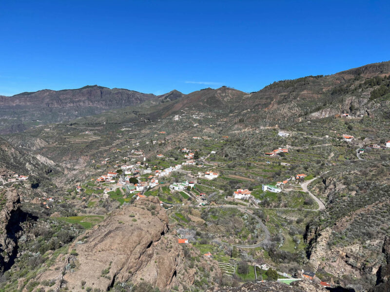
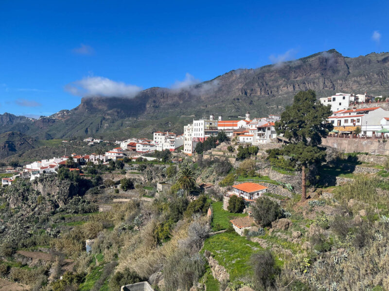
My trail will take me down into this town:
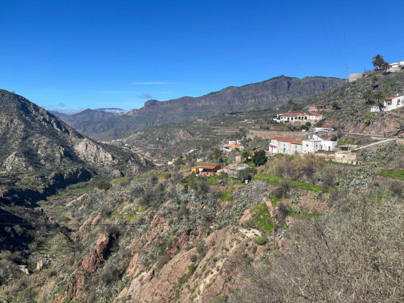
And ultimately, over to Tejeda, off in the distance:

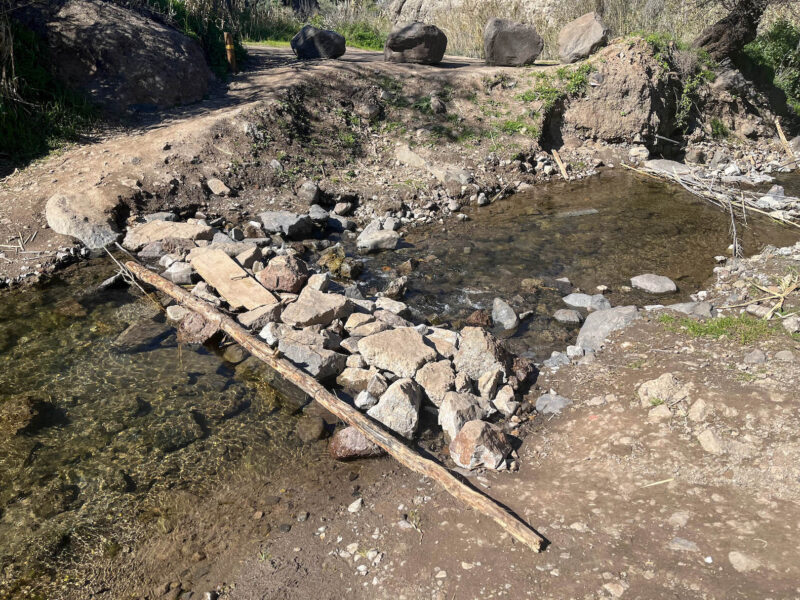
But first, I need to go over a sketchy bridge:
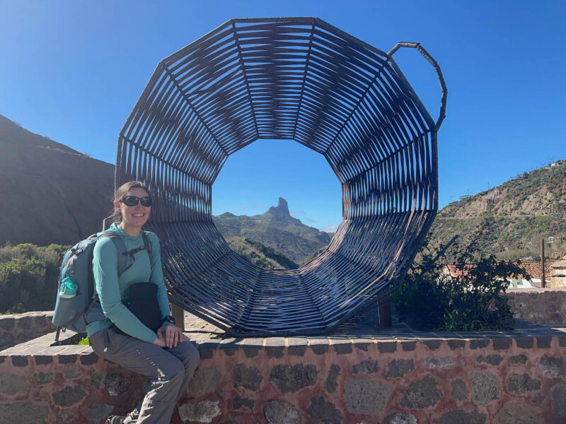
One of the other reasons I really wanted to take this path was for this viewpoint, which had a selfie stand!
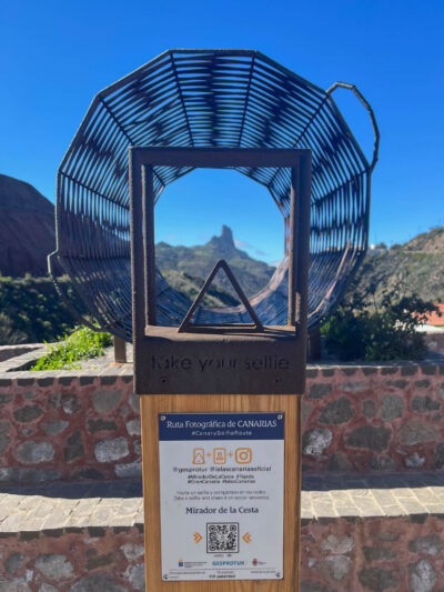
I love selfie stands!
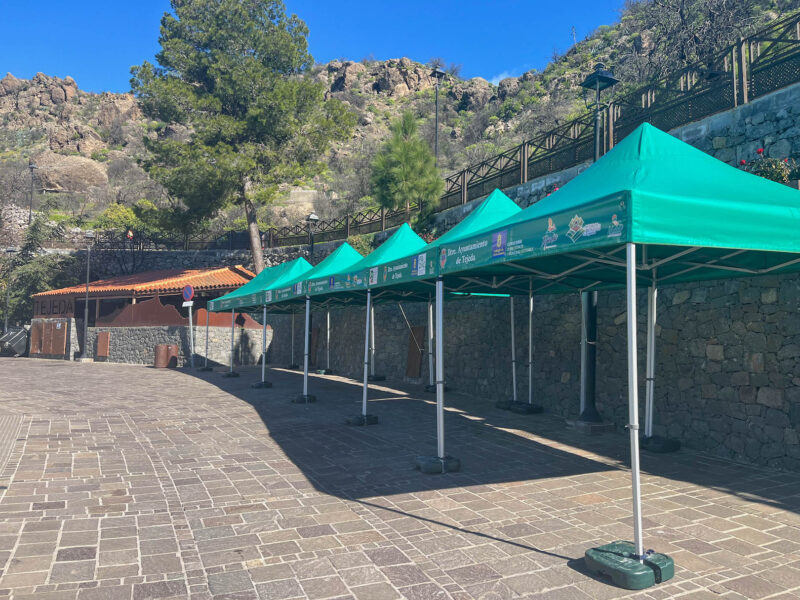
Tejeda! I’ve almost made it!
There must have been some event going on, because these green tents were EVERYWHERE! and while I appreciated the extra shade, there were also a ton of people here.
I didn’t realize it at the time, but that shop- Dulceria Nublo, was actually one of my stops here- they’ve got a pastry call palmera that I want to try!
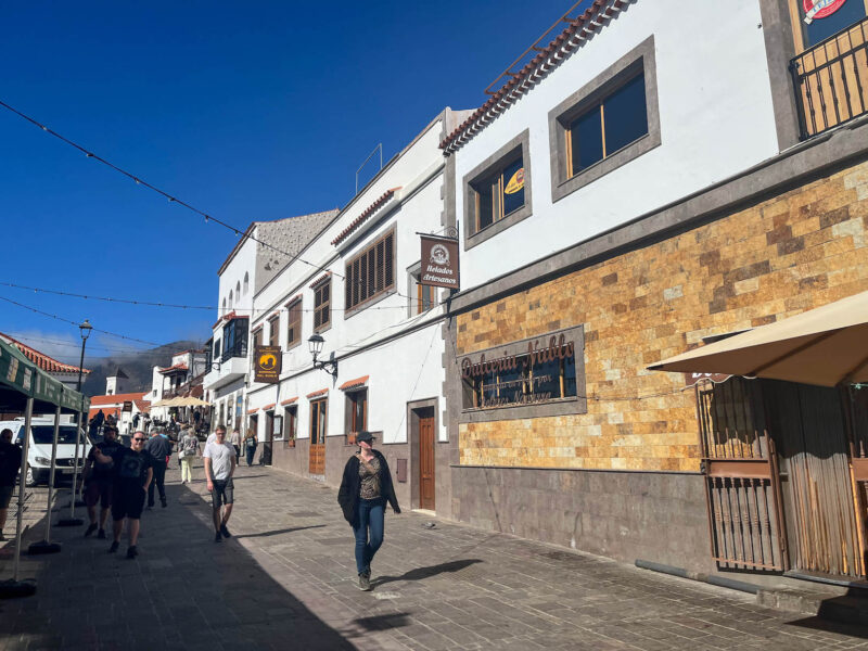
I wandered around town for a bit, but the tourist information desk was closed, so no stamp for me, the grocery store was currently closed (things here tend to shut down in the afternoons for siesta) and while I planned to eating my palmeras under a shady tree, there were just too many people for my liking so I picked out a couple flavors (I wish I had taken a picture of their counter- so many treats it was overwhelming!) and decided to use one of my bailout points.
Now that I’ve got food (one of which is chocolate and will melt), I don’t really want to do an extended hike- I’ve got about 5km and 1800′ of elevation gain to my next stay and have already been hiking for about 8 hours.
So I took the bus:
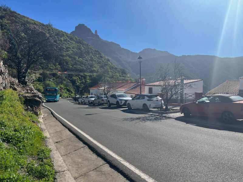
Don’t judge. Hike your own hike.
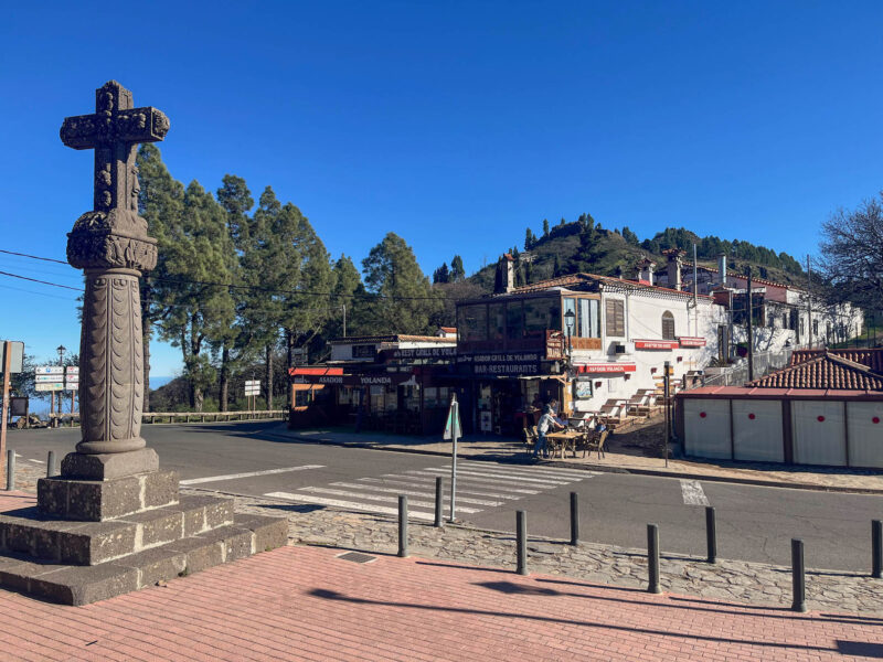
The bus dropped me right next to the information desk, where I chatted with a wonderful lady, mostly in Spanish, but occasionally in English when I struggled with some of the more technical vocab. She was a fount of knowledge, and obviously loved sharing the history of the area. I wish I had eaten before coming to talk with her because after 10 minutes or so my stomach started rumbling.
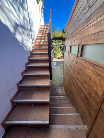
Across the road there is where I’ll be staying. It, unfortunately, came with more stairs:
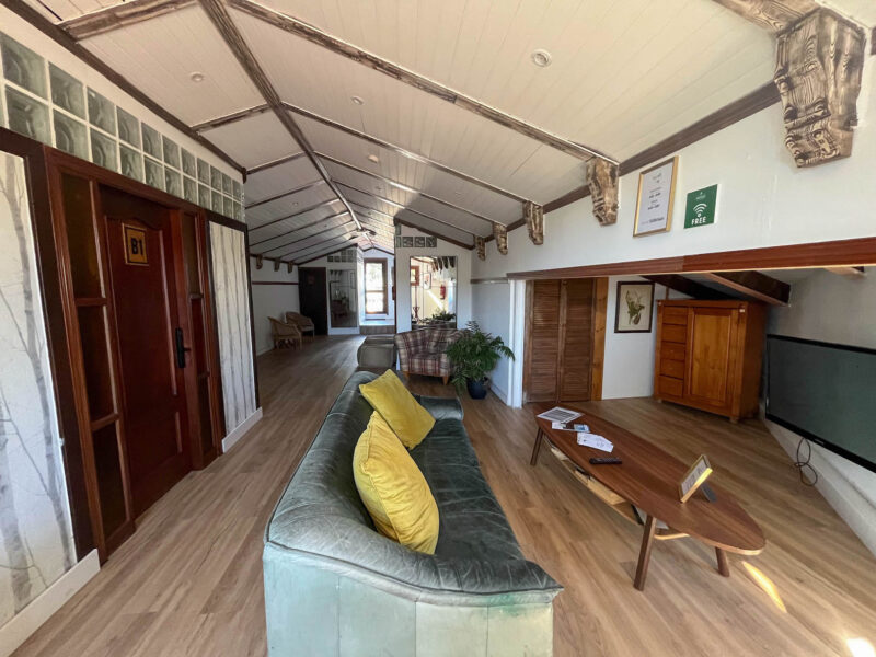
A shared gathering area:
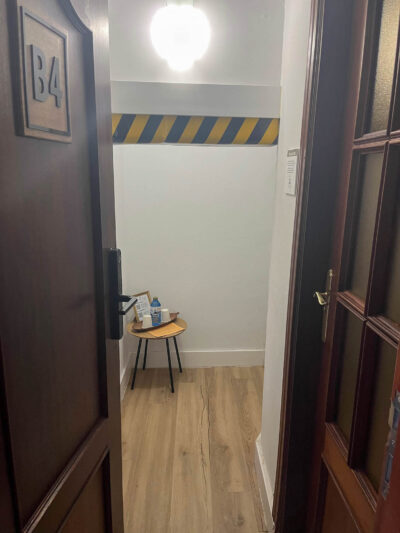
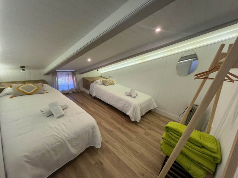
My room, complete with head-whacker:
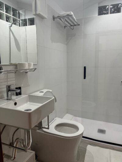
Bathroom to the right:
and bedroom:
Rooms here were quite limited- I was hoping to splurge and stay at the other hotel, which overlooks the valley, but they were full 🙁
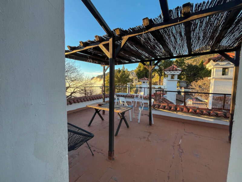
It also had a little balcony area:
These are palmeras:
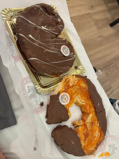
I chose a dulce de leche one and an orange one (I figured that was a good variety- one fruity, one chocolatey) and finished off the orange one as dinner. I didn’t really know what to expect, but it was flaky and the orange was a tasty, if sticky, choice. I’ll save the other guy for breakfast.
I ventured out one last time before bed to watch the sun set:
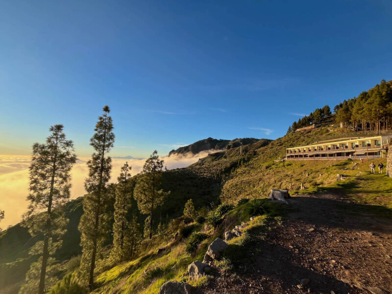
(this is the other hotel- if you stay here, you can watch the sun set from your room!)
Swirling clouds:
A shot of the valley as the sun sets:
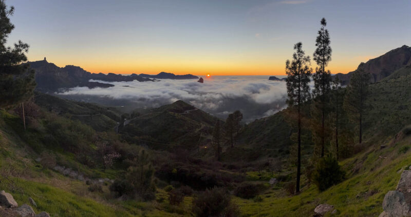
Good night, sea of clouds!
Total distance: 32.5 miles