2 Apr 2021
Good morning, mountains!
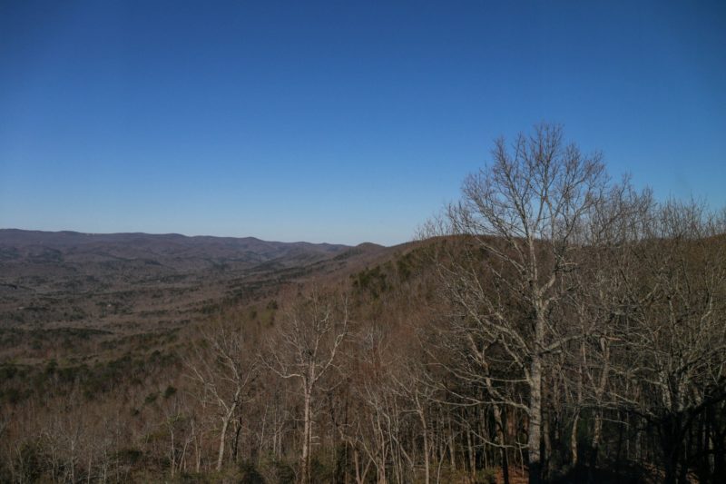
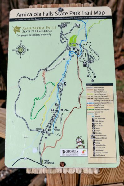
Today, we planned to hike Amicalola Falls, but I had a hard time finding a decent map online and then we learned that some of the trails were closed due to the recent storms, so I wasn’t really sure where we’d end up hiking. Here’s one of the more helpful maps I was able to find:
We drove down to the parking lot by the orange and white trails. According to the Park’s website, that white trail was closed, so we opted to take the orange trail to the green trail, to the yellow trail, to the blue trail to the base of the falls. The orange trail (Spring Trail) started off a bit… treacherous? but it leveled out nicely. There were some marked trees, but not quite as many as Matt would have liked.


We may have guessed on a few paths, but in the end, we made it to the Reflection Pool, and the start of the blue trail (Appalachian Approach Trail)
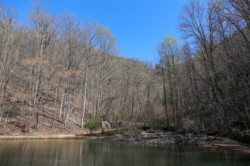
Turns out, there’s a parking lot down here. Knowing that would have come in handy but I’ll never argue with a longer hike 🙂


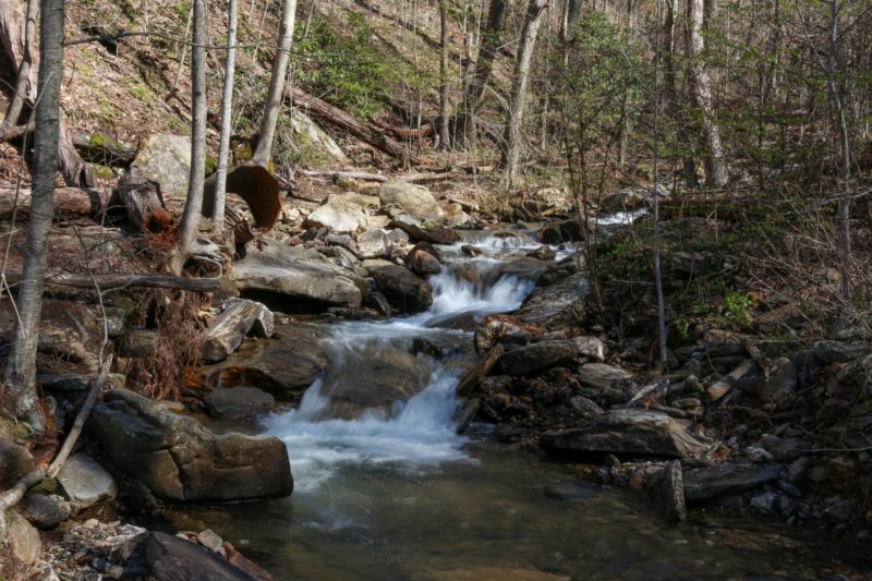
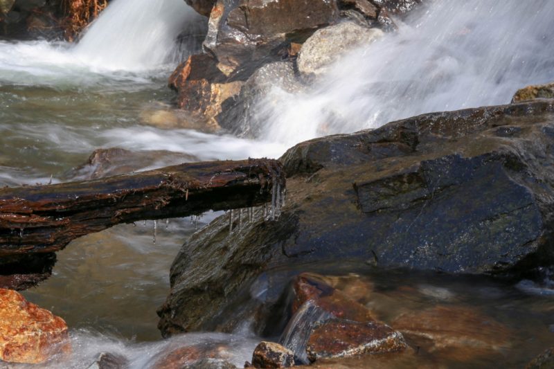
The approach to the base of the falls
It was still a little chilly out:
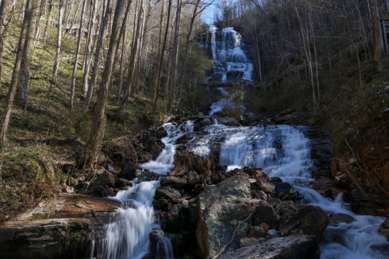
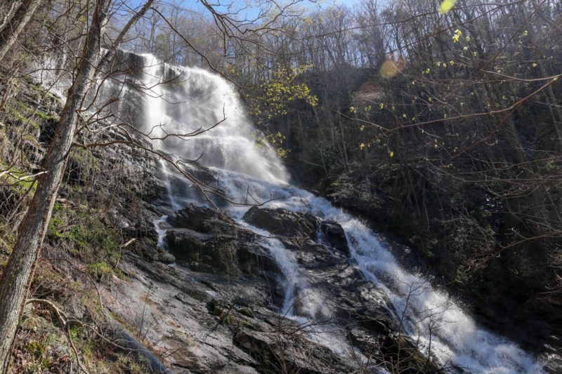
This is Amicalola Falls!
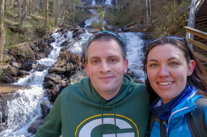
This is us at the falls!
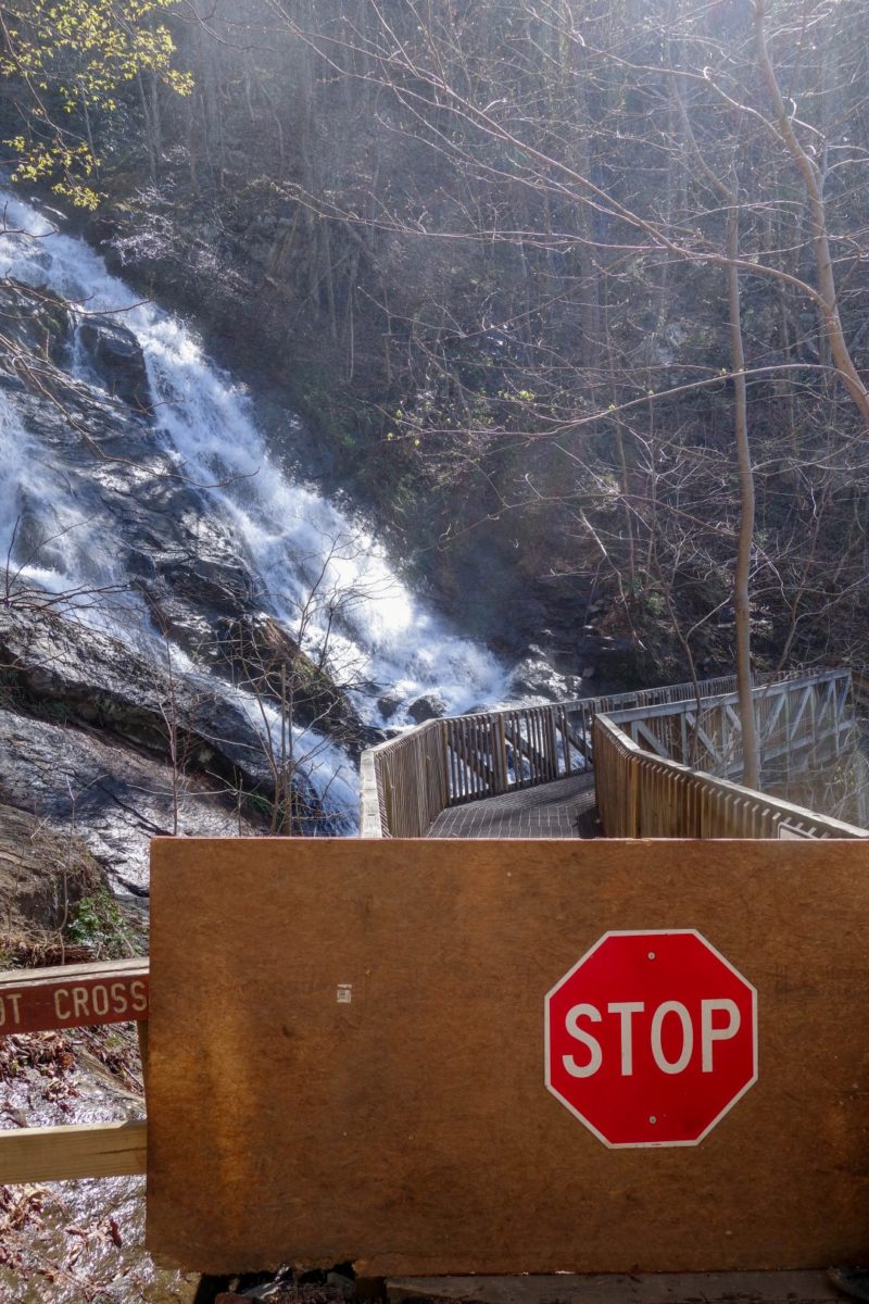
I was hoping to hike to that bridge midway up the falls, but these stairs were looking less than stable…


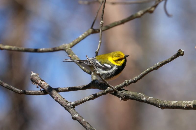
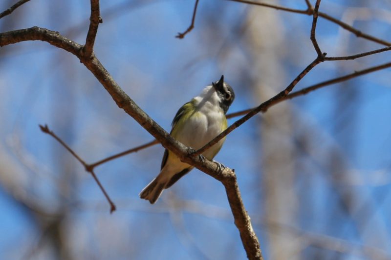
So we opted to head back up to the parking lot and see if the trail that goes to the middle of the falls was actually closed. On the way back, I found this pretty little finch!
and spotted this… special… bird too
Back at the parking lot, we saw several people heading down the white West Ridge Falls Access Trail, so we decided to check it out. Turns out it wasn’t closed after all.
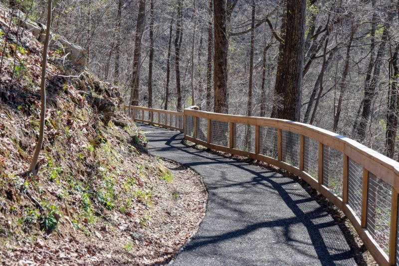
This was another recycled tire trail- flat and easy! And a great view of the falls:
Unfortunately, that cool bridge I spotted from the base of the falls was closed as well 🙁
Since we hiked as much of the trail as possible, and our tickets to Rock City Gardens (our next stop), were timed, we hit the road and headed west.
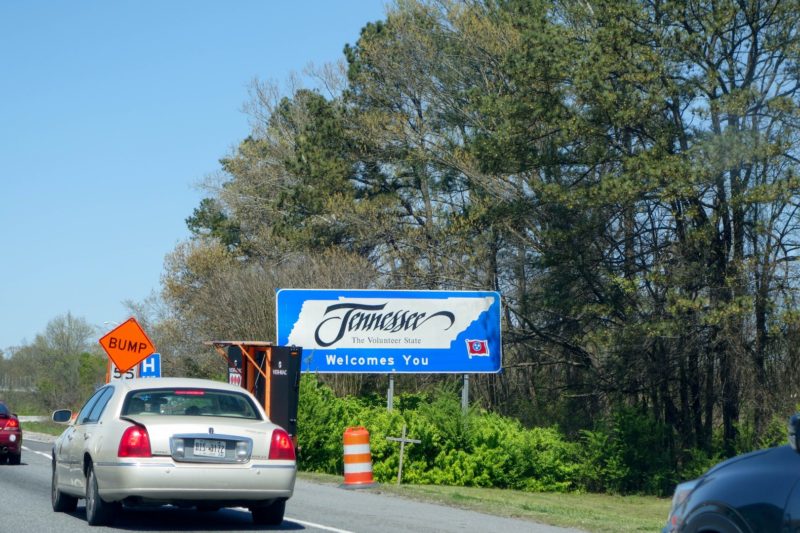
The most direct route also took us a bit north, into Tennessee.
Unfortunately, we hit a bit of traffic and I may have started freaking out a bit, worried that we’d miss our ticket time and they wouldn’t let us in. And no wonder things backed up! Seriously- who puts a sharp curve on the interstate like that?!
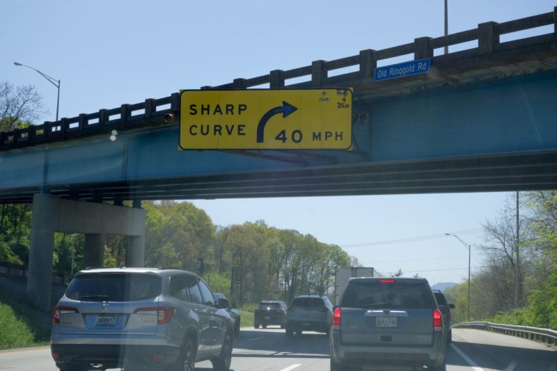
Ugh. I am NOT a fan of I-75. But we made it just on time and they let us in. This was probably my least favorite stop: it was pretty, but essentially just a commercialized hike.
Matt said it felt unfinished- like they started with a theme, but kinda gave up.


The path wound around the natural stone formations, some areas got a bit tight:


We fit!
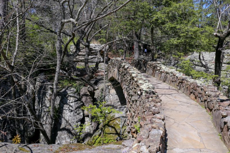
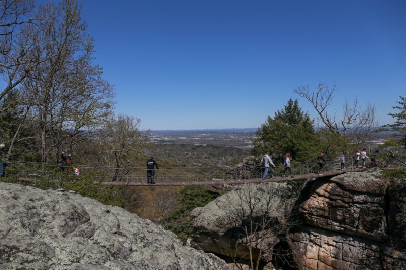
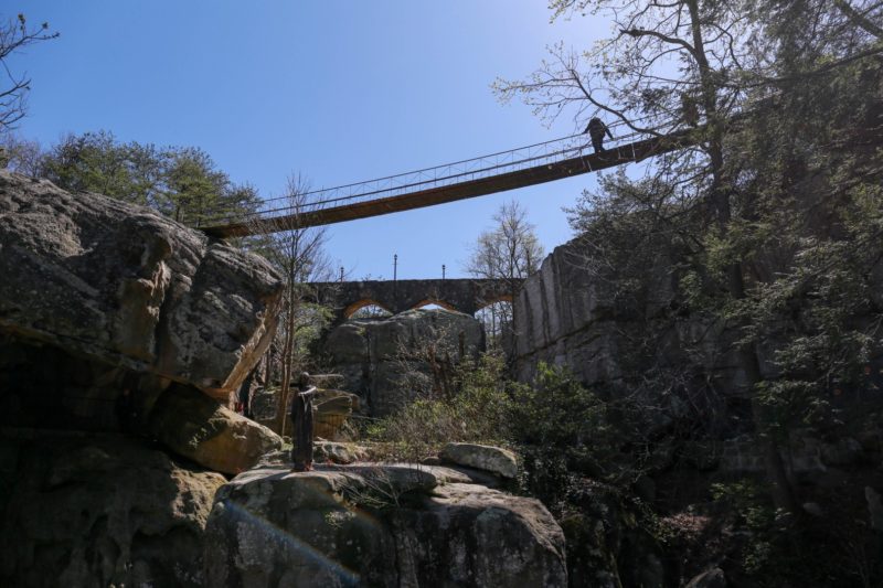
Then we come across a split in the trail, one going to this cool stone bridge (which we took):
the other going to this rope bridge (which almost everyone else chose- the line was quite long)
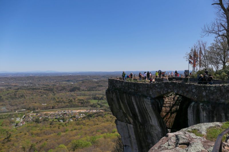
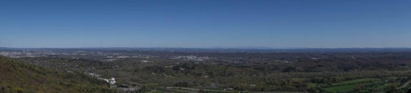
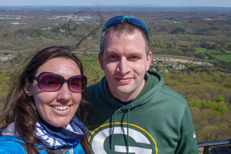
“Lover’s Leap”, a cool overlook from which you can see 7 states (on a good day)
These 7 states, to be precise:
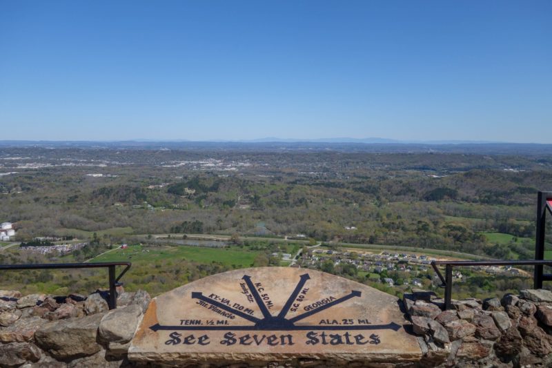
Theoretically, seven states might be out there
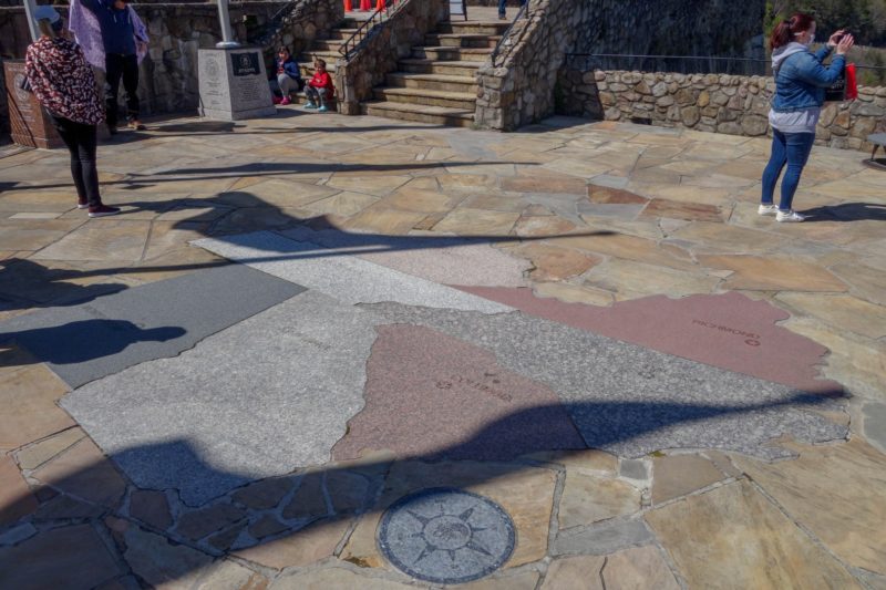
There was also this cool map on the ground:
It was a little windy up here 🙂
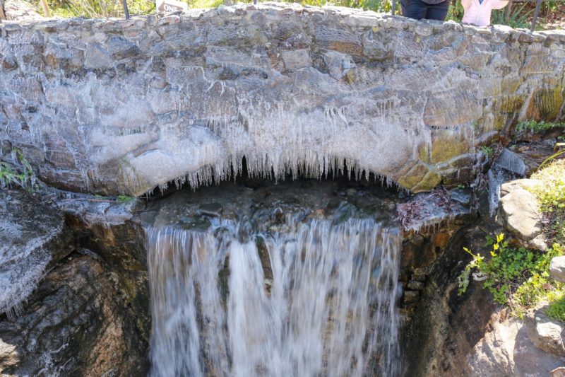
There was a cool, semi-frozen waterfall:
And a preview of the second half of the trail:
Further down the path we came across “Fat Man’s Squeeze”, which was even more narrow than the earlier passage.


We fit! (again!)
I wasn’t entirely comfortable walking under this giant balancing rock
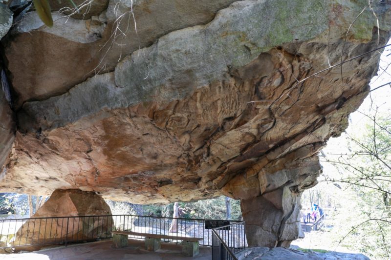
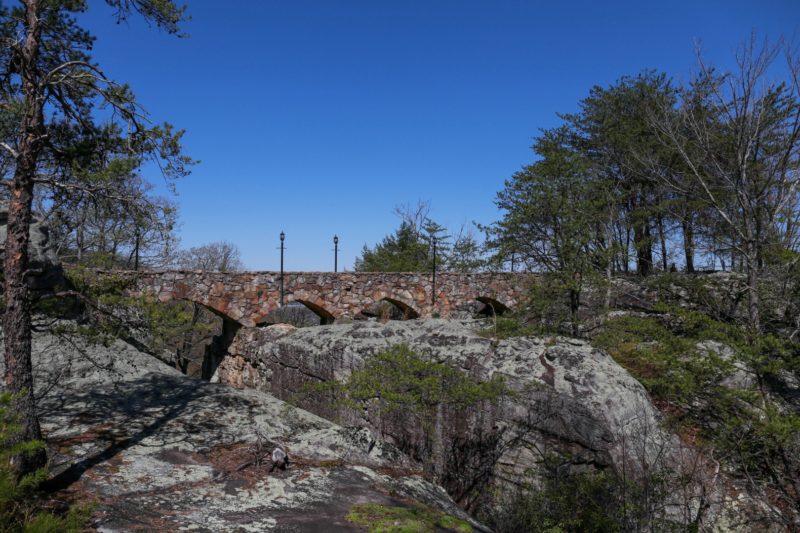
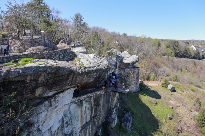
A view of the bridges from below:
A rainbowed corridor led to a great view of the waterfall and overlook:


I’m pretty sure this next part is where nightmares come from…
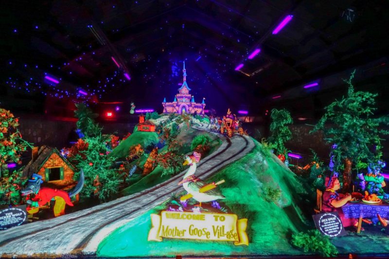
It was well done with UV lighting…
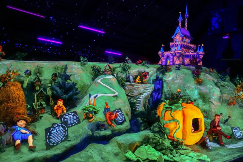
…but seriously, look at that face!


Creepy.
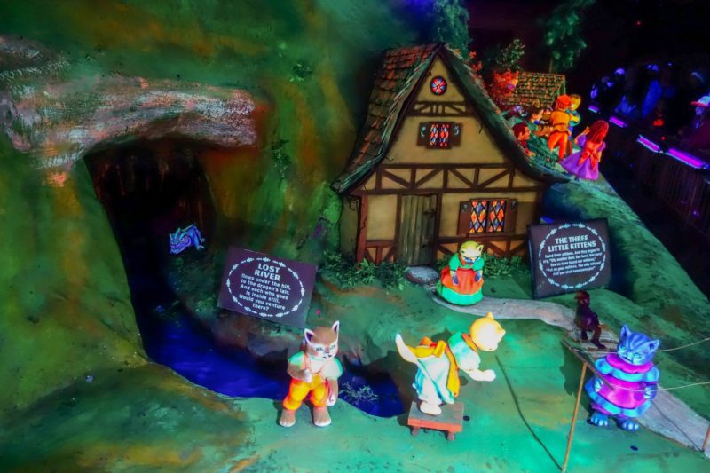
Matt took some videos- if he uploads them, I’ll add them here- you really have to see it in action to appreciate the true horror.
After a long day of hiking, we decided to try out some southern fast food:
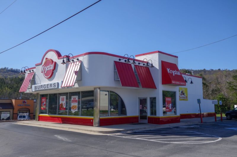
Krystal sliders: small burgers, like White Castle, but with mustard in addition to the pickles and onions. Greasy but surprisingly filling, and neither of us got sick, so, win?