28 Jan 2026
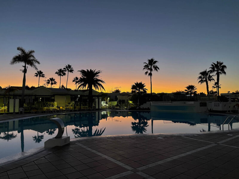
Good morning from Maspalomas!
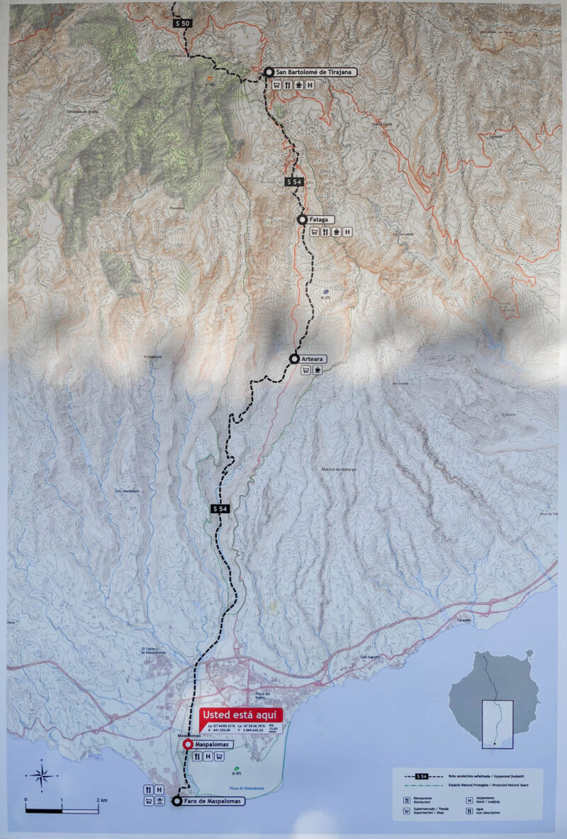
I’ve heard the sunrise over the dunes is pretty spectacular, but today’s hike will be about 15 miles, which will be my longest hike yet, and is projected to be around 8 hours- I don’t really want to add a few extra miles onto that, even if the path would be nice and flat.
So as soon as there was enough light, I set out:
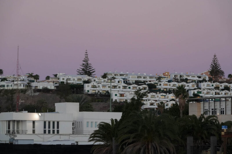
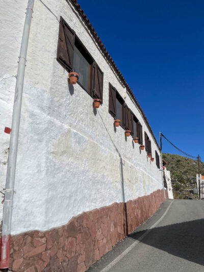
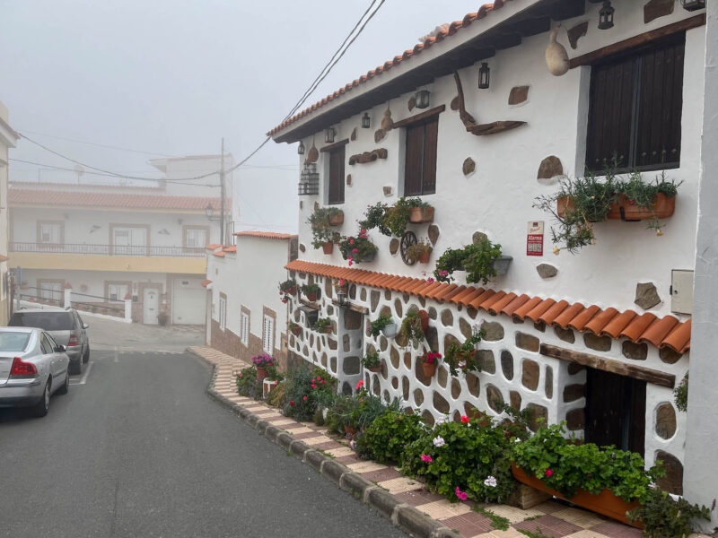
Love all the white houses here!
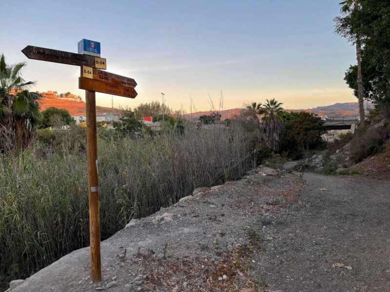
Trail out of town:
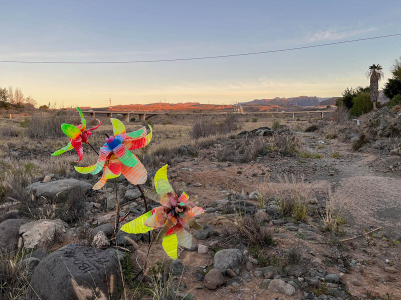
Trash flowers:
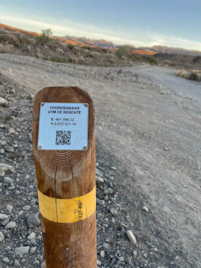
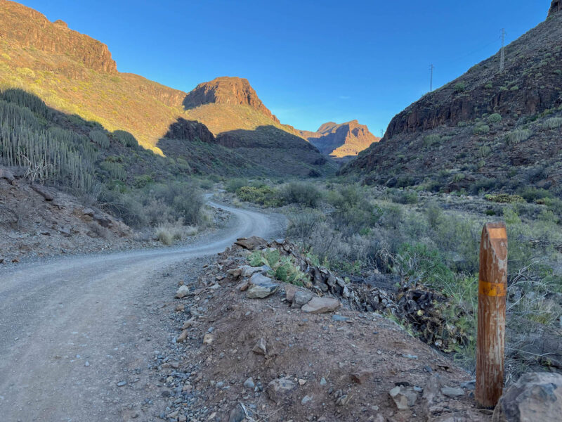
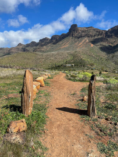
These yellow-banded posts mark the path- the fact that they include rescue coordinates doesn’t give me the greatest feeling, but if you need help, that is a great way to pinpoint your location (provided you’re close enough to a post):
Yellow arrows also mark the way:
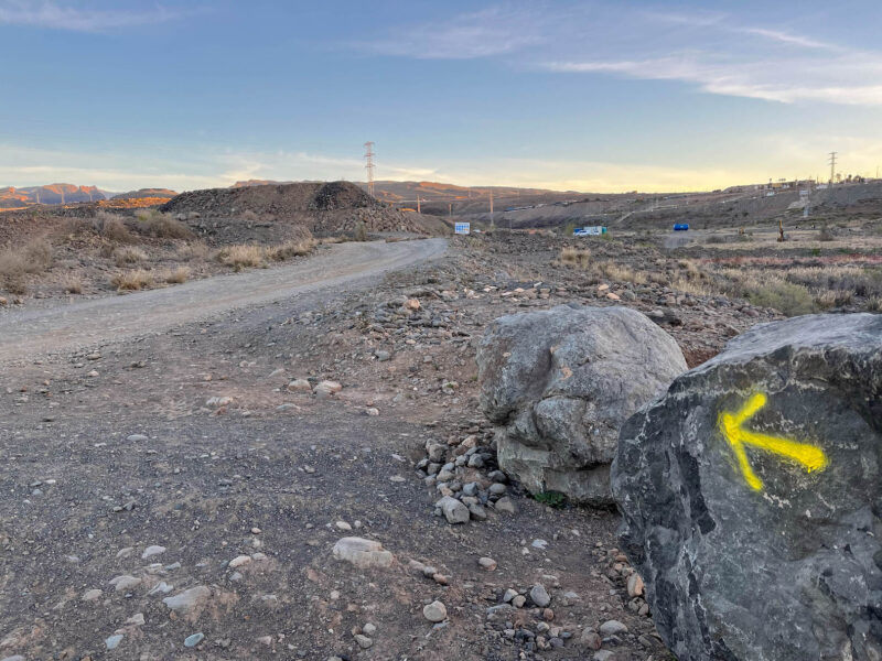
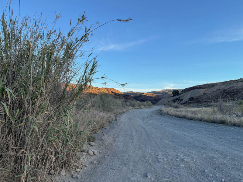
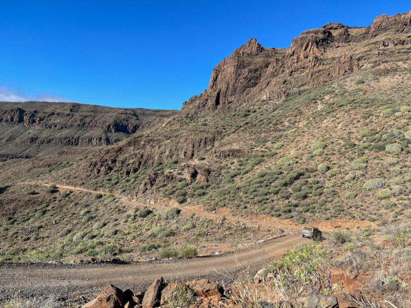
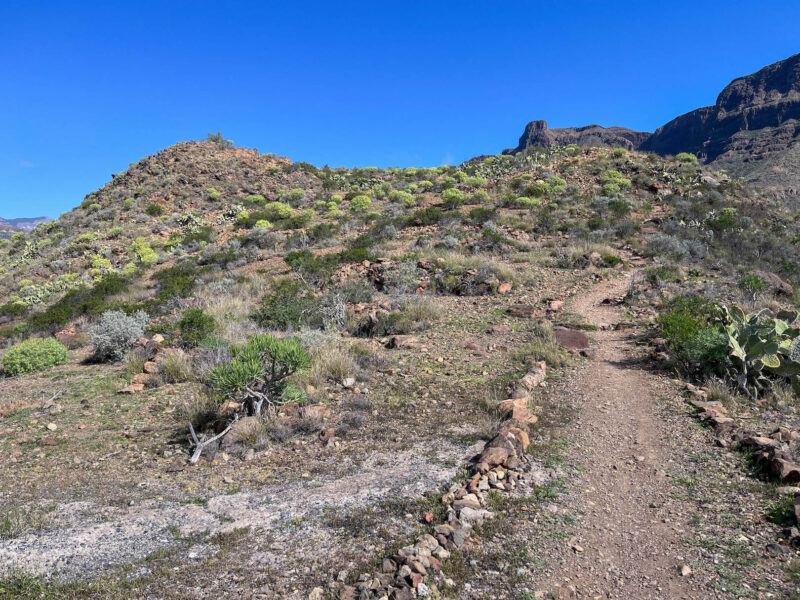
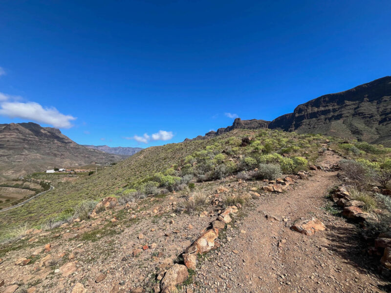
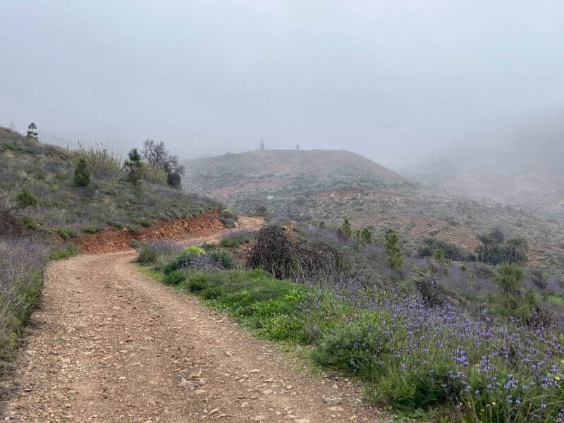
The trail started out following this gravelly dirt road:
Strange dried up area:
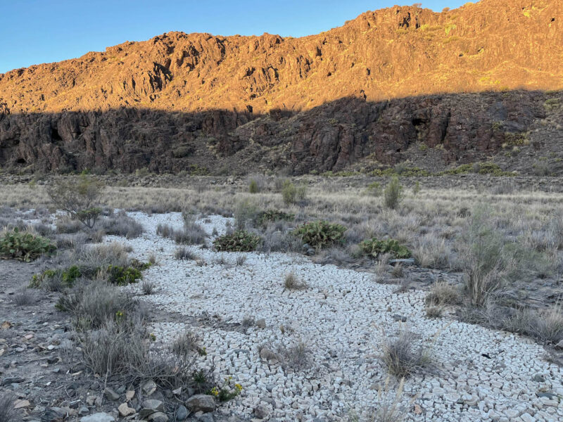
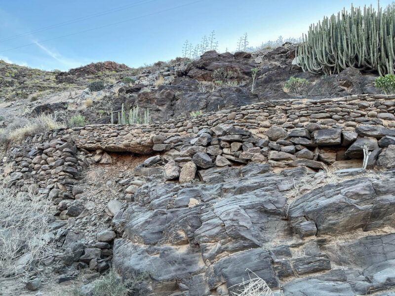
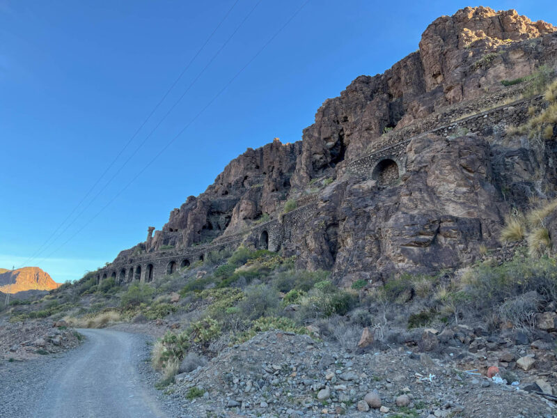
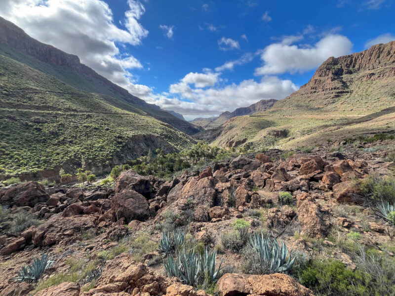
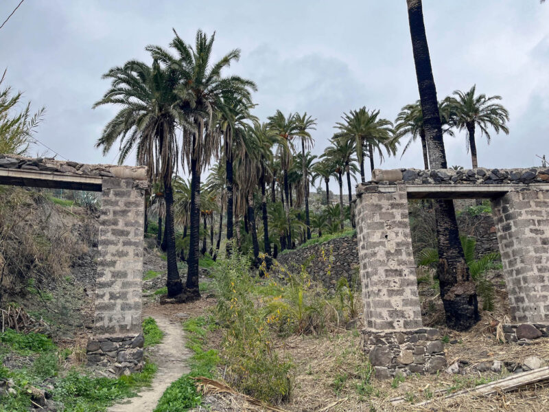
As it cut through the valley, you could see remnants of the the old aqueducts:

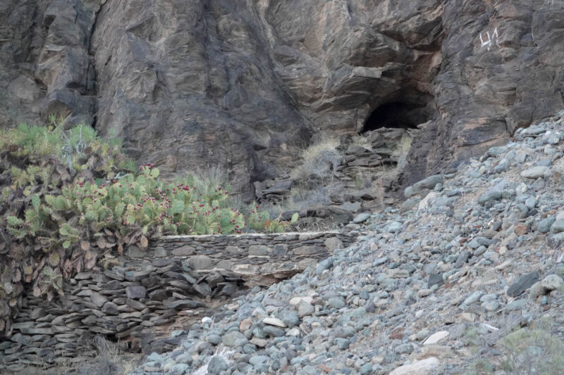
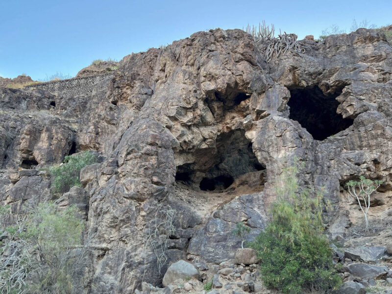
and caves:
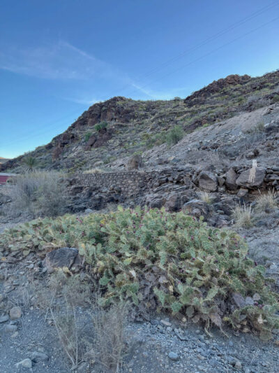
Cacti, ruins and blue skies:
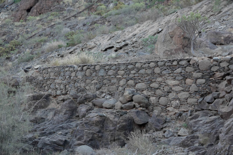
look at that stonework!
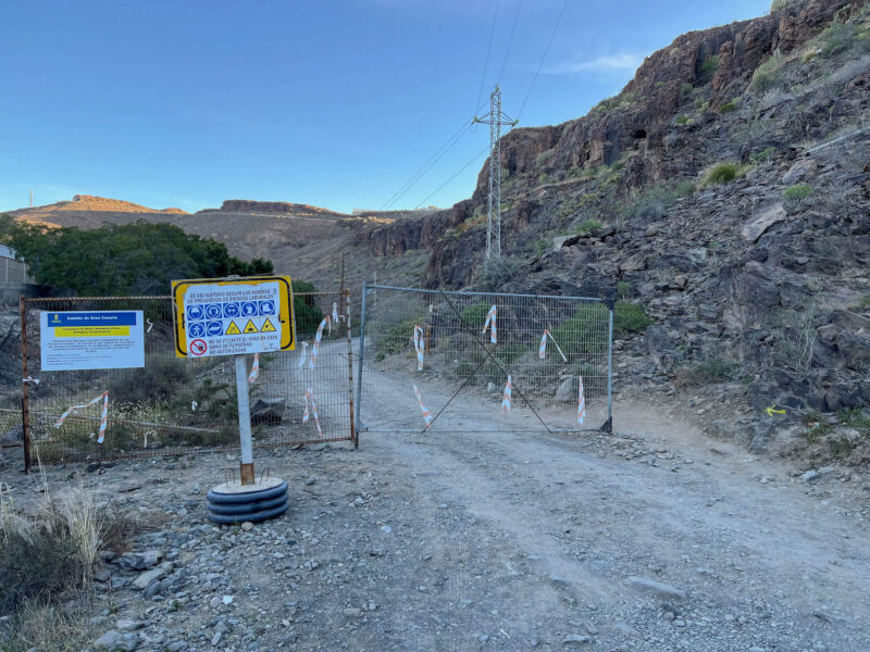
I know it looks like you shouldn’t go here, but the gate is mostly to keep cars out. There’s even a little yellow arrow marking the pedestrian path:
More caves:
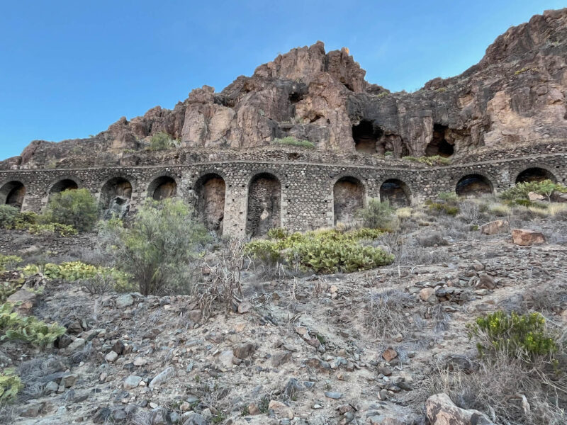
More aqueducts:
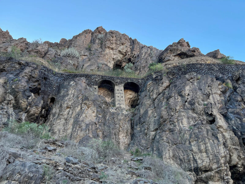
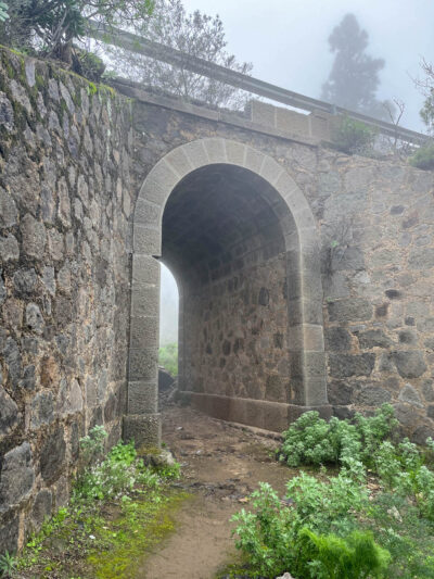
Look at that arch!

These aqueducts still carry water today:
Seeing these “ruins” was the part of today’s hike I was most looking forward to:
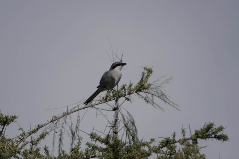
Plus, I spotted a couple birds!
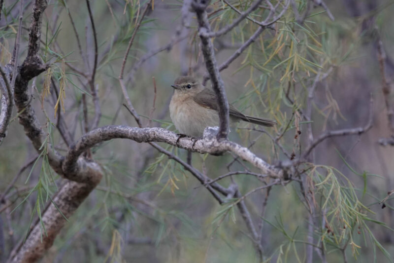
Absolutely worth lugging my 2.5# camera along on this hike:
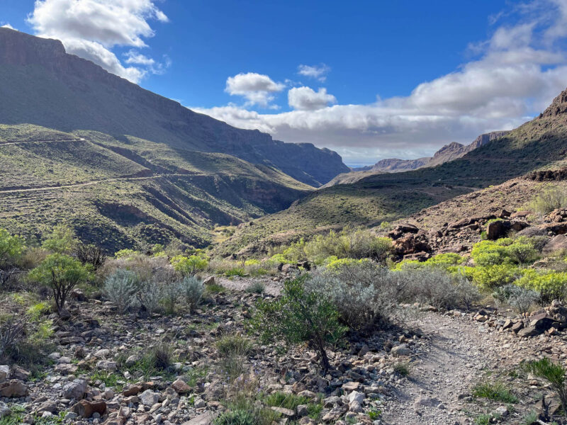
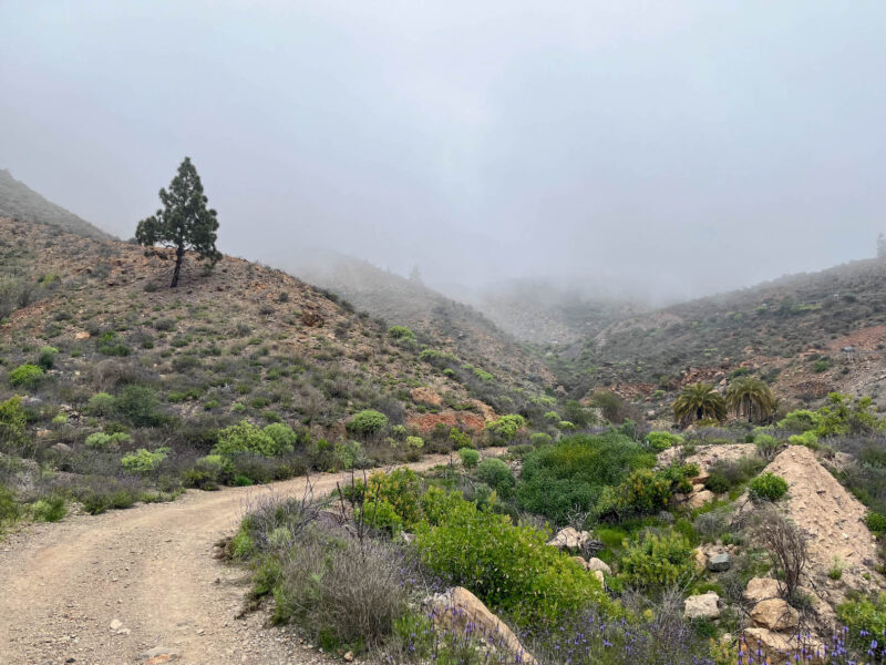
After this, the trail will start to wind its way up and out of this valley:
It was actually quite cool at times, especially when the wind was whipping through
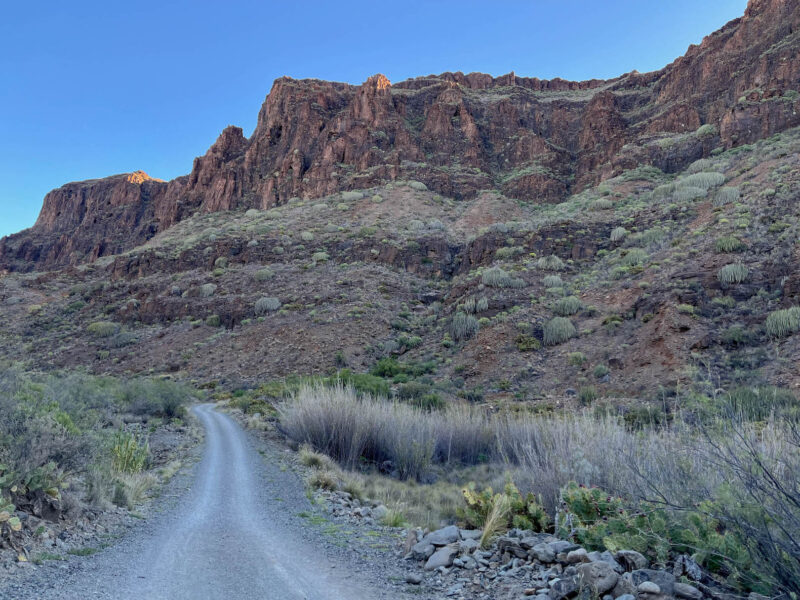
but my trail is going to start climbing soon:
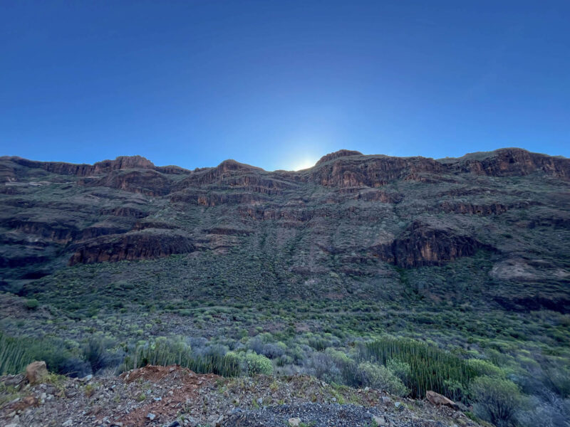
but I know I’ll miss that when the sun finally crests the ridge:
A runner!

I had this trail to myself for the first couple hours, but by about 0930, other hikers and bikers and runners joined me. A truck even rumbled its way down!
Definitely warmer now that the sun is out- it was about 60ºF/15.5ºC when I left, it’ll get up to about 70ºF/21ºC, though since I’m heading up into the mountains, it’ll be a bit cooler

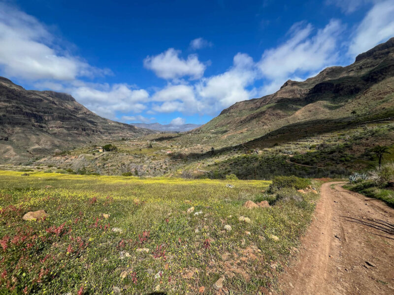
But its hard to complain when this is my view- look at those colors!

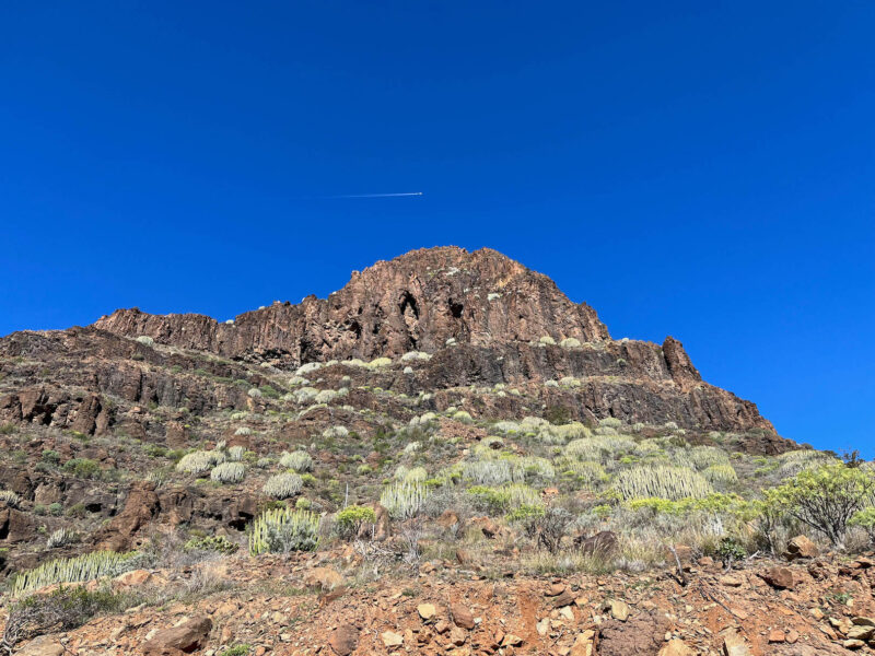
Plane!

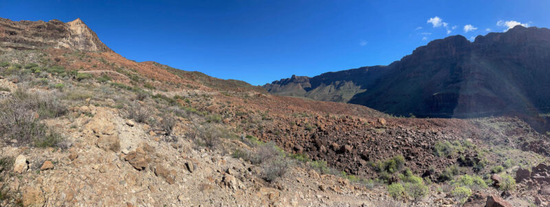
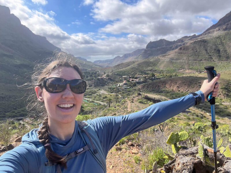
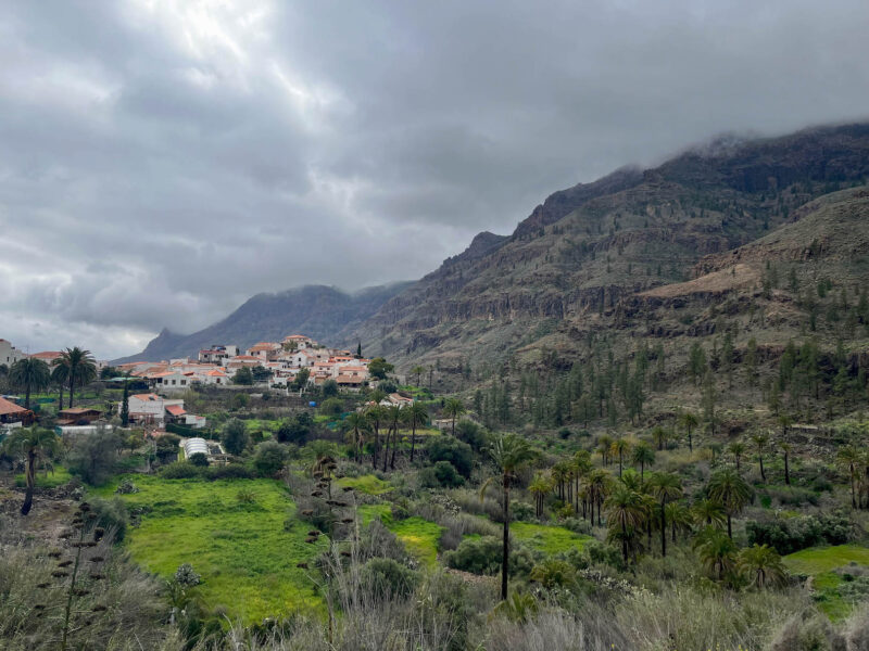
The valley I came from:
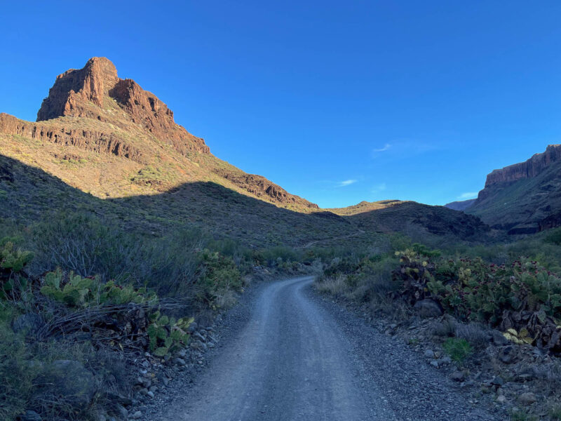
The mountain I climbed:
Unfortunately, this part of the trail descended a bit, through an old burial site:
Farewell, mountain #1:

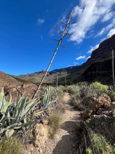
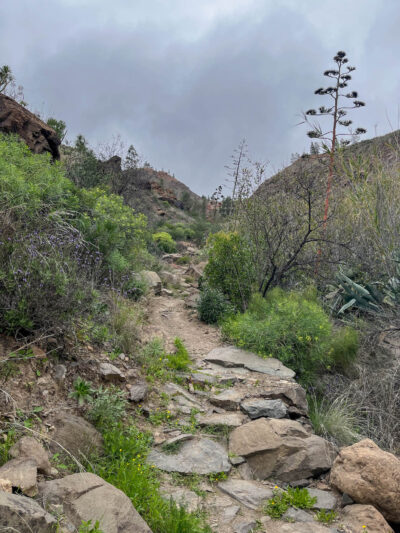
Agave-lined path:
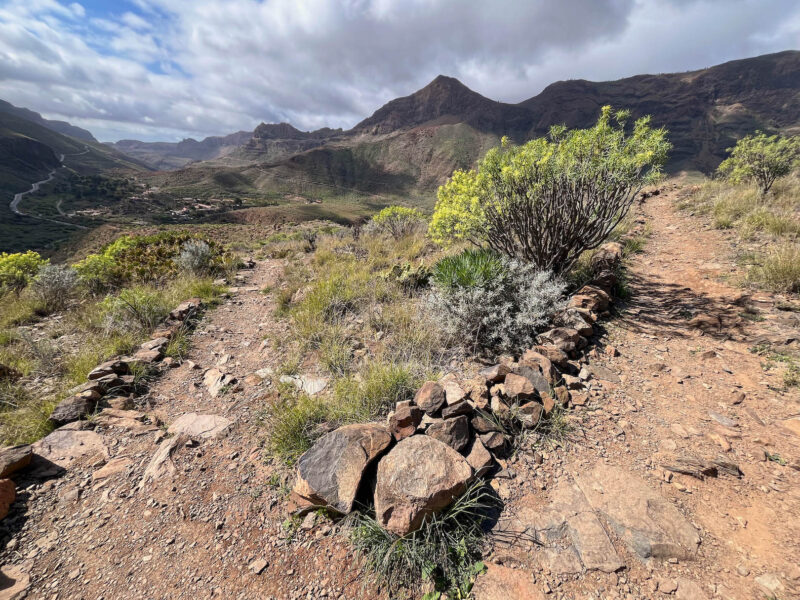
I’ve been hiking for about 4 hours now and am officially about halfway (though this second half will have WAY more uphills than the first):
(click to embiggen)
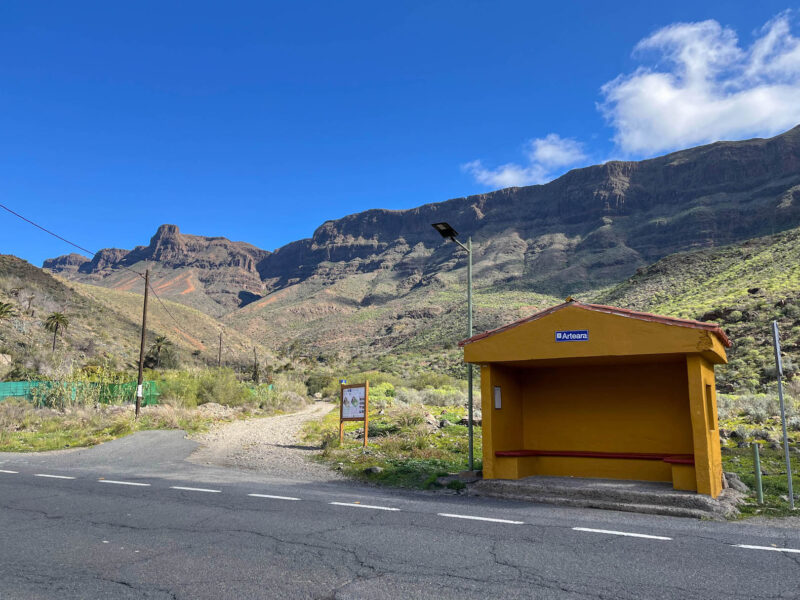
White-clad building in Arteara:
This is one of my bail-out points: since this is going to be my longest hike yet, and I did absolutely no training for it, I made sure to identify points along the way I could use to, in this case, catch a bus and just ride to my next town:
But I’m feeling pretty good so far, so onward and upward!
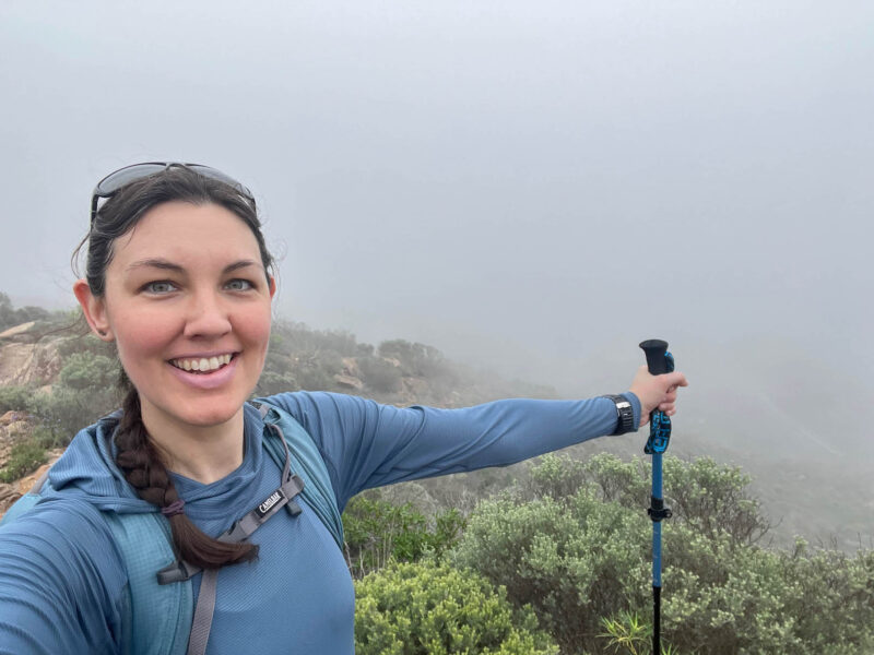
I’m on top of the world!
Where I came from:
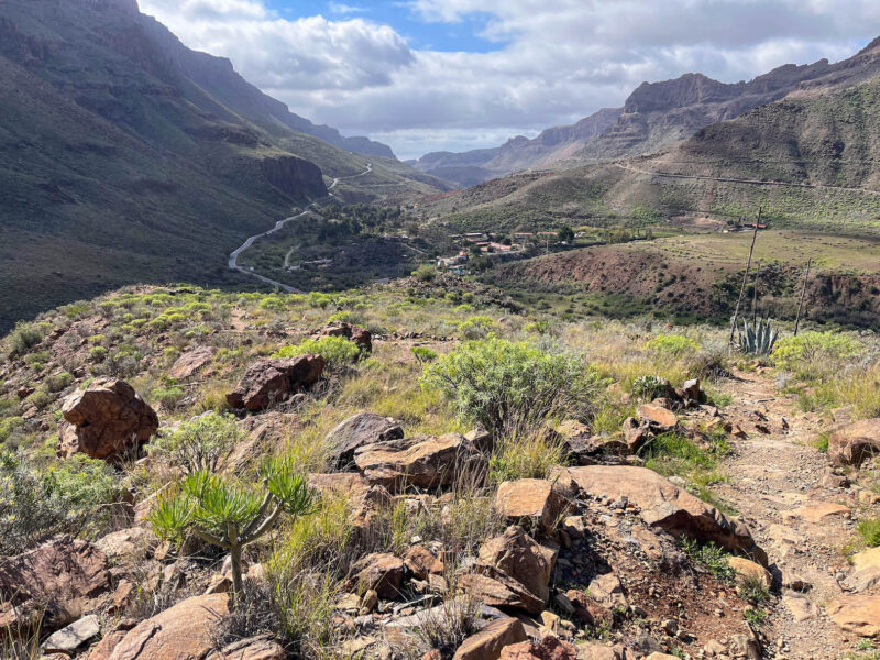
Where I’m going:
This uphill felt like it would never end!
I had picked up a couple chocolate bars for Matt and I to try, but I needed a little pick-me-up, so I busted into this peanut butter Snickers, figuring I’d be able to find a replacement later (or just eat one portion of this bar):
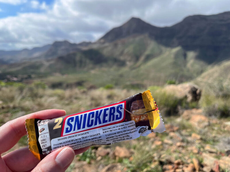
(spoiler: I ended up eating the whole thing and never did find this flavor again, should have had the KitKat instead)
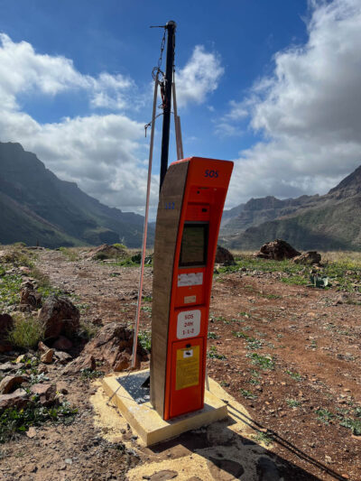
Not sure how I feel about this remote SOS box, but I guess if you need it, I’m glad they have stations like this available:
A bit of a descent into the next valley:
I found a friend!
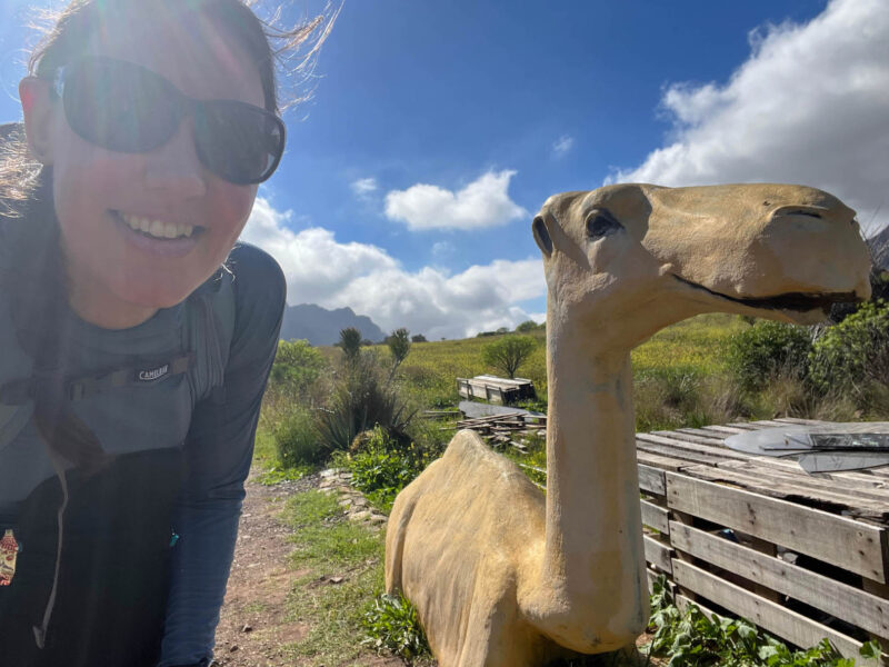
There were a few camel safaris on my map (though I didn’t see any live camels) so apparently that’s a thing here.
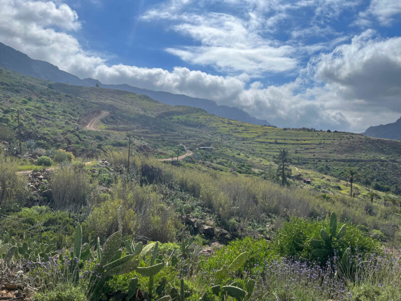
I liked this portion of path- some ups, some downs, but at a more gradual angle:
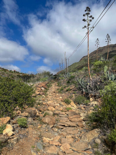
This portion? Straight up:
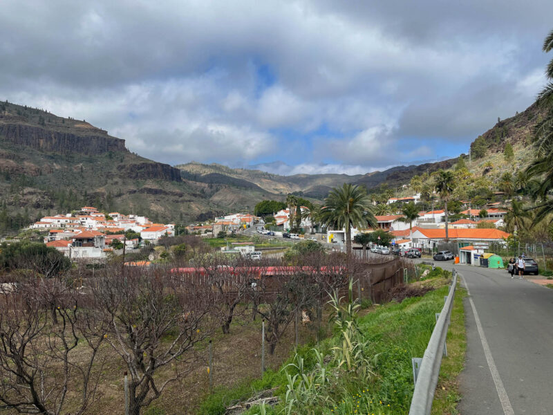
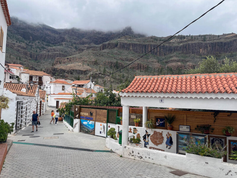
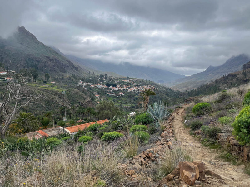
But I finally made it to my next town, Fataga:
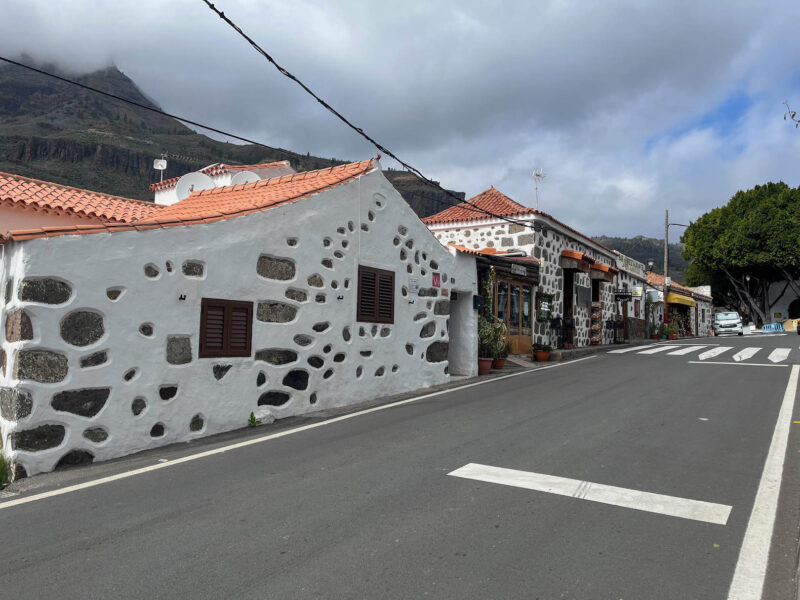
More cute buildings:
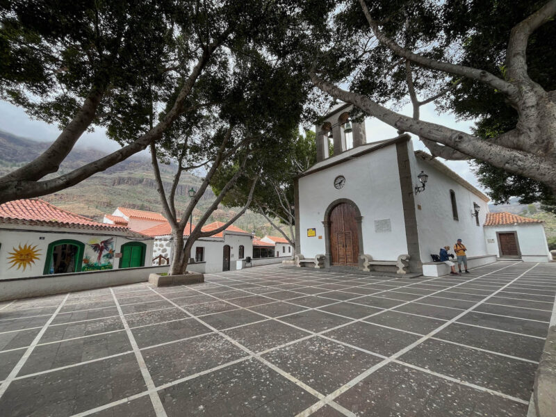
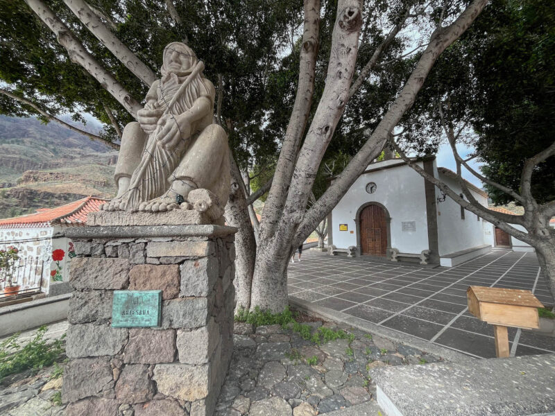
A church with a nice shaded courtyard:
Statue of Artesana- couldn’t find much about this online:
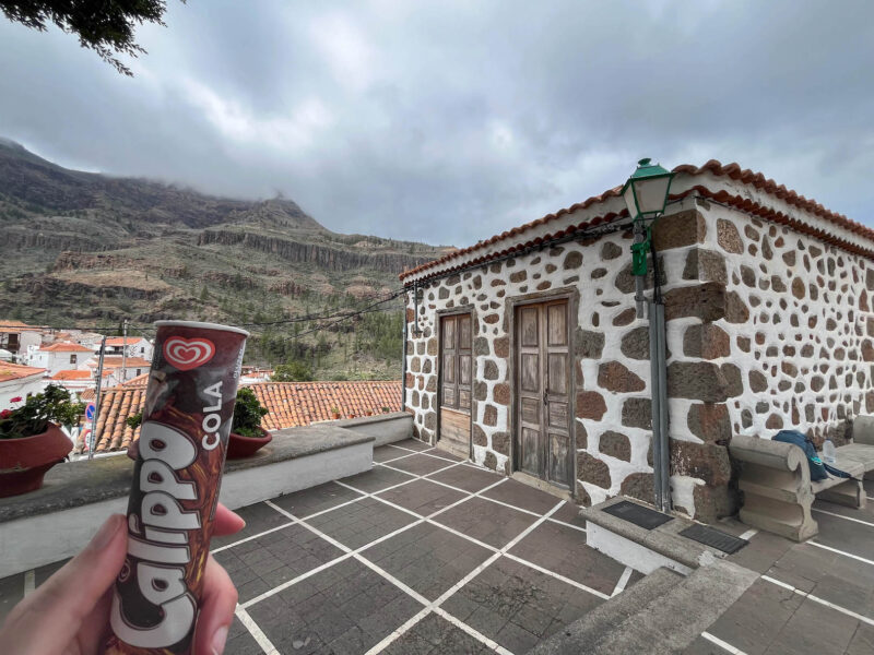
But most importantly, this town had a store, where I restocked on water (I drank through the 1.5L I was carrying) and found a refreshing snack:
I poked around down a few of the streets:
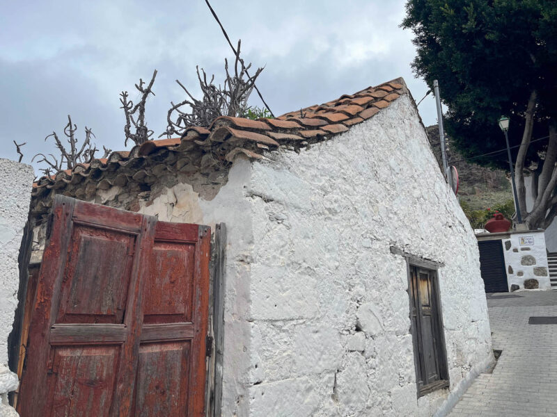
Not sure trees are supposed to be growing from roofs…
And while it was nice to sit and take a bit of a break, I didn’t linger too long as the sky was clouding up and I know there’s rain in the forecast for later today, so farewell, Fataga:
Looks like a fire came through here at some point:
Hello, inclines!
One last look at the valley before it’s enveloped in fog:
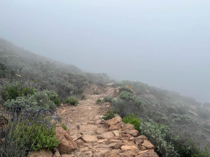
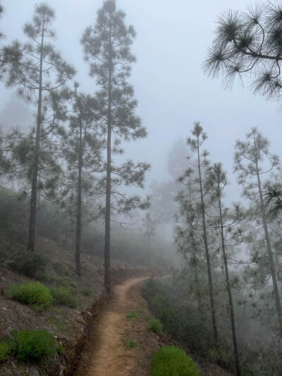
Hiking up into the clouds:
and up:
and up:

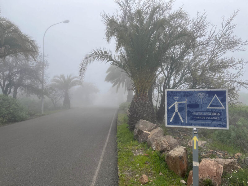
My path crisscrossed with the road for this stretch.
I’m on top of the world!
(not really, still have a lot of ups to do)
I should have shot this as a video, but you could see the clouds drifting across the trail:
Finally, I entered into a forest:
crossed under the road:
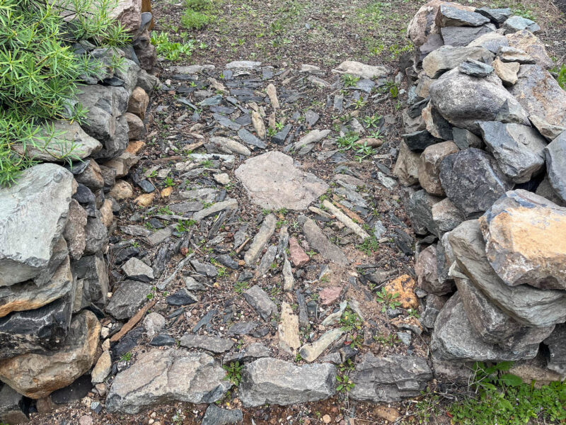
(found a cool trail marker)
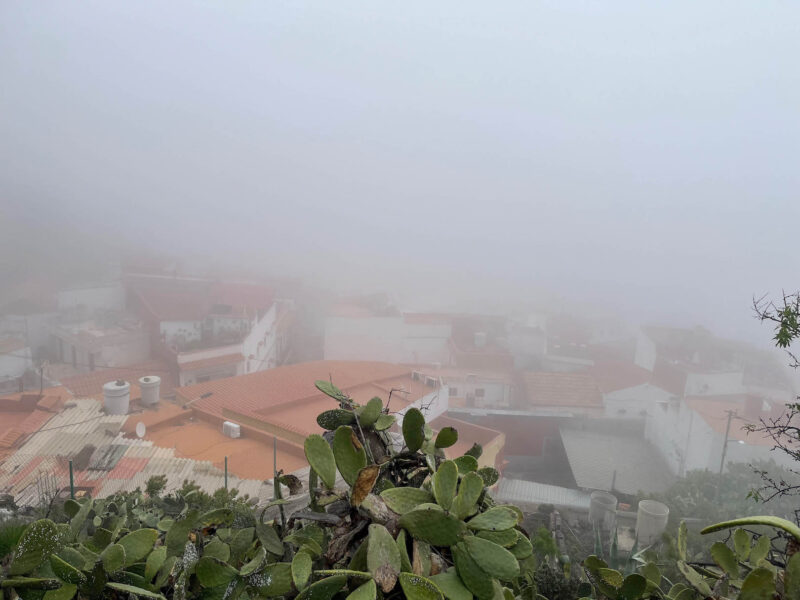
and made it to the outskirts of the town I’ll be staying in:
Unfortunately, you can’t really see it through the mist:
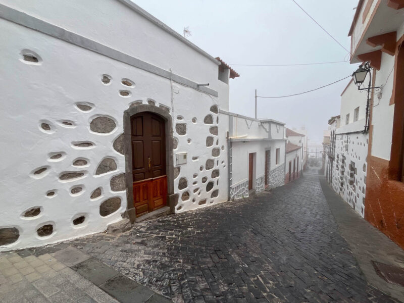
I was not expecting such a steep decent into town:
The camera never quite captures that:
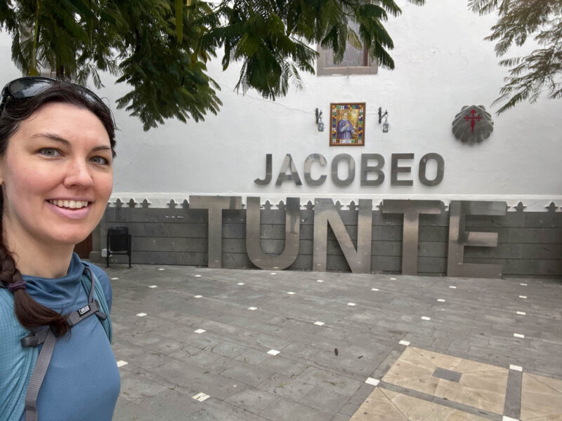
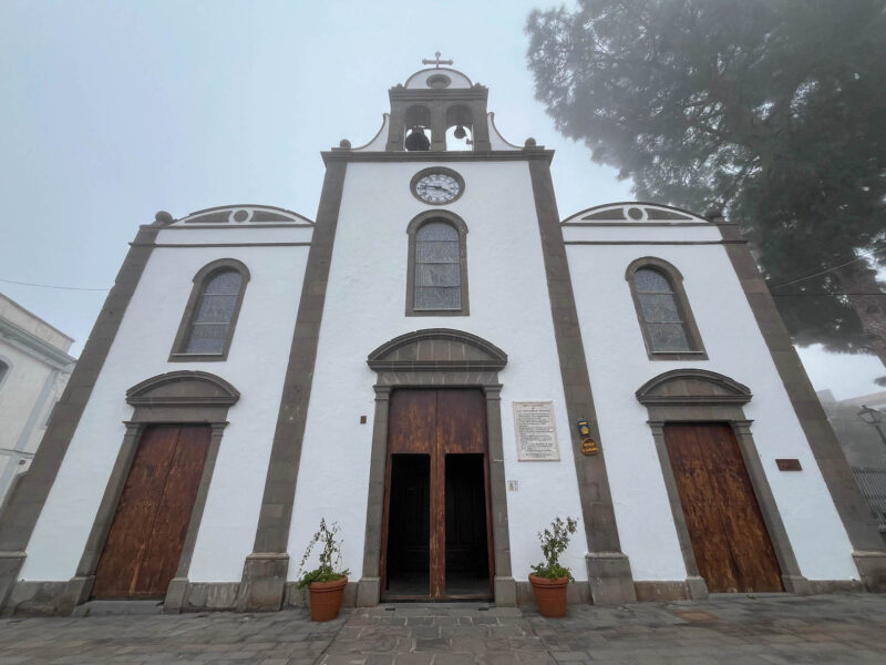
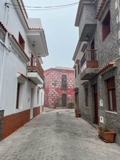
And just as the rain was starting to fall, I made it to Tunte!
San Bartolomé church:
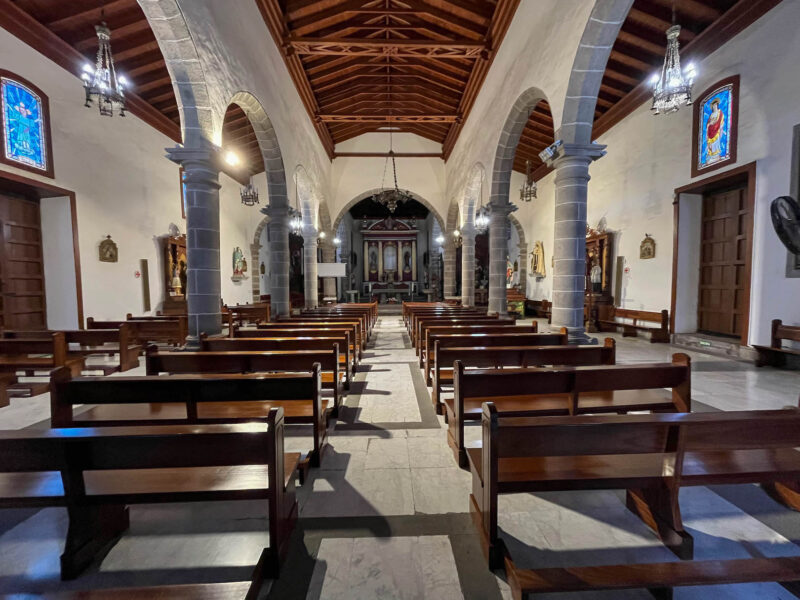
Inside:
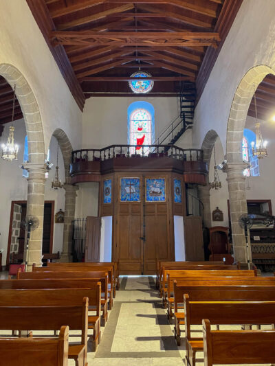
and the back:
but the stamps I’m collecting don’t actually come from the churches- you have to find the tourist information desk (which, fortunately, was just around the corner)
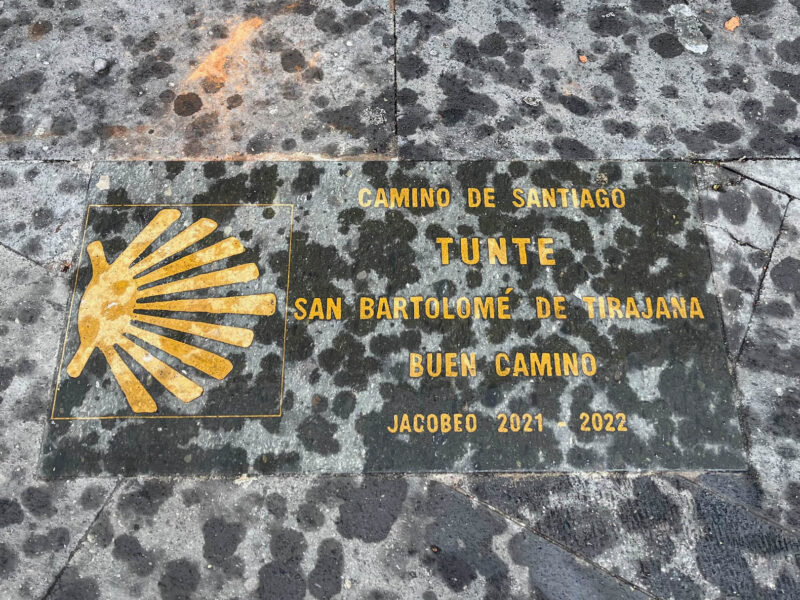
I forgot to take a picture with my new stamp, but I did find this fun sign:
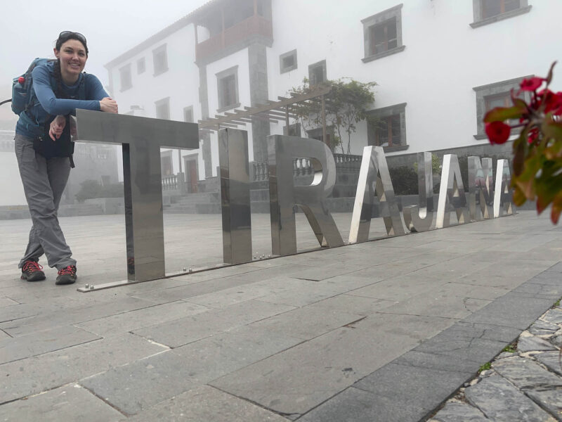
(this town’s name is technically San Bartolomé de Tirajana, not sure how it got shortened to Tunte)
(also, yes, that is a flower in the corner of this picture- I set my big camera in a flower pot and propped my phone against that to get this shot #solotravelproblems)
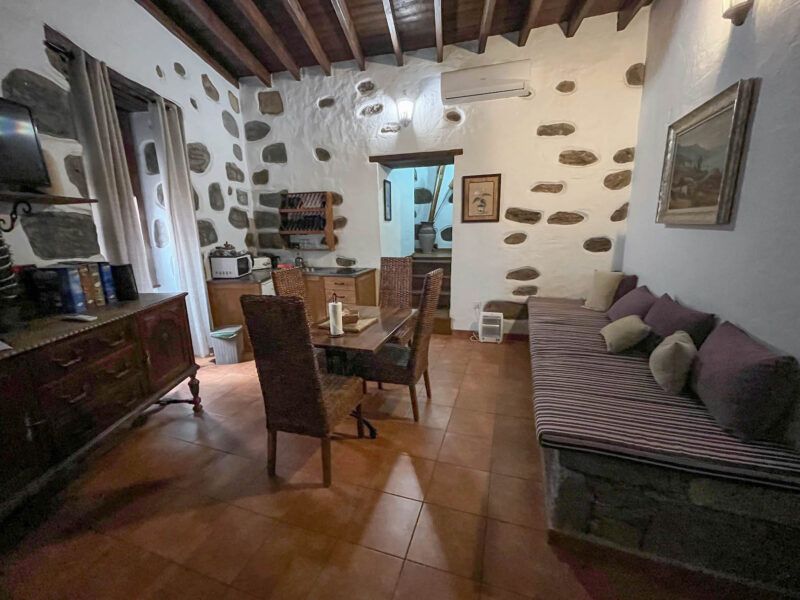
This red building is my home for the night:
Main area:
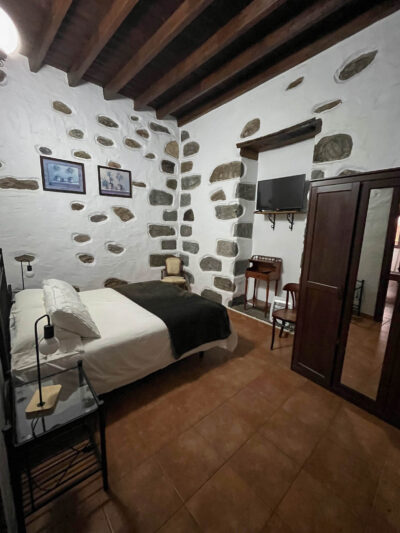
Bedroom #1 off to the right:
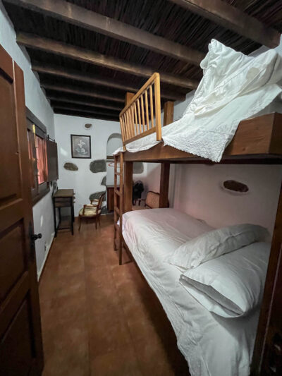
Upstairs is bedroom #2:
and the bathroom:

There’s also a little garden, but I couldn’t get my key to work, so I decided to just find food and call it a night.
Soup or potatoes- something warm and hearty- sound great. Unfortunately, that means going to an actual restaurant and I’m just not up for that. This was a solid 8 hours of hiking day- I just want to eat and go to bed, so I grabbed some pastries at the local cafe and brought them home:
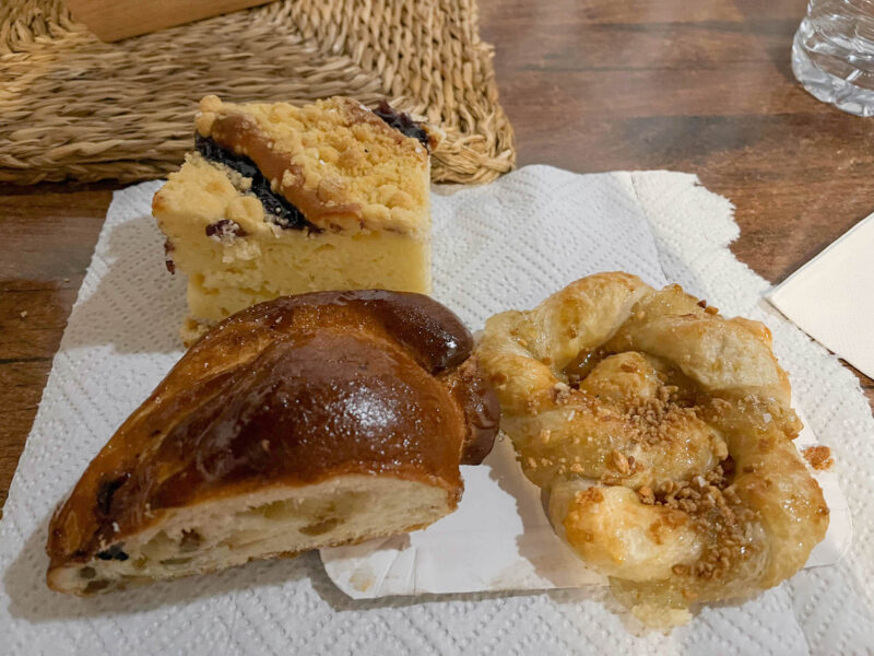
I finished off the brown guy- he was like a fluffy fruit cake (but in a good way) and the twisty one, which was filled with some sort of citrusy marmalade. I saved the cake for breakfast tomorrow.
I think I set a new steps record (Sat/Sun are my usual work-weekend steps):

I was ready to call it an early night when the power went out! I messaged my apartment’s host, who was super-responsive and power was back on within about 10 minutes, which I was thankful for as the display I saw when I went for food said 48ºF/9ºC. It’s gonna be a cold night!
Total distance: 21.2 miles