6 August 2024
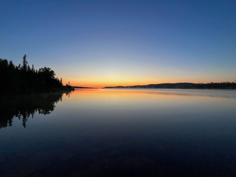
Today started bright and early- the morning sun shines directly into my shelter and while that means there’ll be no sleeping in (though rolling away from the sun was surprisingly effective), it did mean I was able to capture this morning glow over the still lake:
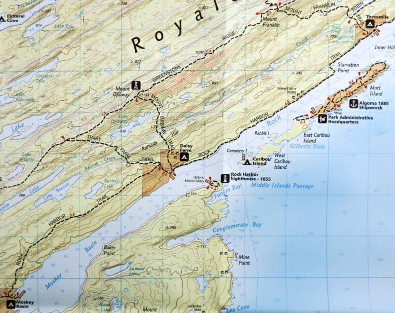
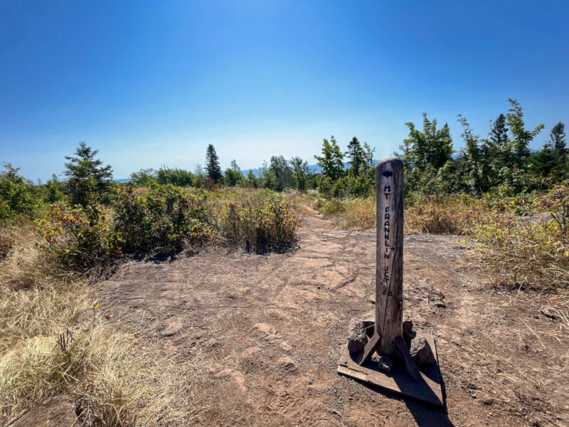
Probably a good day to get an early start, since I’ve got an ambitious day planned- Threemile is my ultimate destination, but I want to check out Mount Ojibway (and Mount Franklin, since I’ve hit most of the other high points on the island):
It wasn’t easy getting out of my warm quilt, but I know I’ll be missing the coolness of this morning’s hike when I’m up on the exposed bluffs of the Greenstone.
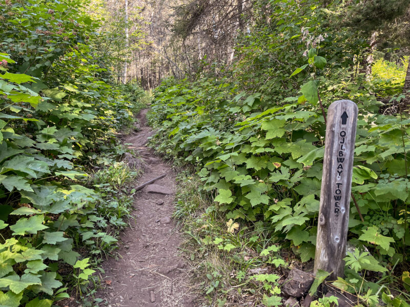
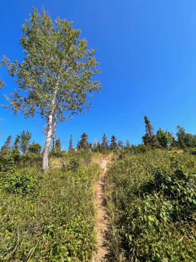
X-marks-the-trail or X = don’t go here?
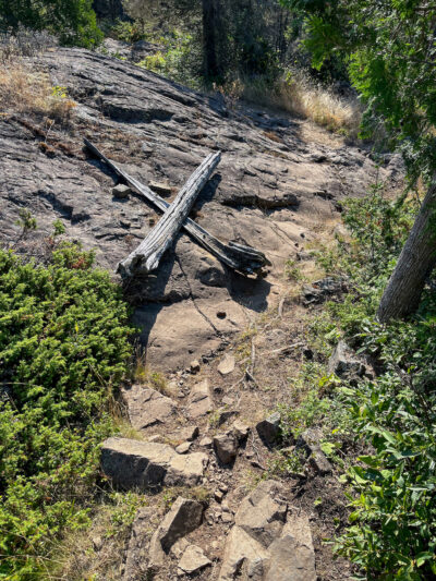
X-marks-the-trail. I was tempted to readjust the logs so they were more like arrows, but ultimately left them alone.
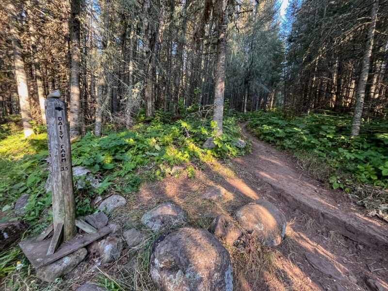
Daisy Farm was, as expected, crazy busy and while I debated refilling my bottles (I had finished off maybe 1/3 of my first liter), there were a ton of boats in the area and the easy-to-get-to water was kinda churned up, so I banked on my remaining water lasting and figured I’d make that my first chore when I got to camp.
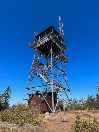
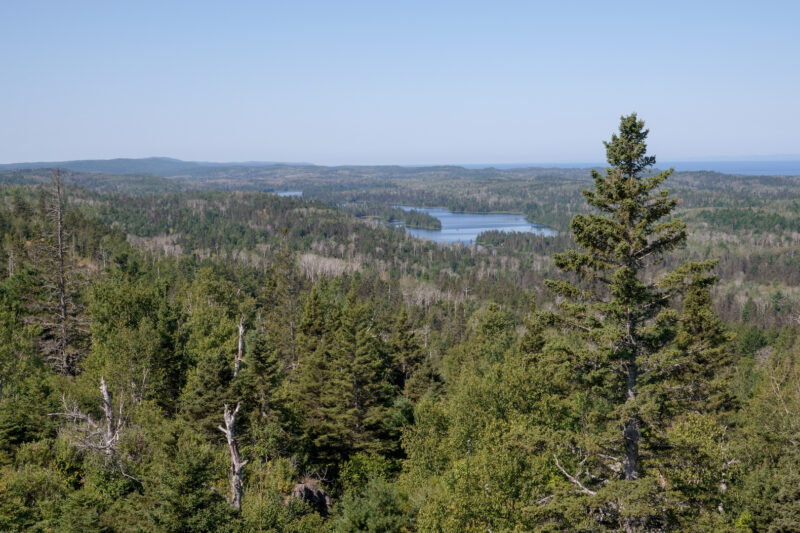
Ojibway Tower is just to the right of those tall trees on the left:
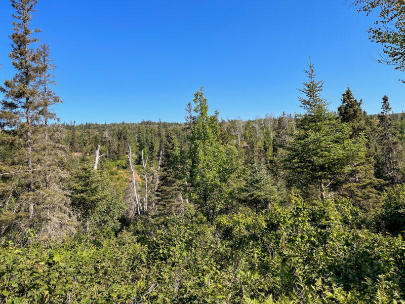
So far away!
A nice flat section after a long uphill:
I knew from looking at the topo map that there were 3 solid uphills- I thought this one was the last, but when I crested that hill:
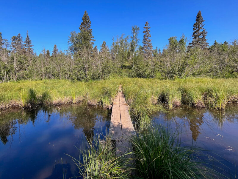
There was still one more climb ahead. One of my inclines must have flattened enough that I thought it was done. Bummer. However, guess who did not fall off this elevated boardwalk!?
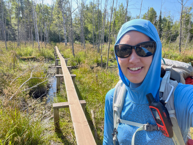
(this one was a solid 3-4′ over water, that would not have been a fun fall!)
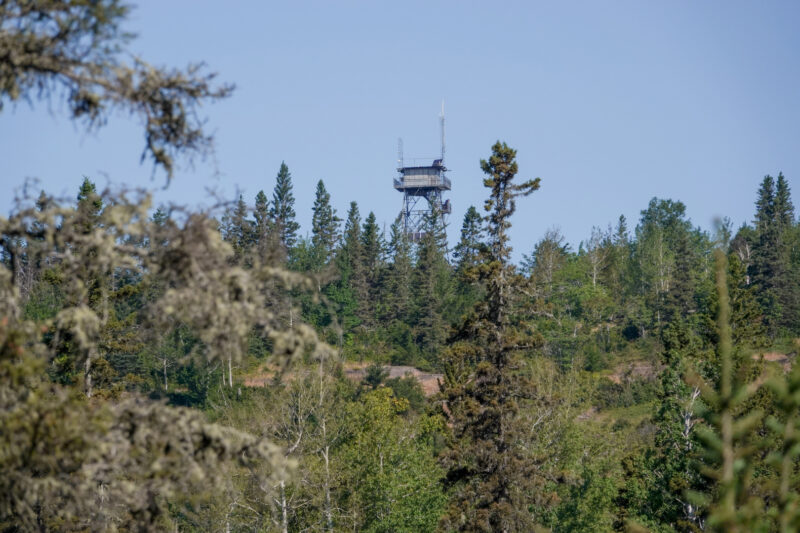
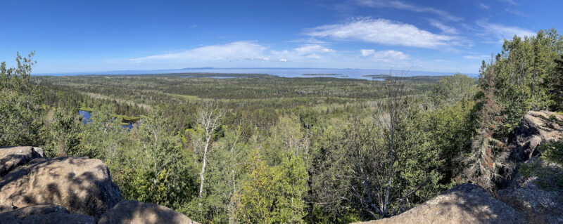
Finally, I crested the last uphill and the tower loomed into view:
I’m on top of the world!
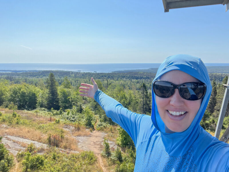
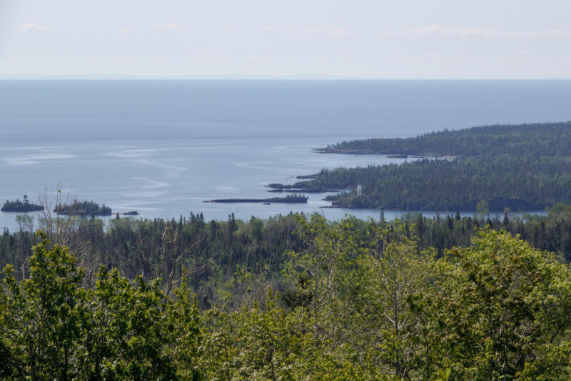
You can see for FOREVER up here!
There were a few other groups, so I stayed and chatted for a bit while eating lunch, then hit the trail:
Despite the heat (it’s in the mid-70s today), heading back up along the Greenstone was definitely the right choice- this view will never get old for me!
Looking back toward Daisy Farm- apparently there was a lighthouse across the bay?
Shoot, if I had realized that, I would have tried to get a better picture of it!
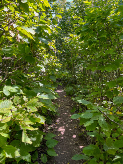
The trail heading to Mount Franklin was more overgrown than most- those bushes were well over my head!
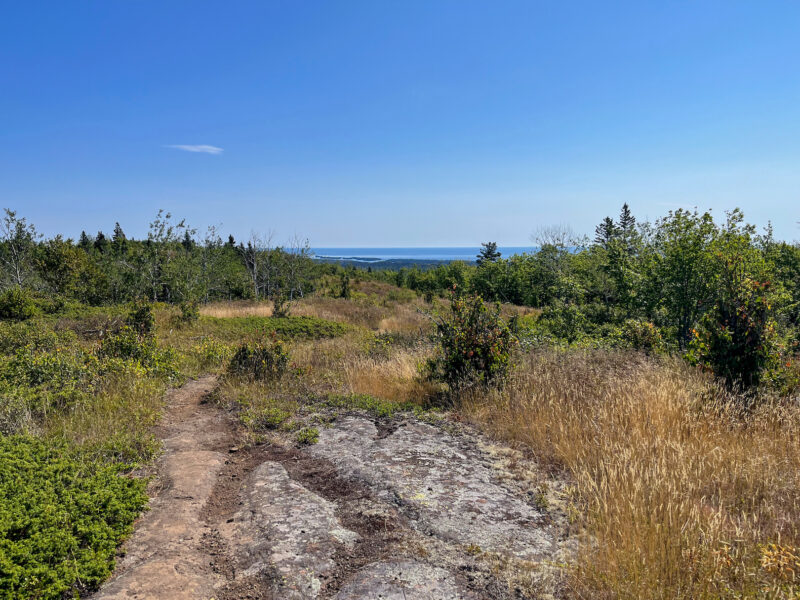
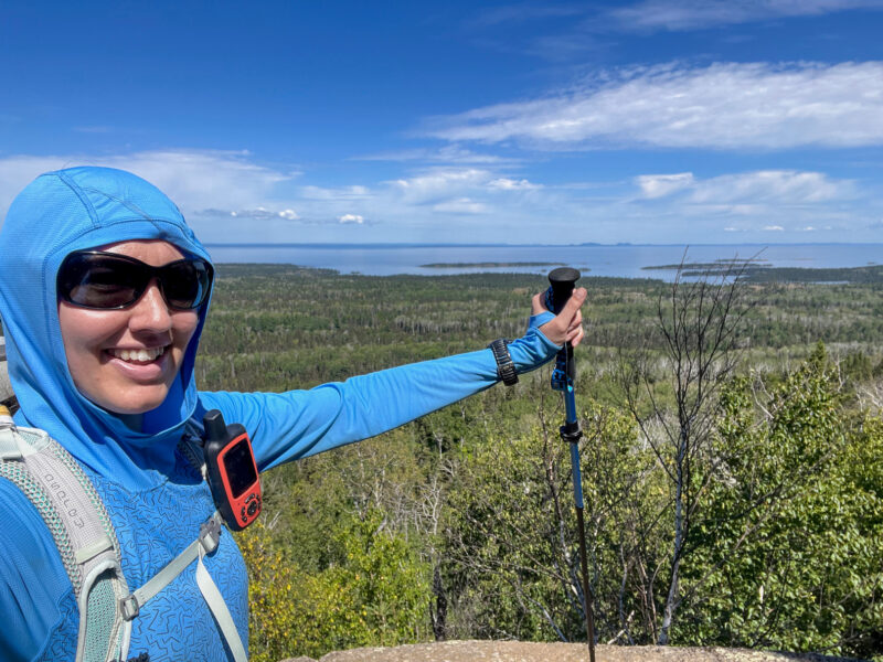
View from Mount Franklin:
I’m on top of the world!!!
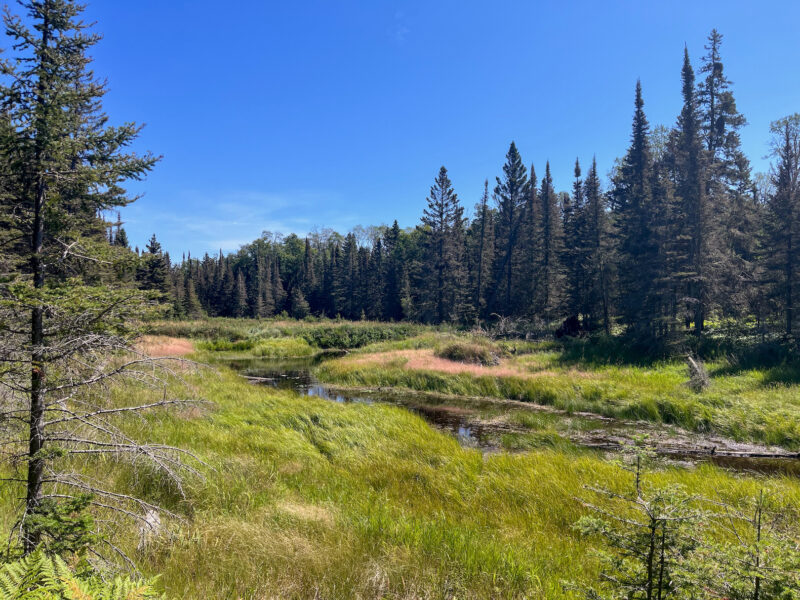
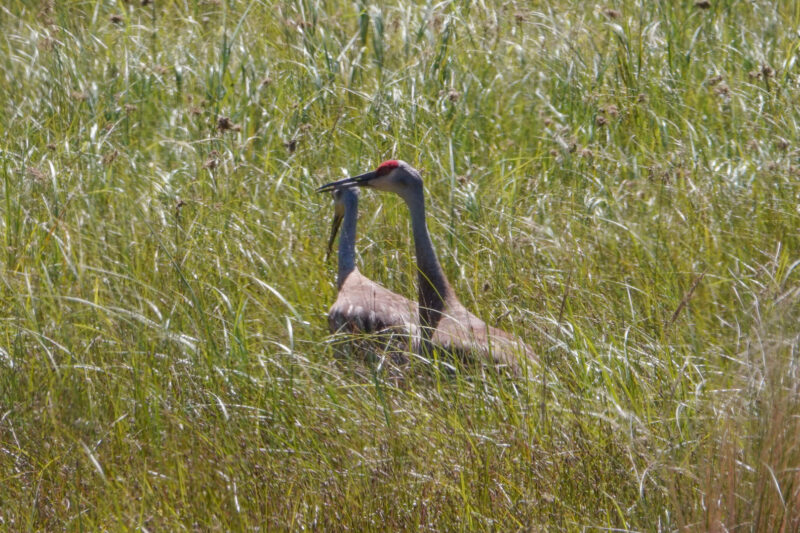
This field also seems like a great place for moose:
but the only wildlife I spotted was this pair of sandhill cranes:
Ugh, my least favorite road block- the go-under. My thighs are not a fan!
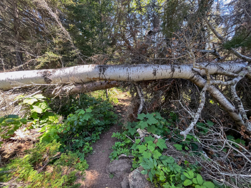
Minus the fallen tree, this portion of trail was quite scenic


(even if there were a few more uphills than I expected from looking at the topo map)
Made it to camp!
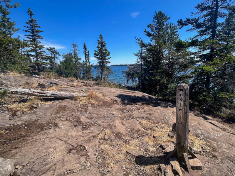
I knew as I got toward Rock Harbor that the sites would become more crowded- I made it to Threemile right around 1pm and hoped that would be early enough to snag a shelter.
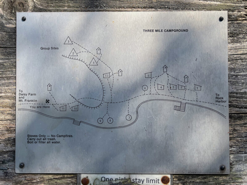
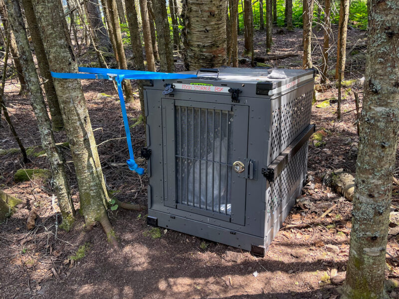
Otherwise my food has to go in the box:
Sites here are fairly spread out and there’s a one-way boardwalk between site 8 and 6- shelter 12 was open, but it was up in the woods, got no breeze and didn’t have easy access to water… but it is a shelter… I hurried down the length of the camp to check out the other shelters and didn’t find anything else open, so I rushed back to snag 12 before someone else did, then trekked back to the dock area to get water.
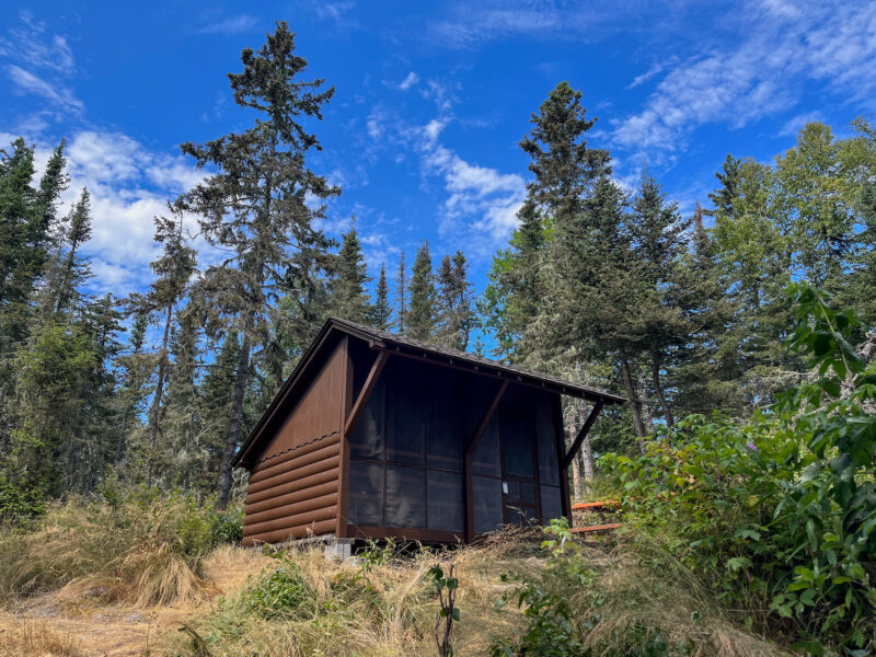
And realized I missed a cabin! Shelter 1 was set high up on a bluff:
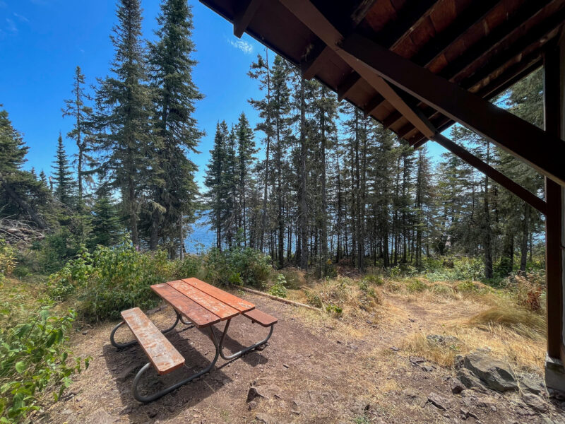
with a nice view of the lake:
so I sprinted back up to shelter 12, grabbed my permit, dashed back to claim this shelter instead, then ran back for my gear (my bag is getting lighter- I’ve eaten through 6 days worth of food and my water is currently low, so it’s easily at least 10 lbs lighter, but I’m still faster without it and I didn’t not want to miss out on this great shelter! even if it meant an extra trip back and forth).
As I was leaving with my pack, I overheard a couple other hikers hoping to find a shelter, so I gave them the good news that 12 was open!
After I refilled my water bottles, I settled into my new home and found this written on the floorboard:
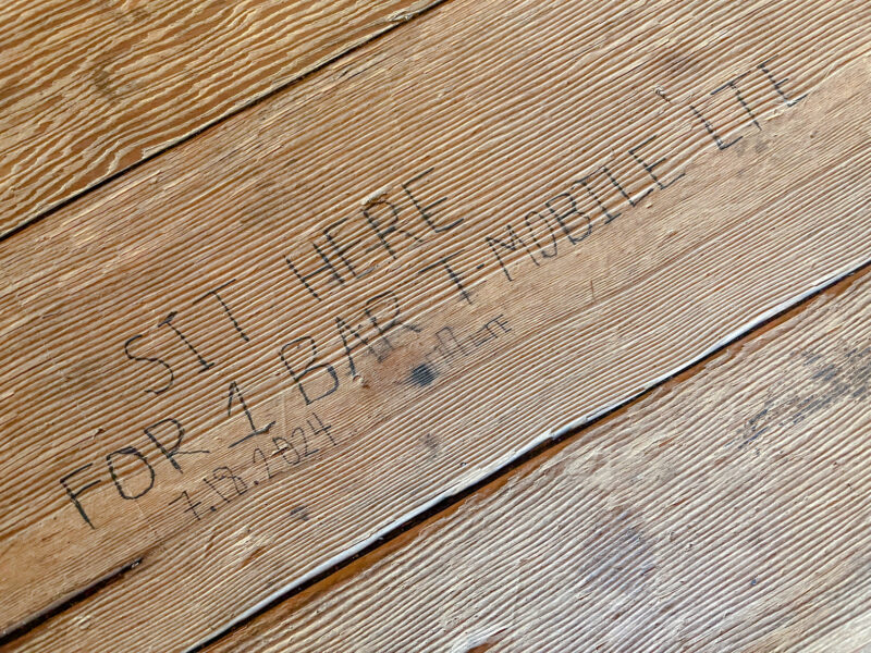
and sure enough- there’s cell service here!! I got 2 whole bars, which I used to say hi to Matt and look up what greenstone (chlorastrolite) looks like:
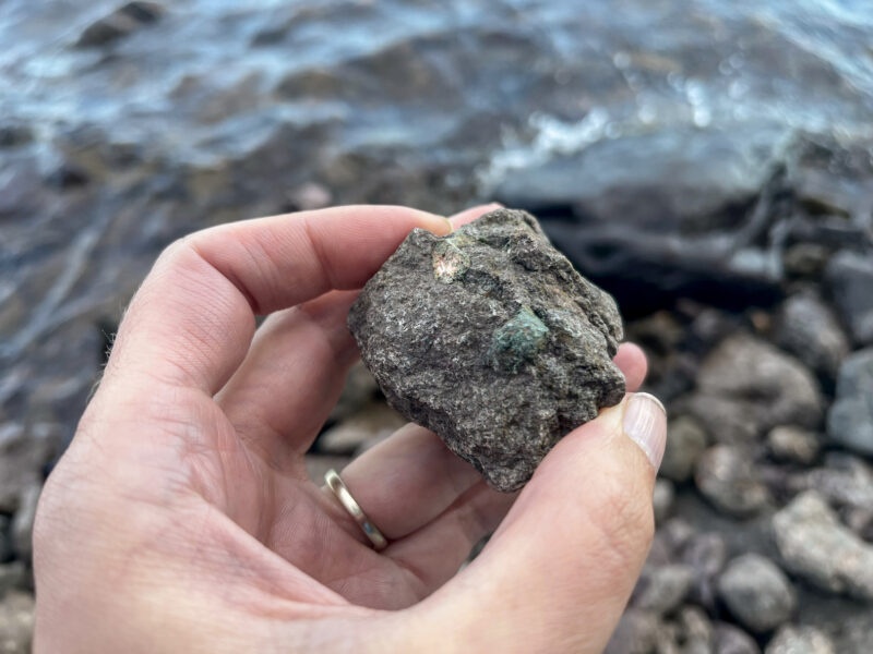
I had looked it up months ago, and while I was pretty sure this is what it looked like, I couldn’t remember for sure. Lots of rocks here had these little inclusions in them! You can’t take rocks from Isle Royale off island, but it was still fun hunting for them!
I also spotted this house out on Mott Island, which is actually the park headquarters:
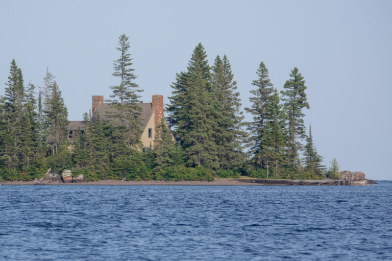
Not sure why it’s way out there, but I guess it’s not that far by boat?
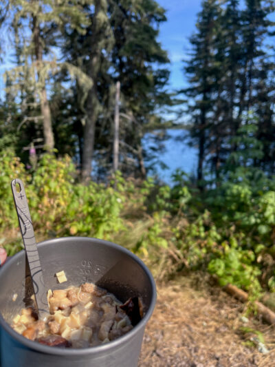
Scenic dinner from my shelter:
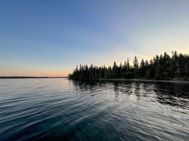
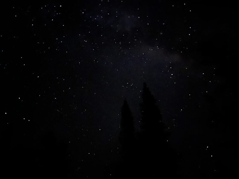
Goodnight, Lake Superior!
It felt wrong to go outside when there’s an increased wolf presence in the area, but I couldn’t resist slipping out to snap a picture of the stars:
Today’s distance: 11.6 miles
Total distance: 59.3 miles