13 March 2024
Trails hiked: Circle Loop with a few side quests
Distance: ~5 miles
For today’s hike, I drove up north a bit to the Chippewa Moraine section of the Ice Age Trail:
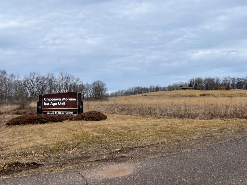
I’ve hiked this loop before and knew it would have the elevation changes I was looking for as I continue to test out gear.
Unfortunately, today was not as nice as yesterday. My car put us at 50°F / 10°C and the overcast skies looked like they might bring rain. I had grabbed a fleece jacket, but now I really wish I had taken the rain jacket instead.
Oh well, I guess I can test how waterproof my bag is?
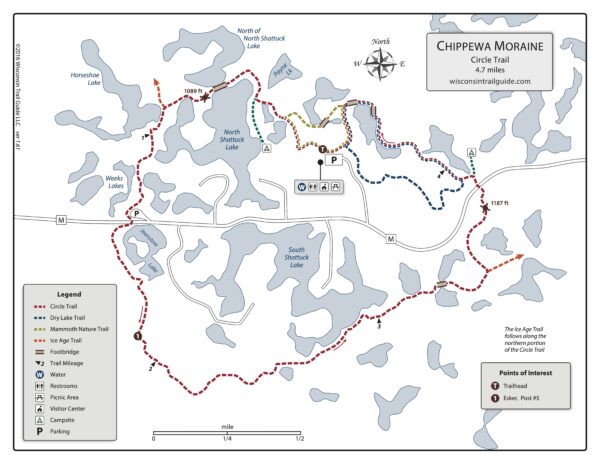
I’m planning on following the Circle Trail (the dashed red line) today, with maybe a couple detours to figure out what those green lines lead to:
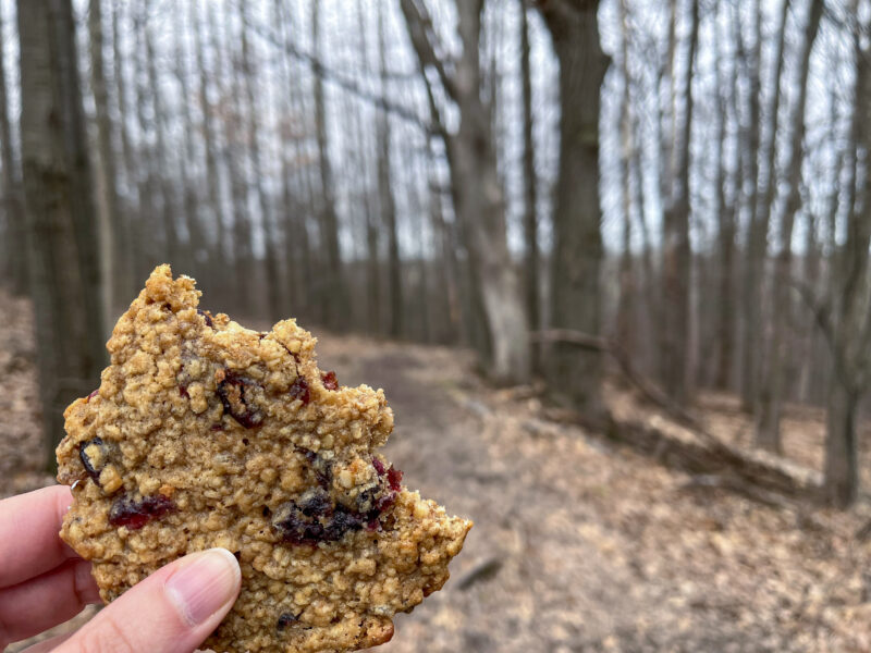
Starting the hike off right with a cranberry walnut oat cookie (from yesterday’s bakery stop in Tomah):
The ground here is definitely muddier than on yesterday’s hike:
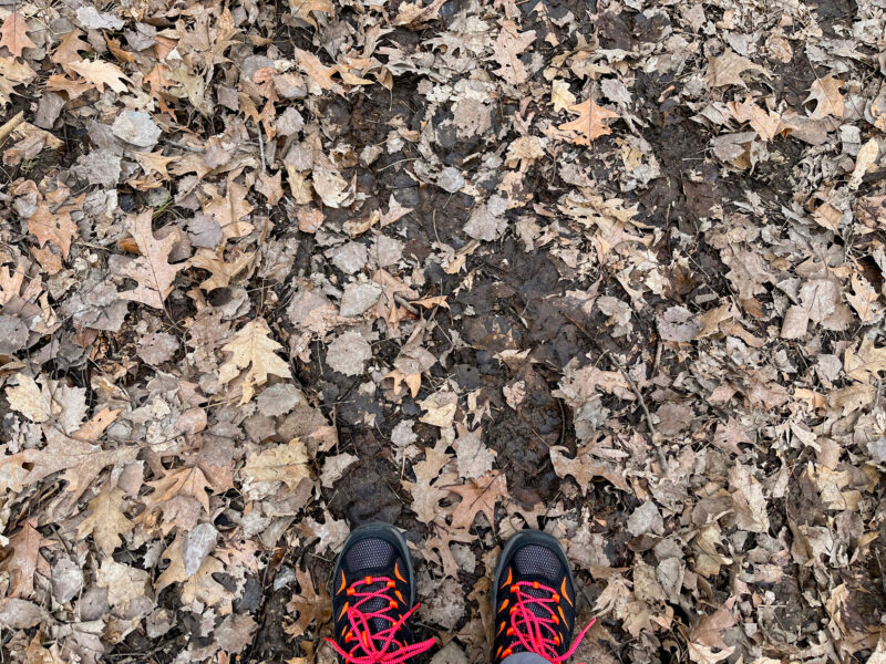
I’m thankful to the fallen leaves for covering up most of the squishy bits.
However, for as wet as the ground is, a lot of the swamps are quite dry:
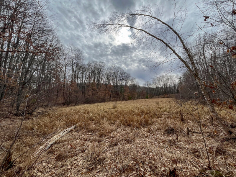
We’ve had so little snow this year, I wonder how that’ll affect things once spring is in full bloom.
First side quest! Those green lines lead to campsites!
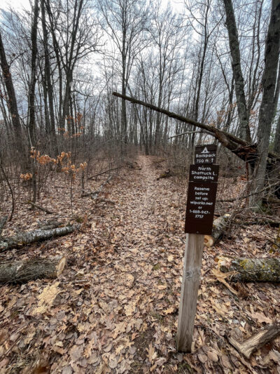
The Ice Age Trail joins my Circle Trail for a bit, and there are several campsites (either marked or dispersed) along the way. I followed the trail back to check out this site (in case I ever do end up section hiking the Ice Age Trail) and unfortunately there was someone staying at this site, but it looks like a nice place right along the lake.
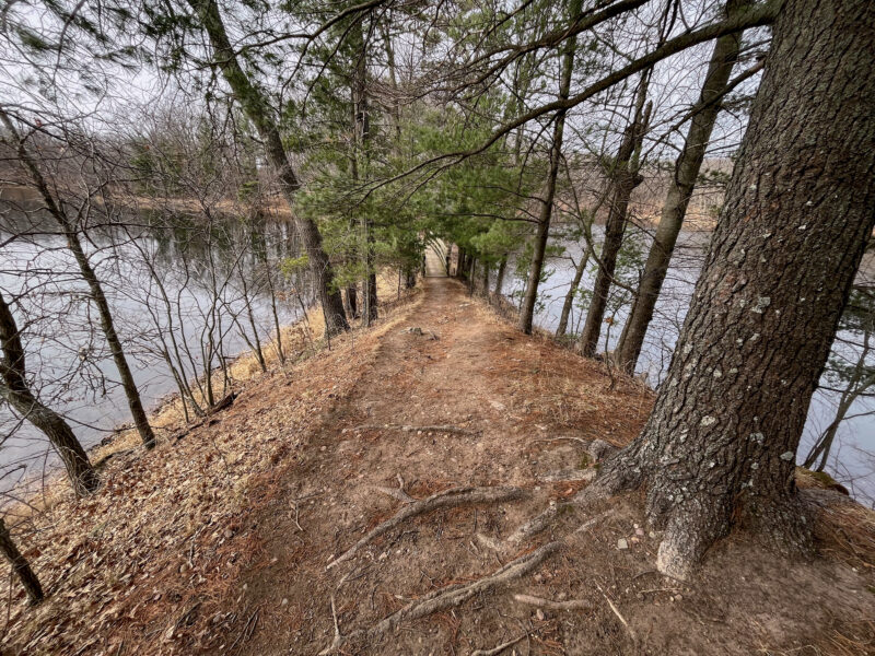
I should have gotten a bit closer so you can see the bridge crossing these 2 lakes:
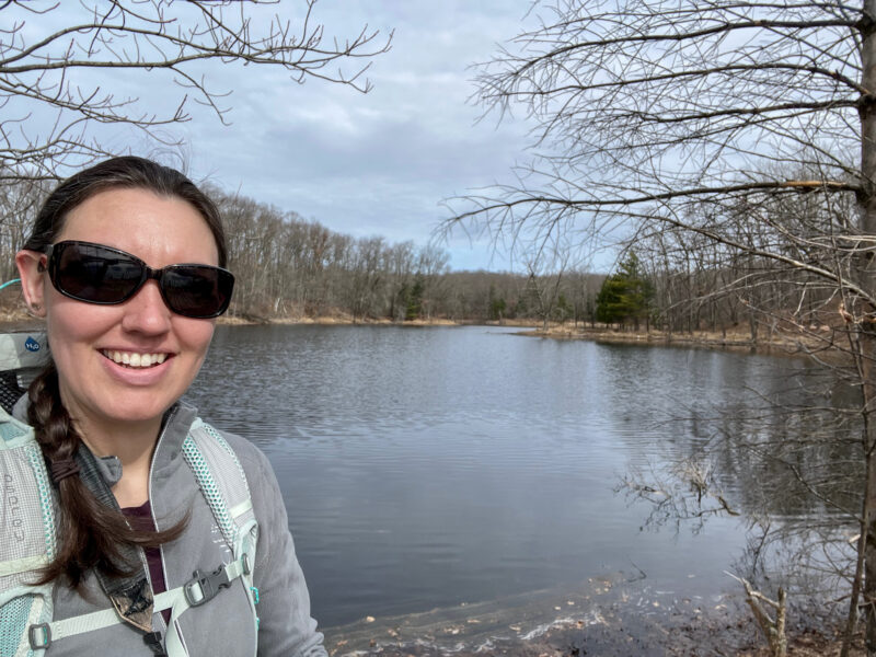
Proof I was here:
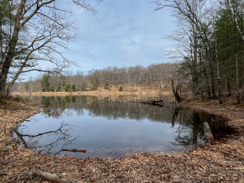
I like this trail because it winds its way through a series of lakes:
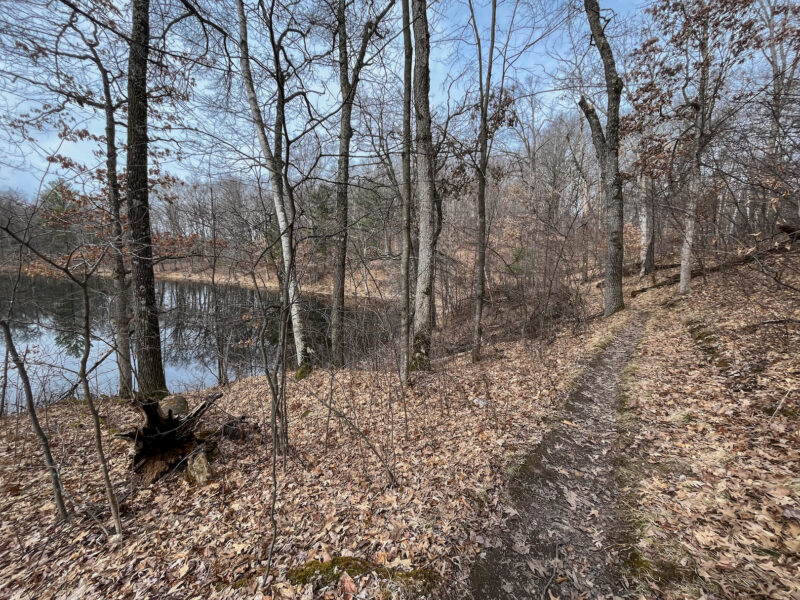
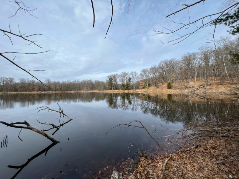
It’s much prettier in the fall when the leaves are changing color, but the views are still nice:
Poor pine!
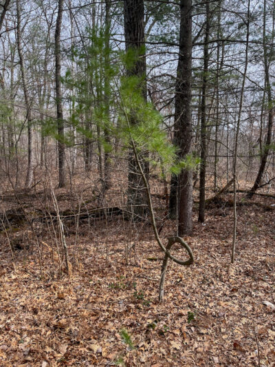
I’m not sure what caused him to grow so curly, but it doesn’t really seem to affect him much.
Wintergreen plant!
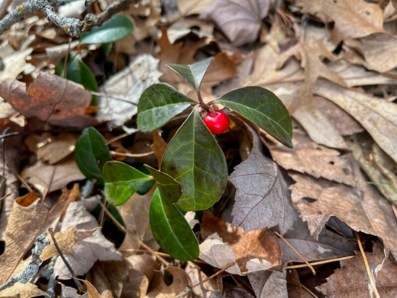
One of the few berries (besides the obvious raspberry/blackberry/strawberry) I can confidently identify.
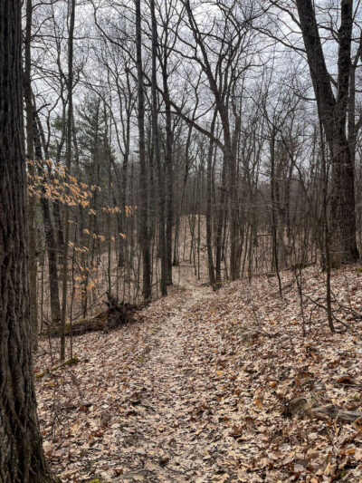
Pictures can’t quite capture just how up and down this path is:
I broke down and scavenged this stick from some fallen branches:
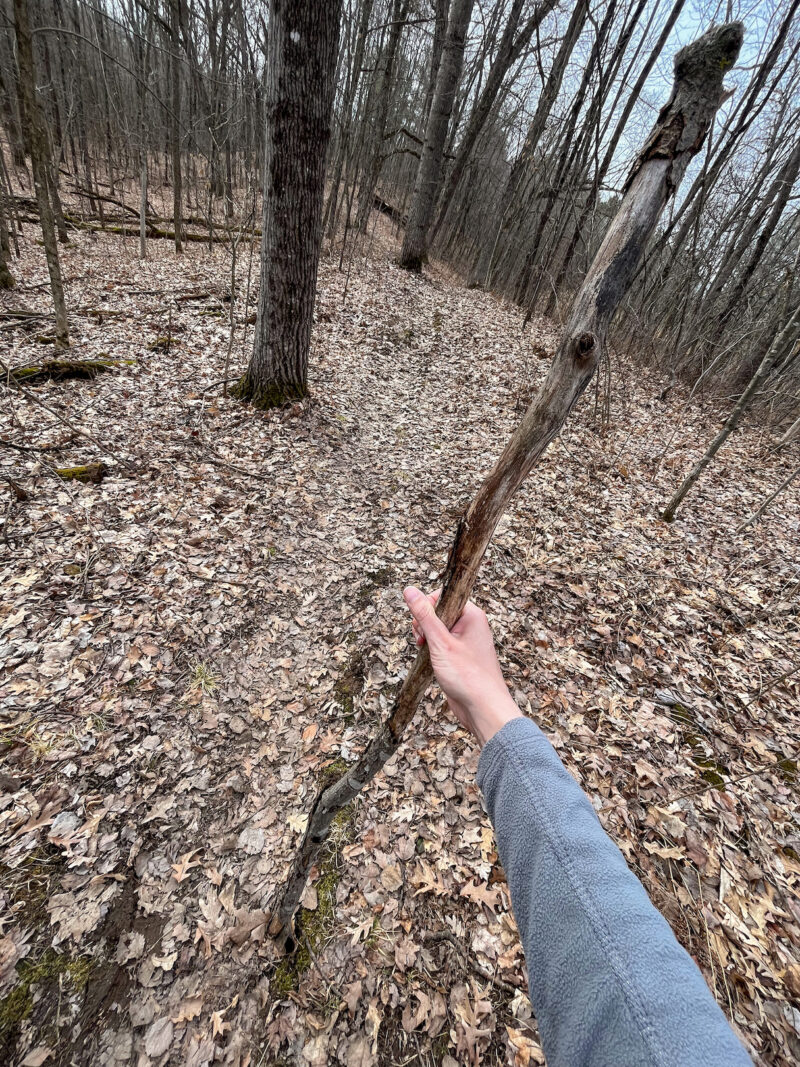
It really did help with the uphill climbs as well as the leaf-covered downs (they got a bit slidey). I see now why people use trekking poles.
Again, I didn’t see a whole lot of wildlife, just this tufted titmouse:
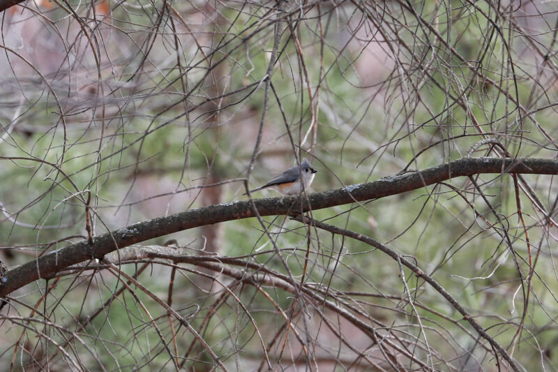
and a handful of woodpeckers that kept hopping behind their tree so I couldn’t take a picture 🙁
Quite a few of the lakes here are still a bit frozen:
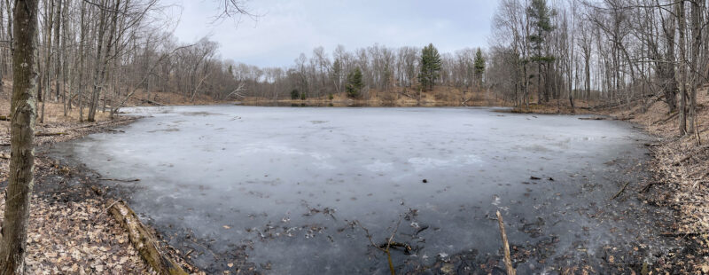
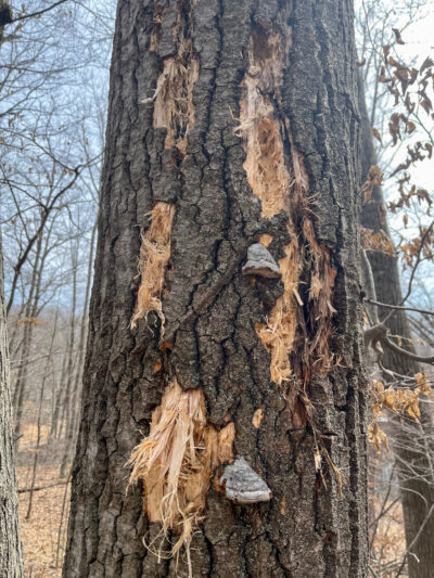
Some bird really did a number on this tree!
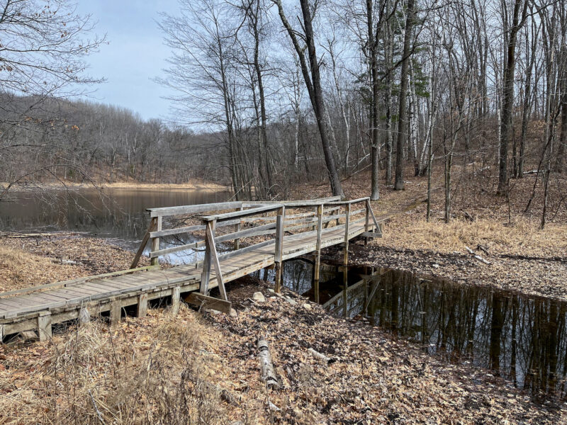
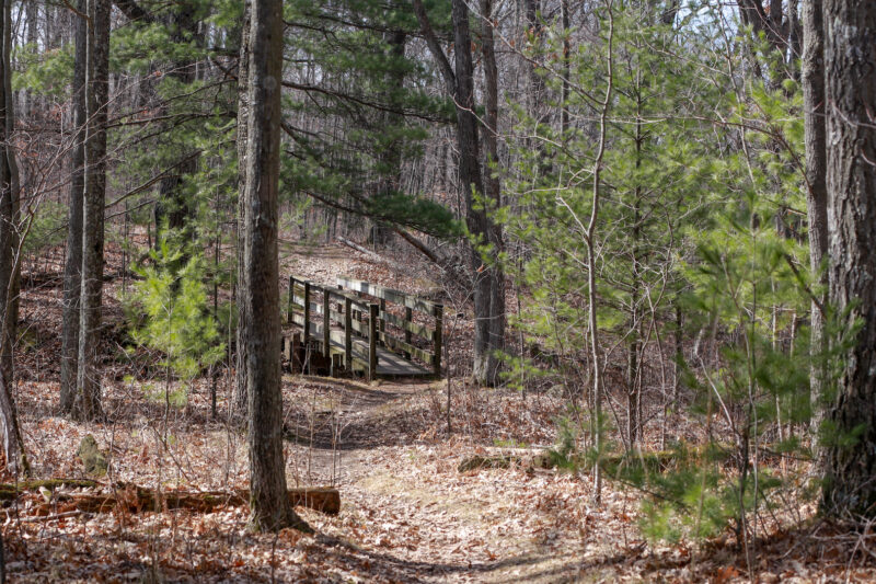
I appreciate all the bridges:
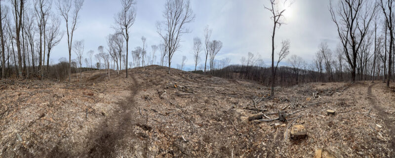
Apparently, part of this trail crosses onto state forest land, and they’ve been doing some logging:
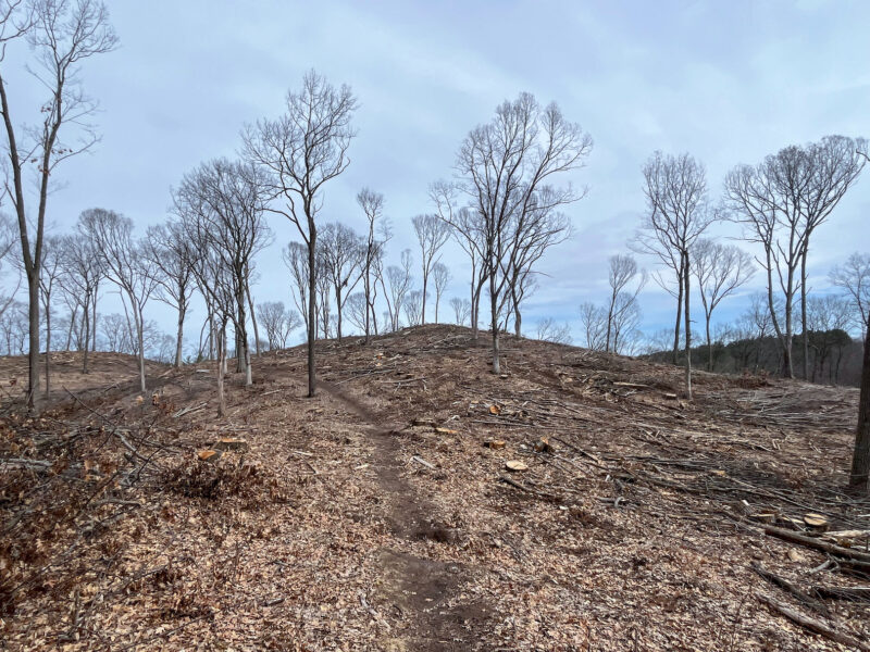
So much devastation and deforestation… I really hope they replant because this carnage was quite disappointing:
Back on the trail, I found another campsite!
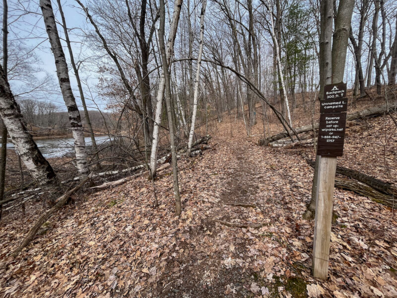
This one was unoccupied, so I checked it out:
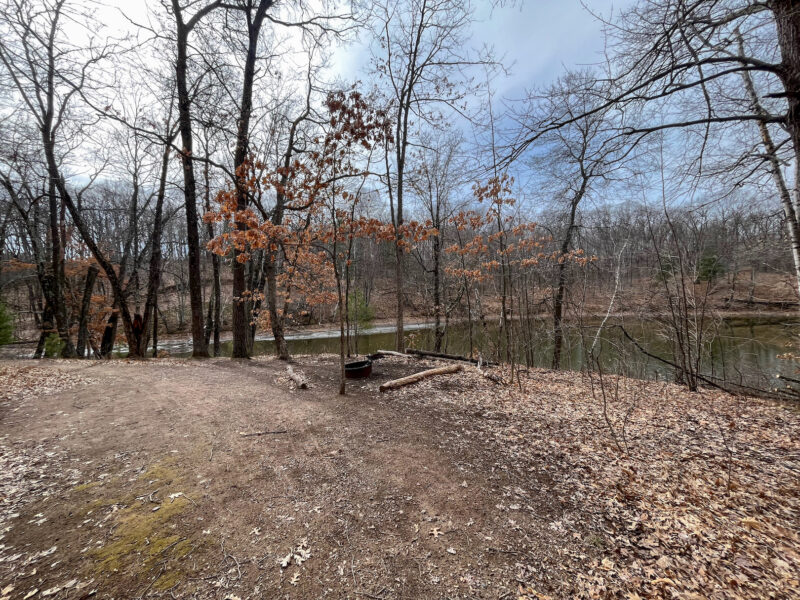
A nice flat area near the lake with a fire ring and trees for a hammock. A bit close to the road- I heard a couple cars drive past, but I don’t think the road get a ton of traffic, so maybe overnights aren’t too bad?
I also spotted this sign:
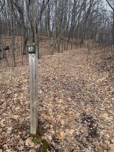
There’s a bathroom out here? an outhouse? or, this is where you’re supposed to dig your cathole?
A short hike around the bend revealed this toilet, which is probably the best view you’ll ever get while using the bathroom:
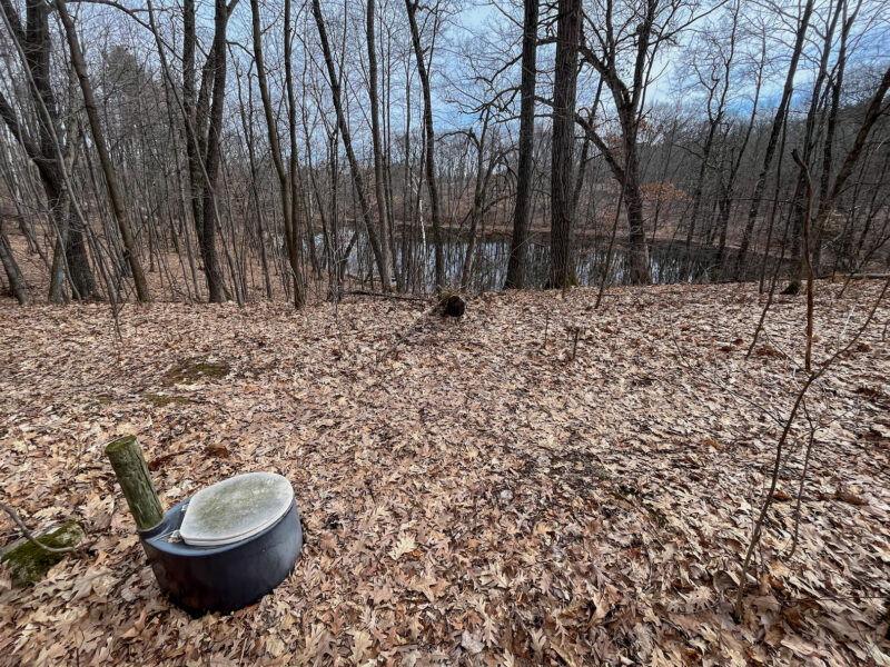
Can confirm, 10/10 bathroom experience (minus the slight fear I’d drop something into the pit)
By the end of the hike, the clouds had lifted and the sun came out!
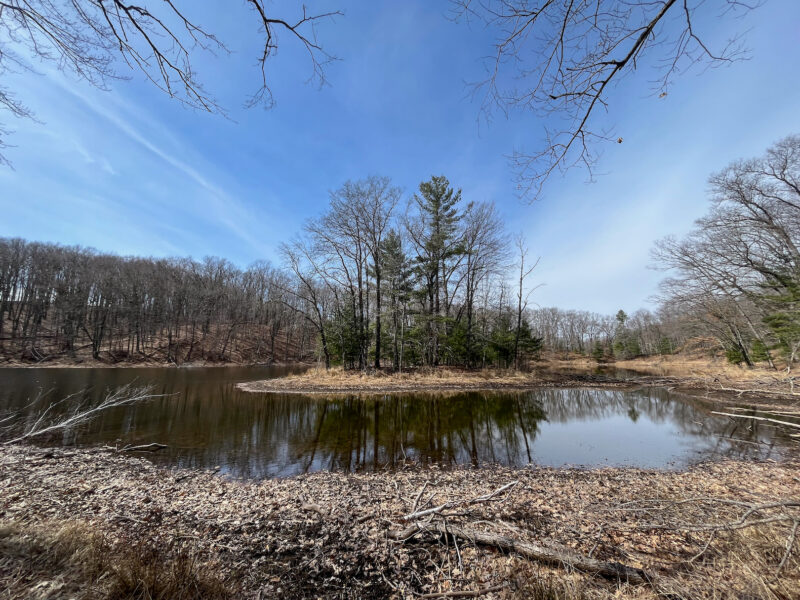
One final bridge:
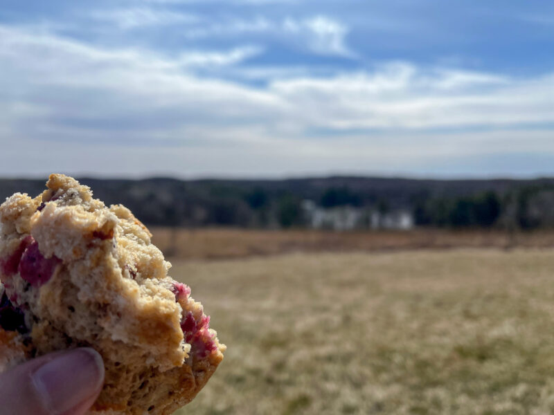
then a short uphill trek back to the visitor’s center, where I enjoyed this post-hike scone (also courtesy of the Tomah bakery):
All in all, not the best time of year to hike this trail, but it felt good to get back-to-back hikes in, with a decently full pack. I’ll probably take the rest of this week off (it’s supposed to get cold again, and I’m a wimp), but I’m enjoying getting out and exploring and getting back in shape!