12 Mar 2024
Trails hiked: Mostly Acorn with Eagle Ridge, Chickadee Rock and a Mound Climb mixed in
Distance: ~7 miles
Welcome to Roche-a-Cri State Park!
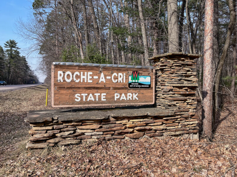
Roche à cri is French for “Screaming Rock”, though why the rock is screaming, I have no idea. Looks like a perfectly standard rock to me:
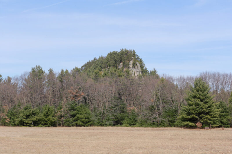
Maybe there’ll be a crevice or something when I get closer up?
The park is still running on winter hours, so I had to park down in the Winter/Prairie parking lot:
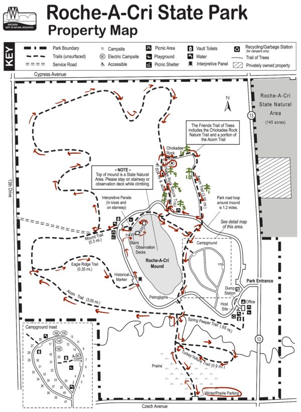
This is the route I hiked; I’ll explain the green markings later.
Unfortunately, the prairie isn’t growing at the moment, so my hike began in this open field:
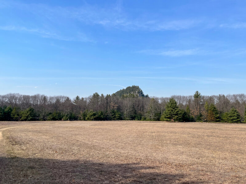
That’s Roche-a-Cri Mound in the background
But it’s a beautiful, sunny day (68°F / 20°C according to my car), so let’s go hiking!
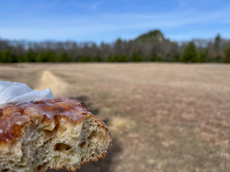
A traditional pre-hike donut (from The Baker’s Table in Tomah). Yum!
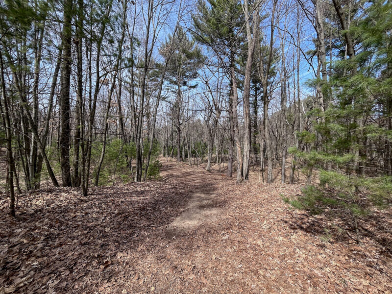
The paths here are wide, flat and padded with fallen leaves:
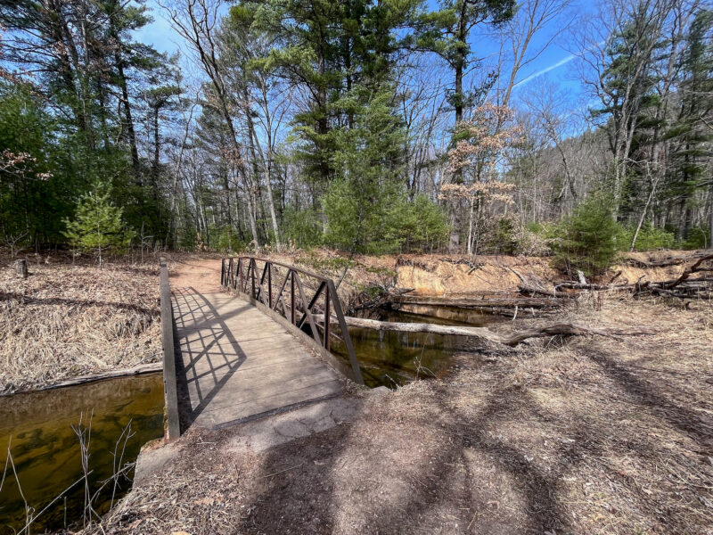
Bridge over Carter Creek:
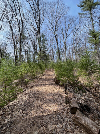
A slight incline:
Most of the benches I passed were 2-seaters, but I found this little 1-seater!
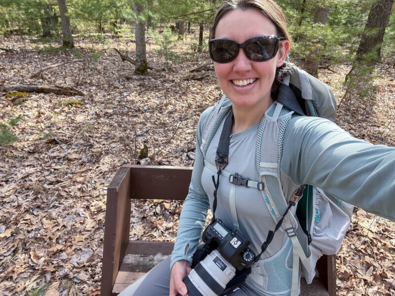
I fit!
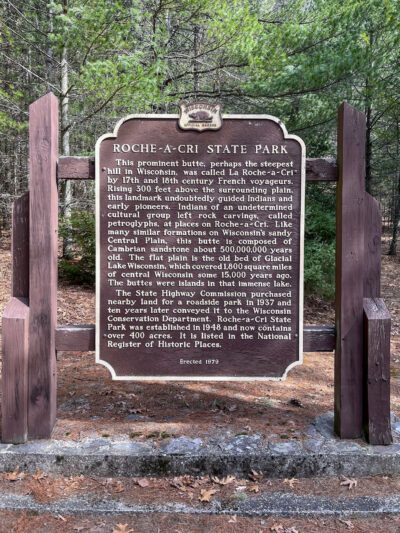
I thought about hiking the bulk of Acorn Trail before climbing the mound, but ultimately decided it would be best to ascend on fresh legs, so I cut over on the Eagle Ridge Trail to this Historical Marker:
Then followed the road to the Top of the Rock Trail:
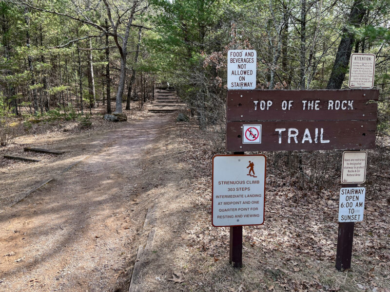
The sign wasn’t lying, those 303 stairs to the top were rough!
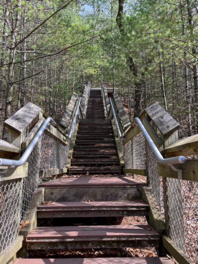
Halfway up- I’m definitely out of shape and needed to take a break. I’m also testing out a new backpack and had loaded it with ~15lbs of gear, which wasn’t helping.
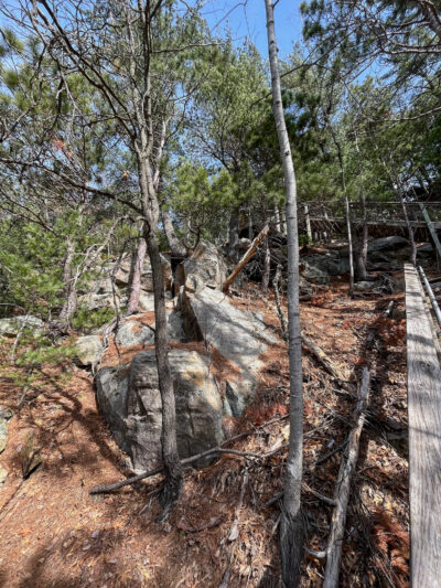
Finally! Made it to the observation deck!!!
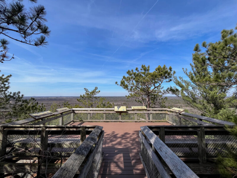
I’m on top of the world!
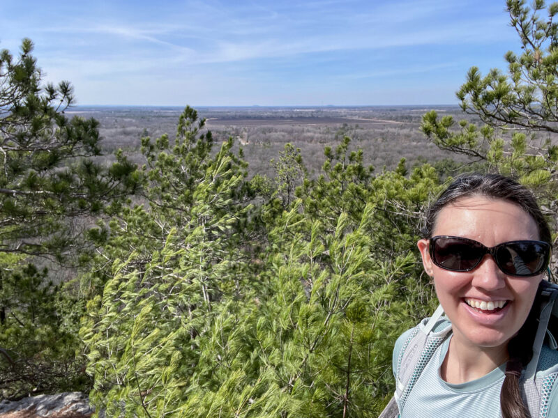
There were some plaques showing what landmarks were visible in the distance, but I had a hard time finding anything through the trees. Here’s a panorama of the views:
And back down we go:
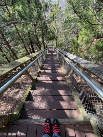
(down was almost worse- my knees were not a fan!)
Back on the Acorn Trail, I found this precariously perched tipped-over tree:
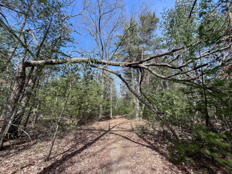
Ah, shade!
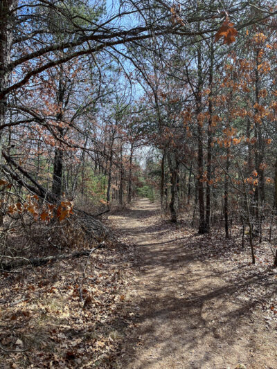
For as warm as it was today, there was a nice breeze that kept me from overheating.
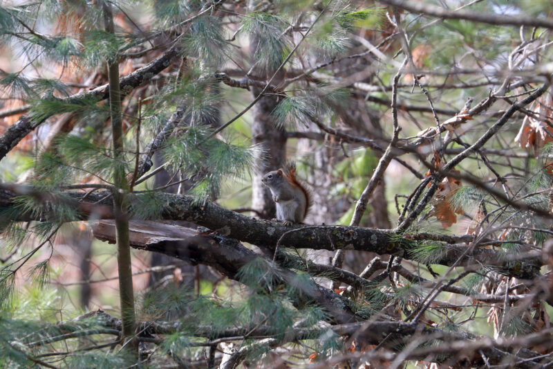
I didn’t see much in the way of wildlife- just this squirrel:
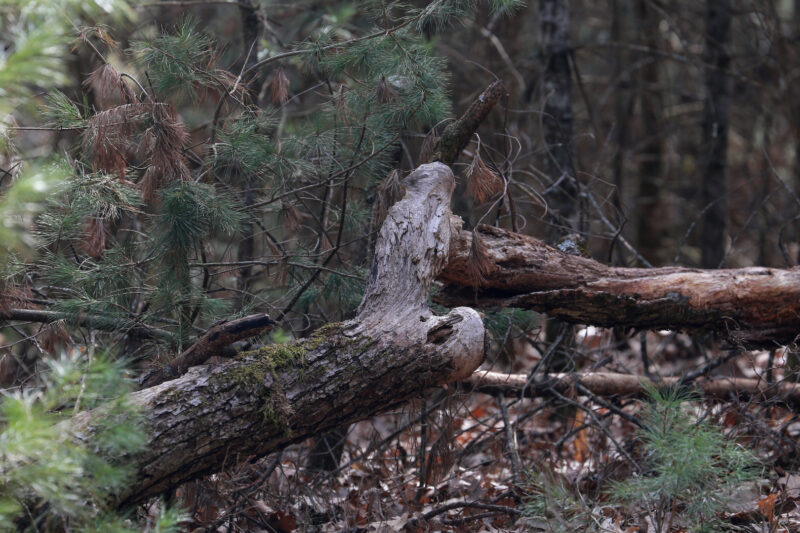
And this stump that, from a distance, I hoped might be an owl or other fun bird:
Chickadee Rock:
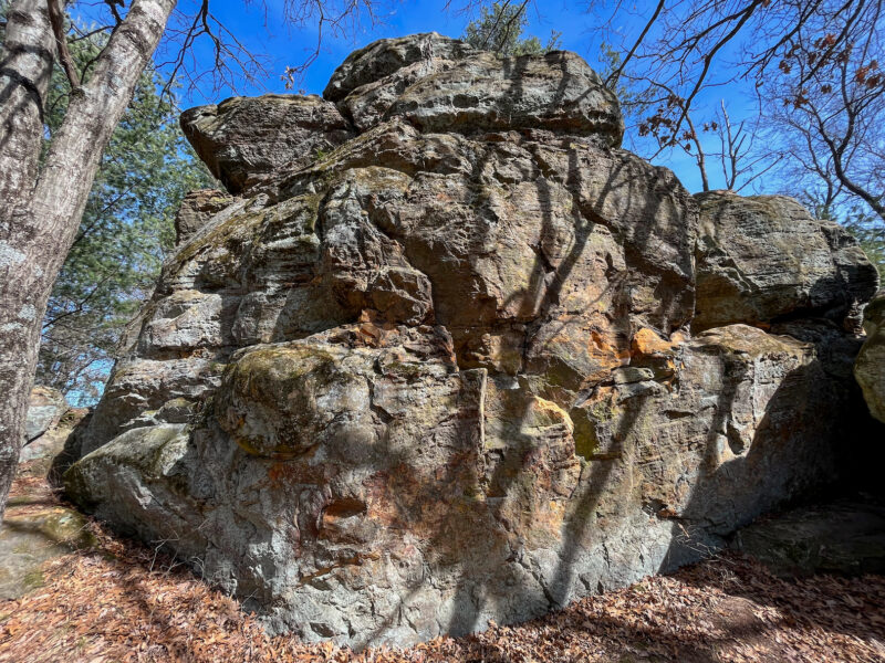
I would have called it a duck, but ¯\_(ツ)_/¯
A fallen rock inside that shadowy area to the right:
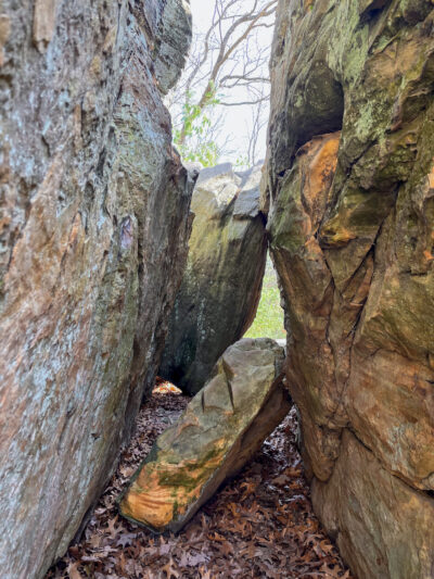
I basically made a loop around the rock and along the way, I discovered this tree with a numbered sign:
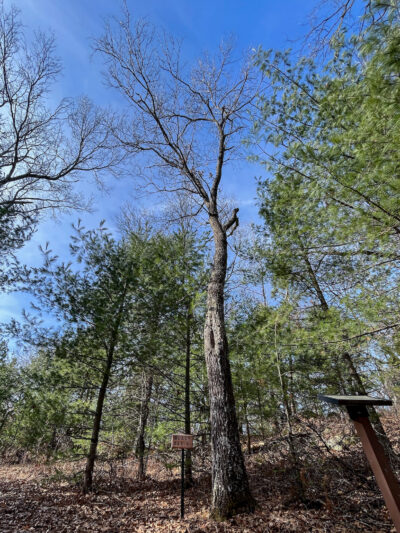
Black Oak 9… are there 8 Black Oaks that came before it? Eight other numbered trees? …I now have a new mission- find the numbered trees!
(Spoiler Alert: that’s what the green numbered symbols are on my map- the number and approximate location of the marked trees)
Cottonwood 6:
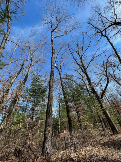
Pin Cherry 10
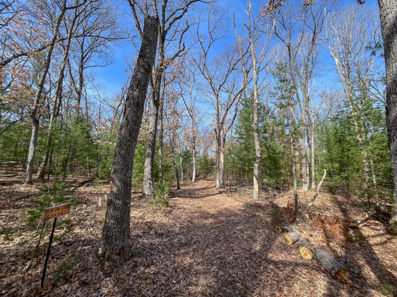
…I think they’re going to need to find a new Pin Cherry tree…
Red Pine 1:
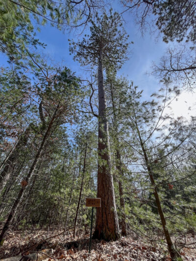
Red Oak 3:
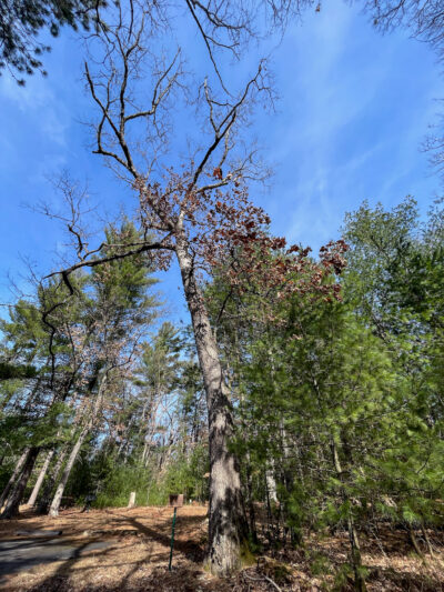
When my trail met up with the main road, I noticed this sign:
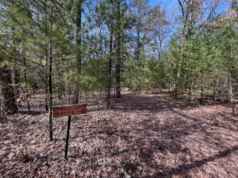
Trail of Trees? Yes please! Maybe this is where my remaining trees will be!
White Pine 4:
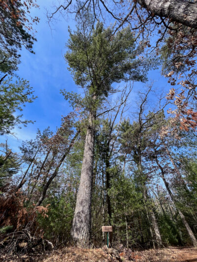
Jack Pine 8:
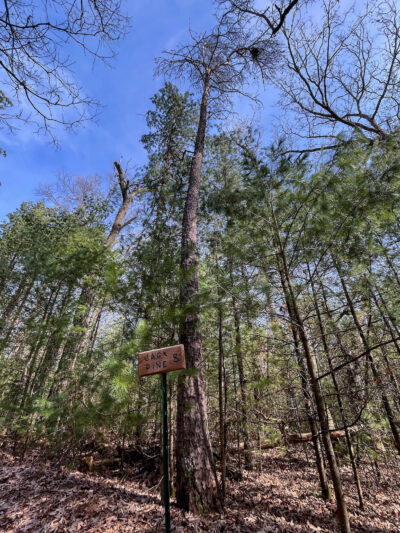
Unfortunately, this trail links back up with the Acorn Trail at Chickadee Rock, so either I missed some trees or, like the fallen Pin Cherry, the trees are no more 🙁
I might have to come back when the park is actually open and ask one of the rangers.
For now, it’s back to the Acorn Trail to find some Petroglyphs. Most of the trail was well maintained (or I got lucky and no trees came down on the front half of the trail), but this is the 2nd downed tree I came across on this stretch:
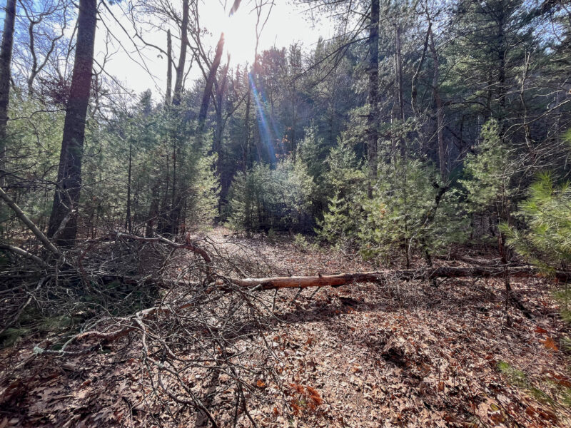
Fortunately, they were both low enough to just step over.
I had hoped by hiking the Acorn loop, I’d get some great views of the mound, but there are just too many trees in the way that I couldn’t really see the rock until I got close to the petroglyph area:
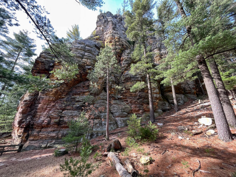
A selfie stand!
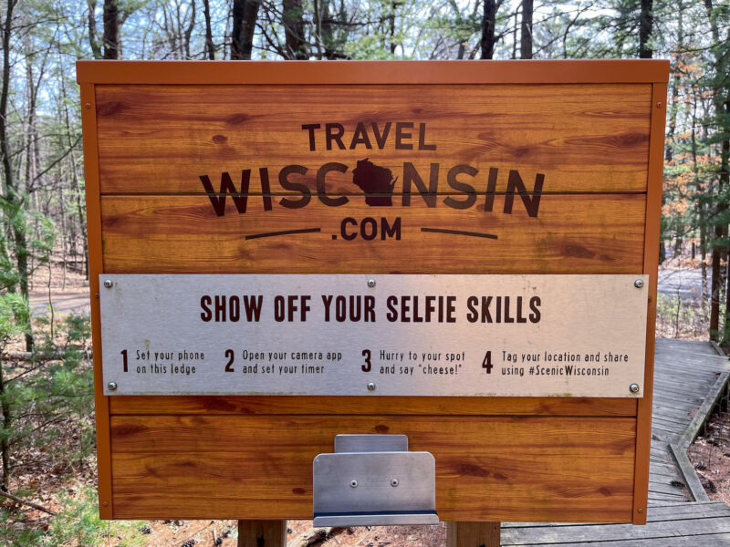
Nailed it!
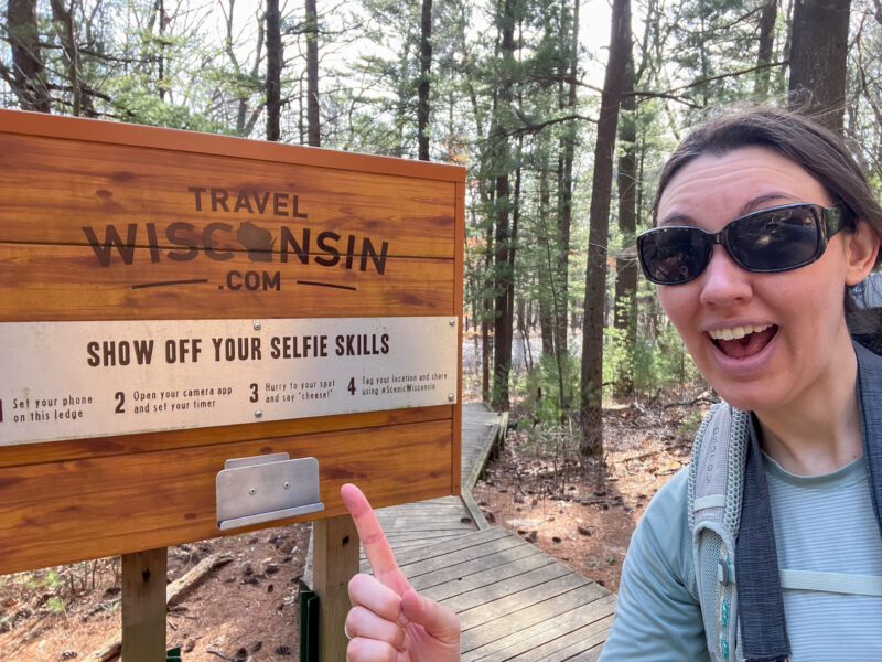
Just kidding, I got a much better shot:
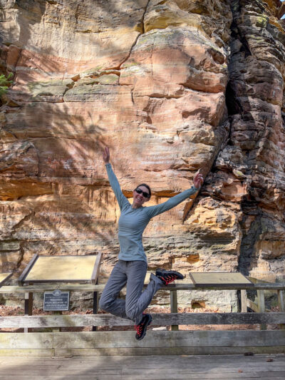
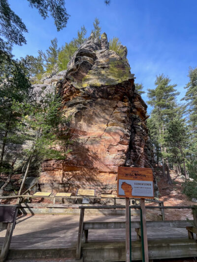
Petroglyphs, zoomed out:
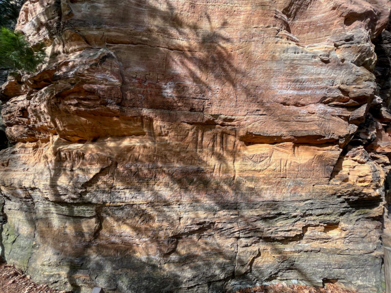
Petroglyphs, zoomed in:
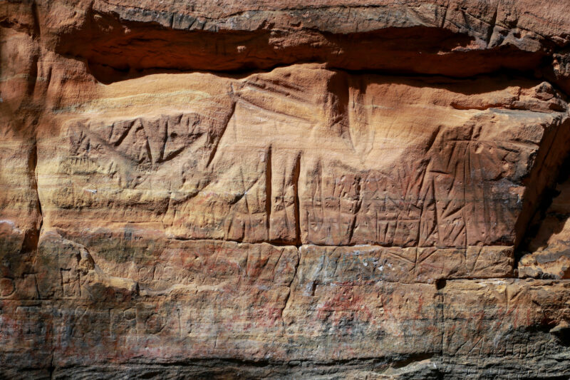
A lot of them are hard to see, because while soft stone is easy to carve into, it also erodes quite readily:
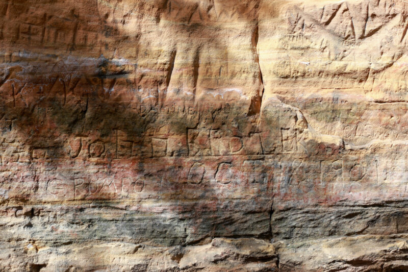
The engraving here are a combination of native and old time graffiti:
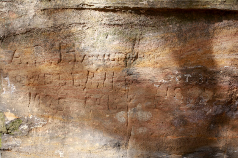
People were caving their names during the 1800s into the early 1900s:
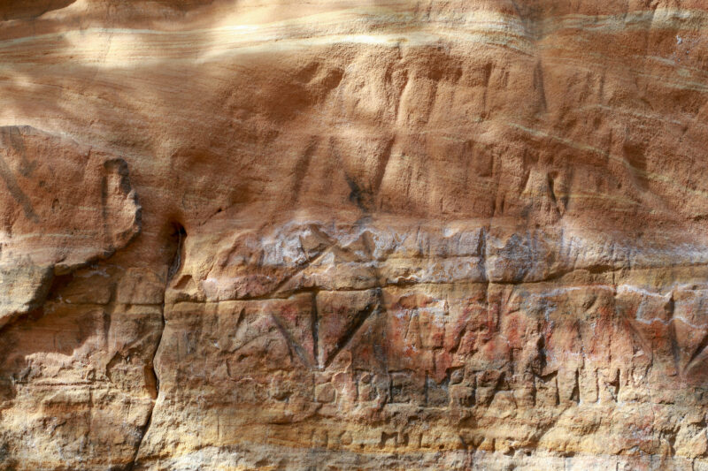
Which is unfortunate because the native carvings and pictograms had been there for hundreds of years prior, and are now quite obscured:
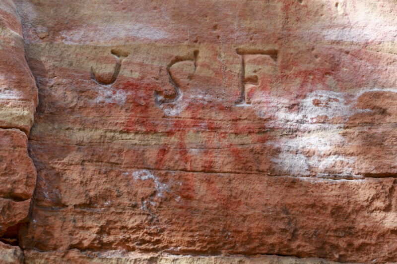
The color gradients of the rock, however, were quite beautiful!
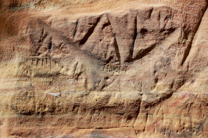
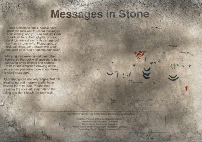
An explanation/description from a helpful sign:
I wish I had taken this picture from a few steps closer, so the selfie sign wasn’t in the way:
Then it was back on the Acorn Trail, where I found this cool creek bend:
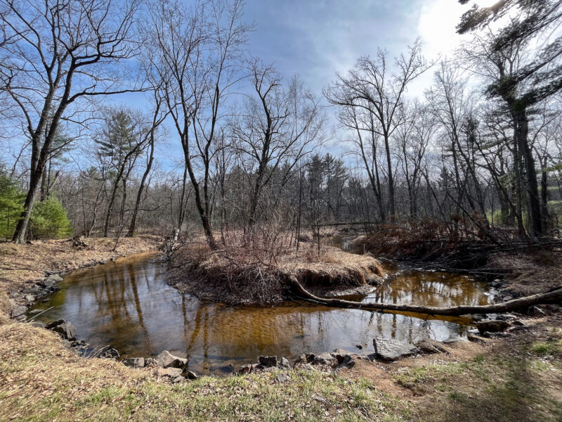
And, since my legs and feet still felt good, I took a short loop detour along the Turkey Vulture Trail (where I saw no turkey vultures) before crossing the prairie back to my car.
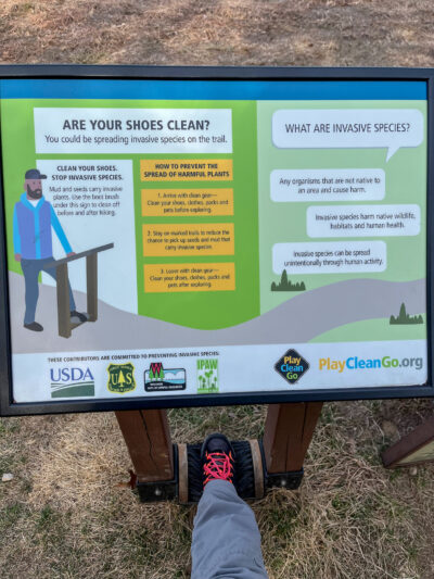
Following the rules:
I stocked up on schnecks during my bakery run this morning, so today’s post-hike reward is a peach pecan muffin (an odd combo that works well enough) and a no-longer-cold brew coffee.
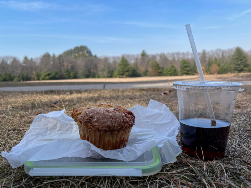
An awesome way to end an awesome hike!